The best hikes in Plymouth County
Massachusetts · 142 HiiKER Hikes
View Hikes on map
What to expect
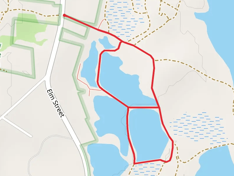
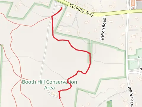
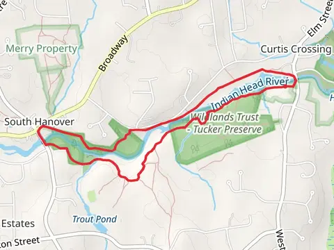
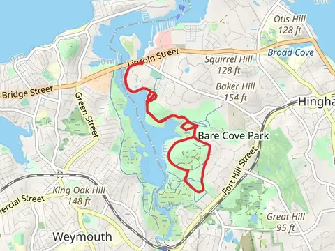
Check out some of the best hiking, walking and backpacking routes in Plymouth County, Massachusetts. The Great Island Pond Loop is the most popular trail. There are trails of various difficulty levels including easy and medium. The trail with the highest elevation climb is the Manomet Hill Loop Trail and the trail with the least amount of climbing is the Plymouth Breakwater Trail. The longest trail is the East Head Pond to Savery Pond via The Atlantic Way at 22.9 km. For a shorter adventure you can try the Delano Road at 330 m. Get off line access to Town, Restaurant, History, and Peak locations and much more with a Hiiker subscription.

Be prepared for hiking in Massachusetts with the HiiKER app