The best hikes in Franklin County
Massachusetts · 120 HiiKER Hikes
View Hikes on map
What to expect
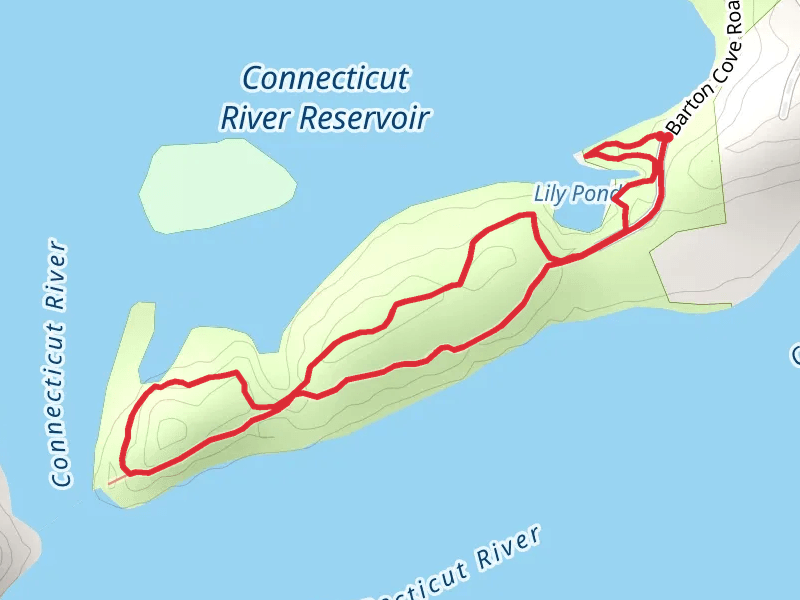
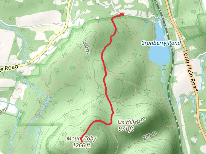
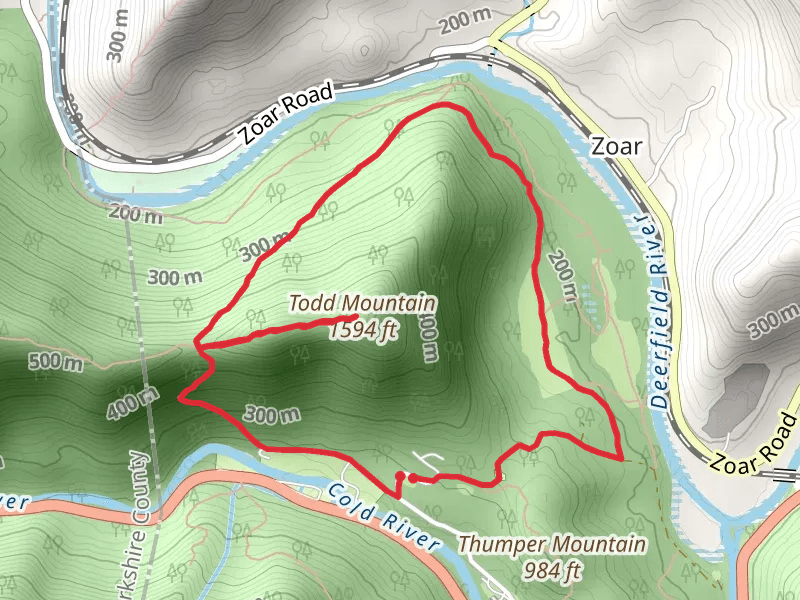
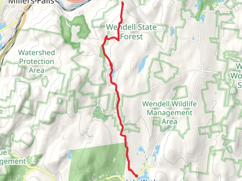
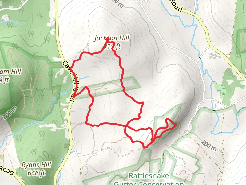
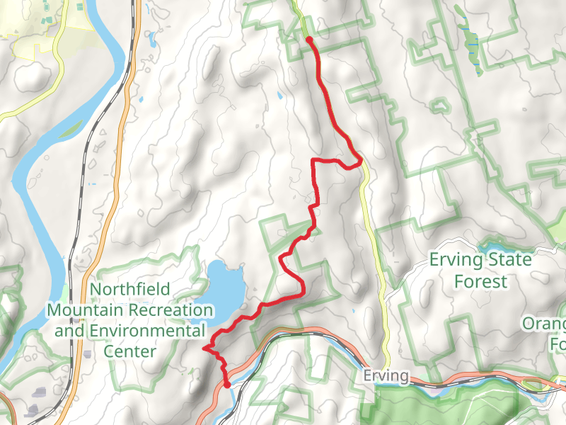
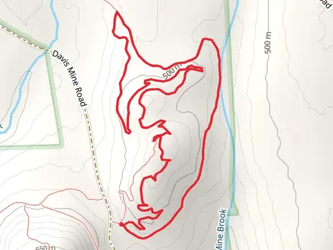
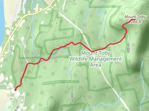
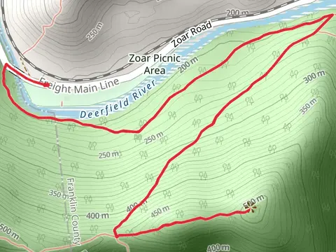
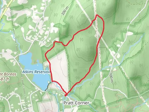
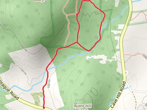
Check out some of the best hiking, walking and backpacking routes in Franklin County, Massachusetts. The Barton Cove Loop Trail is the most popular trail. There are trails of various difficulty levels including easy and medium. The trail with the highest elevation climb is the Pocumtuck Rock Trail and the trail with the least amount of climbing is the Canalside Rail Trail. The longest trail is the Ruggles Pond via Metacomet - Monadnock Trail at 21.4 km. For a shorter adventure you can try the South Sugarloaf Mountain Trail Out and Back at 531 m. Get off line access to Water, History, Town, and Peak locations and much more with a Hiiker subscription.

Be prepared for hiking in Massachusetts with the HiiKER app