Download
3D Flyover
Add to list
More
58.7 km
~3 days
542 m
Multi-Day
“Embark on the Mantario Trail for a challenging, scenic hike through Manitoba's historic wilderness.”
The Mantario Trail is a rugged, backcountry hiking route that traverses the Canadian Shield in Manitoba's Whiteshell Provincial Park. This approximately 59 km (36.7 miles) trail offers hikers a challenging yet rewarding experience, with an elevation gain of around 500 meters (1640 feet), showcasing the natural beauty of boreal forests, pristine lakes, and rocky outcrops.
Getting to the Trailhead
To reach the starting point of the Mantario Trail, you can drive to the southern trailhead located near Division No. 1, Manitoba, just off of Provincial Road 312 near Caddy Lake. For those relying on public transportation, options are limited, and it's generally recommended to arrange a shuttle or taxi service from the nearest towns or cities, such as Winnipeg, which is approximately 150 km (93 miles) away.
Navigating the Trail
The Mantario Trail is a point-to-point hike, meaning you'll start and finish at different locations, so planning for transportation back to your starting point is crucial. Hikers can rely on the HiiKER app for detailed maps and navigation assistance throughout the hike.
Trail Experience
As you embark on the Mantario Trail, you'll be greeted by mixed forests of pine, spruce, and aspen. The path is well-marked with blue and white markers, but due to the remote nature of the trail, it's essential to stay vigilant to avoid getting lost. The terrain is varied, with some flat sections giving way to steep, rocky climbs that can be challenging, especially when wet.
Landmarks and Natural Features
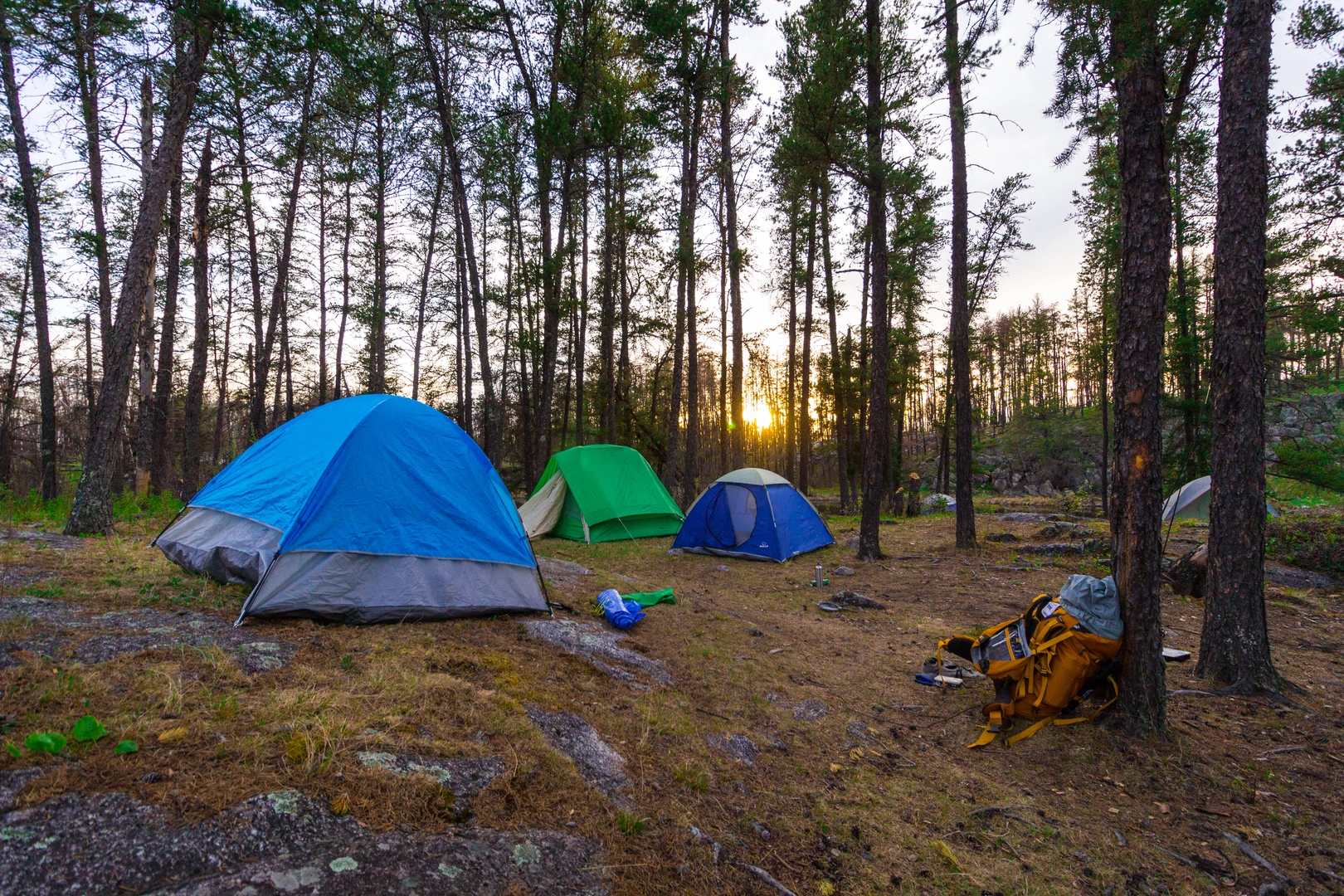
About 10 km (6.2 miles) into the hike, you'll encounter the first of many backcountry campsites, which are situated near lakes and offer a chance to rest or spend the night. The trail offers numerous opportunities for wildlife sightings, including moose, black bears, and a variety of bird species.
One of the highlights is the halfway point at Mantario Lake, a serene spot perfect for a refreshing swim or a peaceful lunch break. The trail continues to weave through the wilderness, with each section offering its own unique landscape and challenges.
Historical Significance
The region holds historical significance as part of the Canadian Shield, one of the world's oldest geological formations. The area has been shaped by centuries of Indigenous presence, fur trade routes, and the logging industry, all of which have left their mark on the landscape.
Preparation and Safety
Given the trail's remote nature and medium difficulty rating, it's essential to be well-prepared. Hikers should carry a reliable map, compass, and the HiiKER app for navigation. It's also crucial to pack enough food, water, and gear for the unpredictable weather conditions that can occur in this region. Always let someone know your itinerary and expected return time.
Conclusion
The Mantario Trail is a true wilderness adventure for those looking to immerse themselves in the rugged beauty of Manitoba's backcountry. With proper preparation and respect for the natural environment, hikers can enjoy a memorable experience traversing this scenic and historically rich trail.

What to expect?
Activity types
Comments and Reviews
User comments, reviews and discussions about the Mantario Trail, Manitoba.
5.0
average rating out of 5
4 rating(s)