The best hikes in Powell County
Kentucky · 37 HiiKER Hikes
View Hikes on map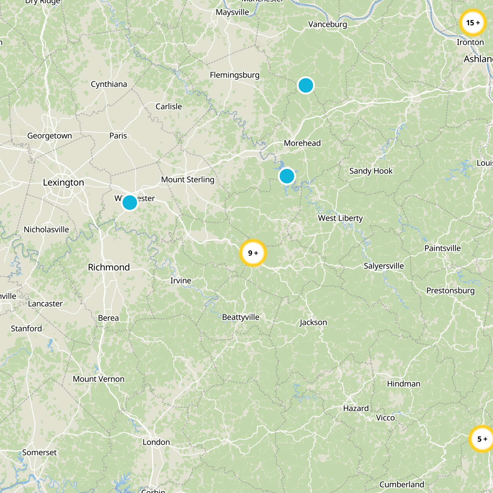
What to expect
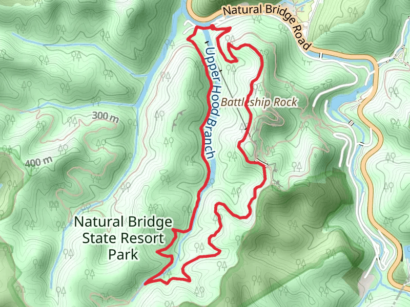
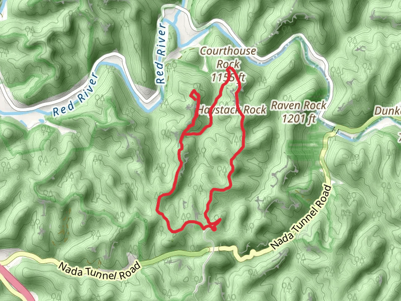
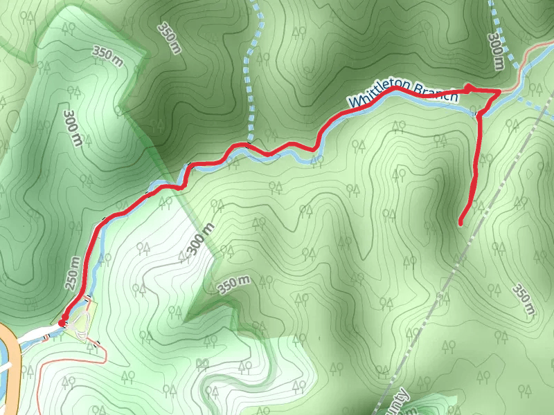
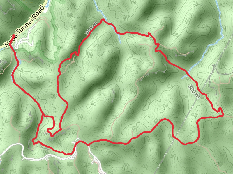
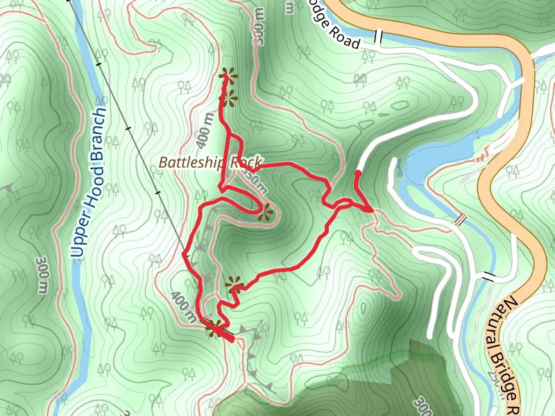
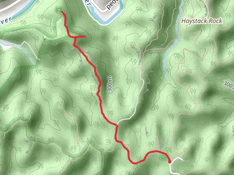
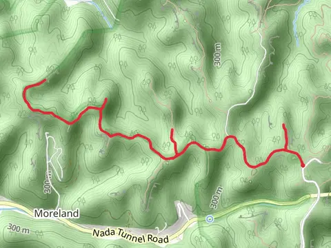
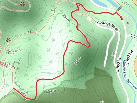
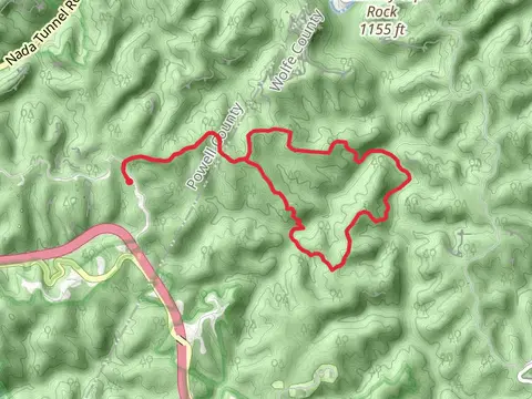
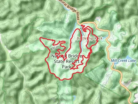
Check out some of the best hiking, walking and backpacking routes in Powell County, Kentucky. The Sheltowee Traceand Whittleton Arch Trail is the most popular trail. The trail with the highest elevation climb is the Pilot Knob and Sage Point Loop and the trail with the least amount of climbing is the Brush Creek Road Loop. The longest trail is the Sheltowee Trace and Wildcat Trail at 31.9 km. For a shorter adventure you can try the Military Wall Trail at 1.0 km. Get off line access to Shop, Viewpoint, Peak, and Campsite locations and much more with a Hiiker subscription.

Be prepared for hiking in Kentucky with the HiiKER app