The best hikes in Bath County
Kentucky · 4 HiiKER Hikes
View Hikes on map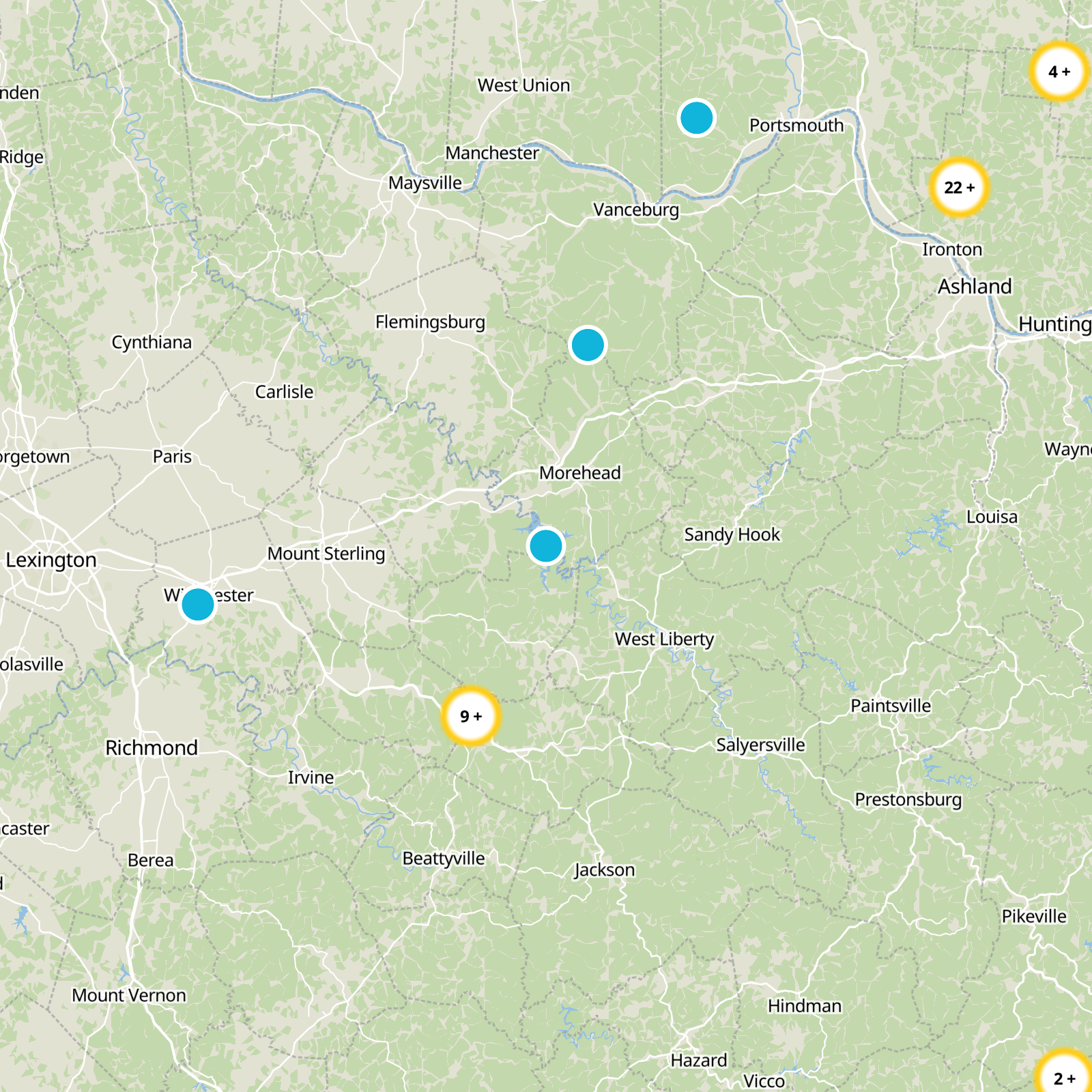


What to expect
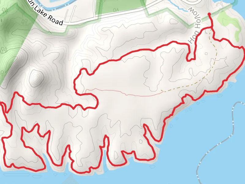
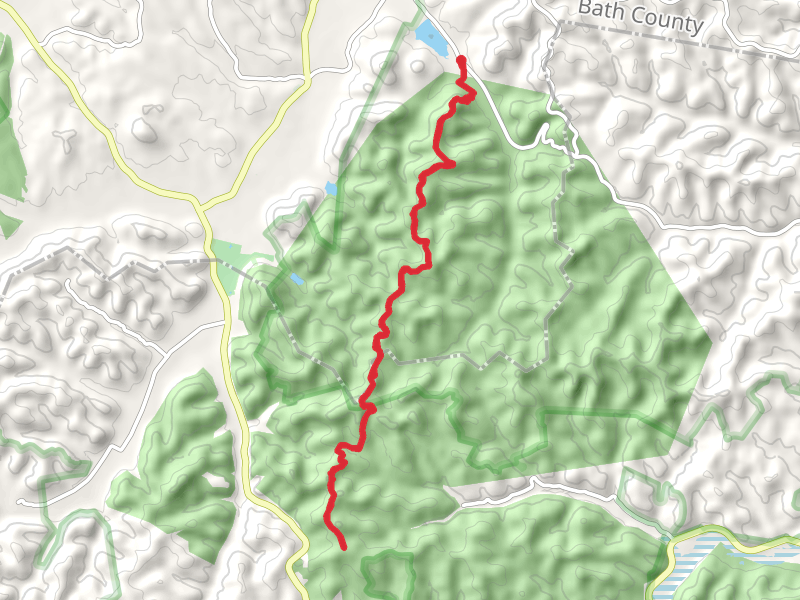
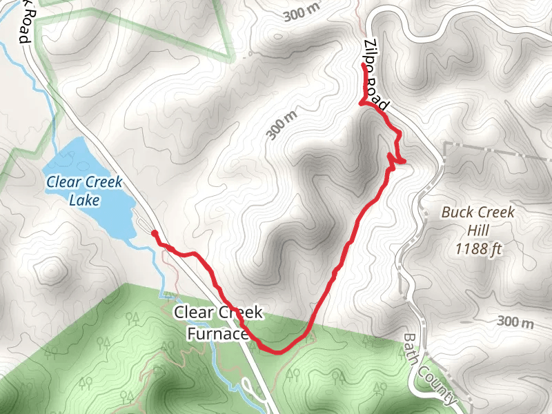
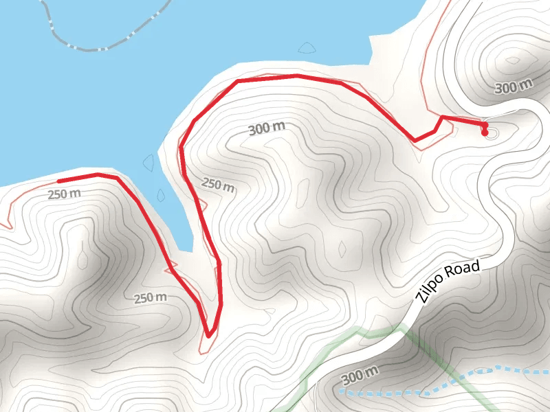
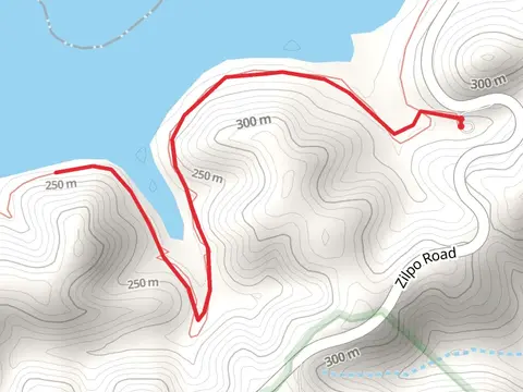
Check out some of the best hiking, walking and backpacking routes in Bath County, Kentucky. The Caneyand Sheltowee Trace Loop Trail is the most popular trail. The trail with the highest elevation climb is the Sheltowee Trace NRT from Cedar Creek Road and the trail with the least amount of climbing is the BuckSkin Walk. The longest trail is the Sheltowee Trace NRT from Cedar Creek Road at 23.4 km. For a shorter adventure you can try the BuckSkin Walk at 4.5 km. Get off line access to Water, Campsite, and Peak locations and much more with a Hiiker subscription.

Be prepared for hiking in Kentucky with the HiiKER app