Download
3D Flyover
Add to list
More
38.0 km
~2 days
61 m
Multi-Day
“Explore the Landon Nature Trail's serene 38 km path through historic and wildlife-rich Kansas landscapes.”
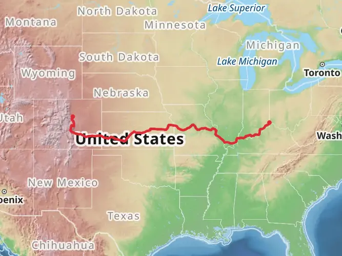
The Landon Nature Trail, spanning approximately 38 kilometers (about 23.6 miles), offers an easy, flat hike through the scenic landscapes of Osage County, Kansas. With virtually no elevation gain, it's an accessible route for hikers of all skill levels, including families and those looking for a leisurely walk in nature.
Getting to the Trailhead
To reach the starting point of the Landon Nature Trail, you can drive to the vicinity of Osage County. The trailhead is conveniently located near the intersection of W 197th St and S Shawnee Heights Rd, just a short distance from the town of Overbrook. For those relying on public transportation, options may be limited, so it's advisable to check local transit resources or consider a taxi or rideshare service to get you to the starting point.
Trail Experience
As you embark on your journey from the trailhead, you'll find yourself immersed in the diverse landscapes that Kansas has to offer. The trail is well-maintained and primarily consists of crushed stone and dirt, making it suitable for both walking and biking.
Wildlife and Vegetation
The Landon Nature Trail is a haven for wildlife enthusiasts. As you traverse the path, keep an eye out for the variety of birds that call this area home. The surrounding fields and woodlands are also home to deer, rabbits, and other small mammals. The flora along the trail is typical of the Kansas prairie, with wildflowers blooming in the spring and summer months, adding splashes of color to the greenery.
Historical Significance
The region holds historical significance, as it was once a part of the early transportation routes that facilitated trade and travel in the 19th century. Hikers will be walking along paths that have been used for generations, offering a sense of connection to the past.
Navigating the Trail
For those looking to navigate the trail with ease, HiiKER is an excellent tool to use. It provides detailed maps and information that can help you plan your hike, ensuring you don't miss any of the significant landmarks or points of interest along the way.
Points of Interest
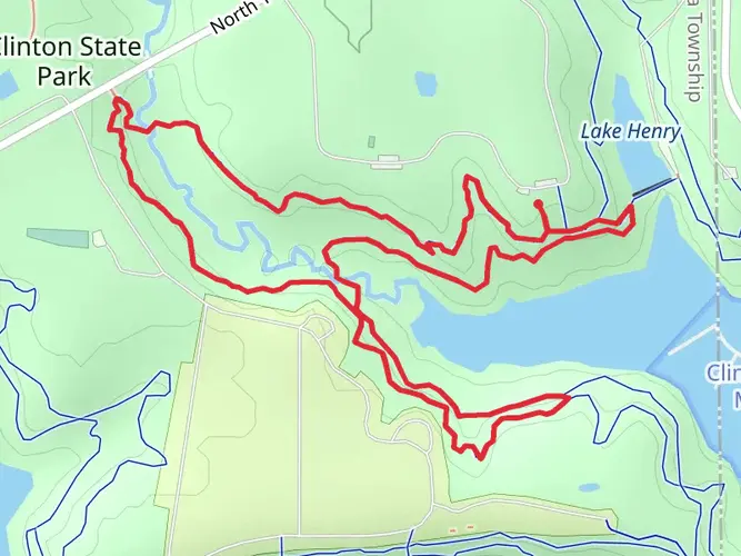
About halfway through the trail, hikers will come across a picturesque bridge that offers a perfect spot for a rest and perhaps a photo opportunity. The trail also passes through several small towns, where hikers can take a break and enjoy local hospitality.
Preparation Tips
Before setting out on the Landon Nature Trail, ensure you have enough water and snacks for the journey, as the trail's length can take several hours to complete. Sun protection is also recommended, as some sections offer little shade. Lastly, always check the weather forecast to avoid any surprises, and inform someone of your hiking plans for safety.
By following these guidelines and being prepared, hikers can look forward to an enjoyable and memorable experience on the Landon Nature Trail.

What to expect?
Activity types
Frequently asked questions
How long is the Landon Nature Trail in Osage County, Kansas?
The Landon Nature Trail is 37.99 kilometers long, which is about 23.6 miles. It is a long, easy rail-trail route in Osage County, so many hikers break it into shorter out-and-back sections rather than walking the full length in one day.
How difficult is the Landon Nature Trail and does the Landon Nature Trail have much elevation gain?
The Landon Nature Trail is rated easy and has only 61 meters of elevation gain across its full 37.99-kilometer length. That very small climb makes it a notably flat route, with a gentle rail-trail profile that suits walkers looking for a low-strain day on the trail.
What is the surface like on the Landon Nature Trail near Overbrook and farther north toward Topeka?
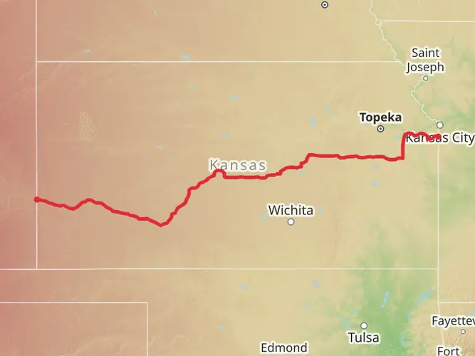
The Landon Nature Trail uses a mix of developed rail-trail surfaces. In and near Topeka, some sections are paved concrete, while farther south the trail changes to crushed stone and gravel, especially beyond SE 45th Street and toward the more rural stretches in Osage County.
Can you bike or ride horses on the Landon Nature Trail, or is the Landon Nature Trail only for hiking?
The Landon Nature Trail is a multi-use rail trail rather than a footpath limited to hikers. Public trail listings and local trail organizations describe it as open to walking and biking, and horseback riders may also be encountered on southern sections past 45th Street, so shared-trail awareness is important.
Where is the best place to start the Landon Nature Trail near Overbrook?
A practical access point for the southern Osage County end is near Overbrook, close to the intersection of W 197th Street and S Shawnee Heights Road. That area gives direct access to the rural trail corridor and is a useful starting point for shorter walks on the flatter southern section.
Is the Landon Nature Trail good for families or beginners?
Yes. The Landon Nature Trail is an easy route with only 61 meters of elevation gain over nearly 38 kilometers, so the grade stays mild. Its rail-trail layout and generally smooth tread make it a strong option for beginners, family groups, and anyone wanting a long but non-technical walk.
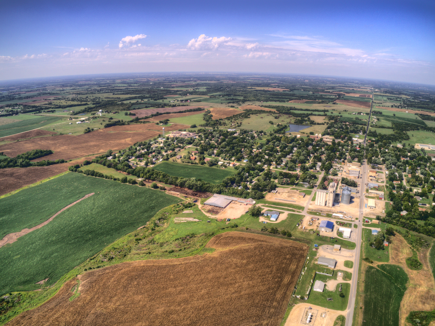
What can you see on the Landon Nature Trail in Osage County?
The Osage County section of the Landon Nature Trail passes through open prairie country, fields, and wooded stretches typical of eastern Kansas. Seasonal wildflowers, birds, deer, and small mammals are commonly associated with the corridor, and the long, straight rail-trail alignment gives broad views across the surrounding landscape.
Comments and Reviews
User comments, reviews and discussions about the Landon Nature Trail, Kansas.
4.38
average rating out of 5
37 rating(s)