Download
Preview
Add to list
More
55.5 km
~3 days
100 m
Multi-Day
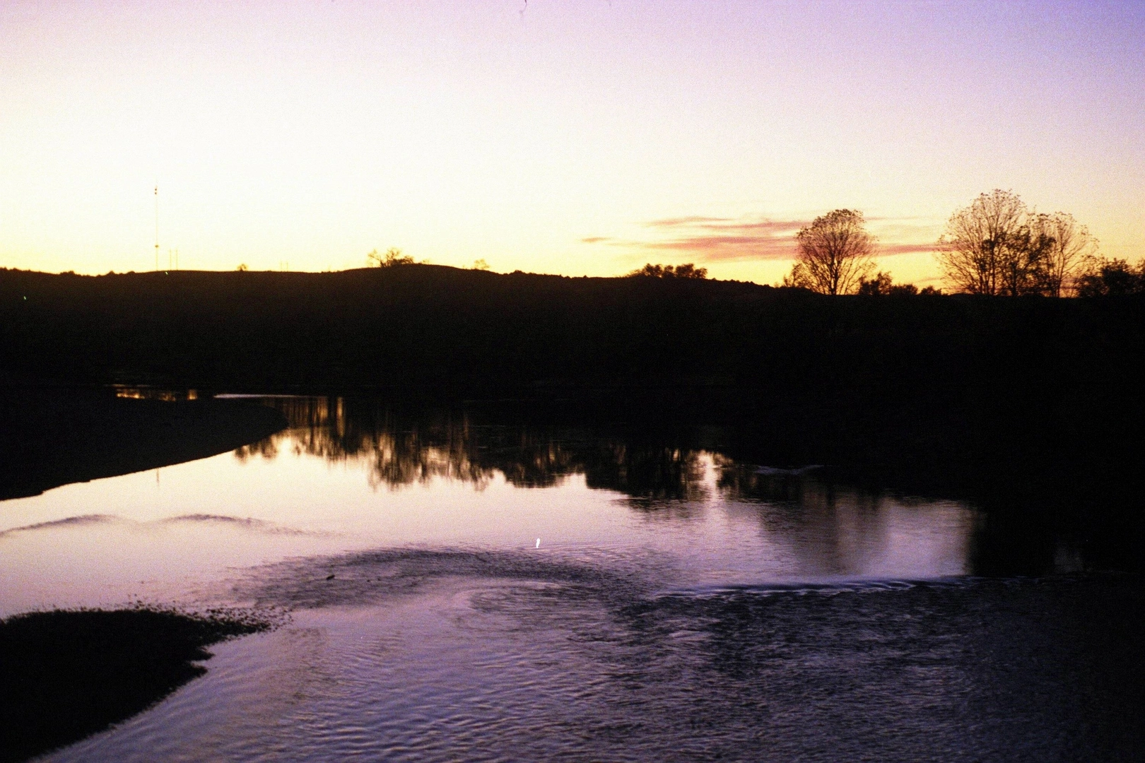
“Explore the Chief Standing Bear Trail, a historical 34-mile journey through Kansas's serene landscapes and rich heritage.”
The Chief Standing Bear and Blue River Rail Trail stretches approximately 55 kilometers (around 34 miles) and boasts a modest elevation gain of roughly 100 meters (about 328 feet), making it an accessible journey for hikers of medium fitness levels. This point-to-point trail begins near Marshall County, Kansas, and offers a rich tapestry of natural beauty and historical significance.
Getting to the Trailhead
To reach the starting point of the trail, hikers can drive to the vicinity of Marshall County, where the trailhead is located. For those relying on public transportation, regional bus services may offer routes close to the area, but it's essential to check the latest schedules and stops. Once in the general vicinity, local taxi services or ride-sharing options can be used to reach the trailhead directly.
Trail Experience
As you embark on the Chief Standing Bear and Blue River Rail Trail, you'll be following the path of the old railway line, which has been repurposed into a scenic hiking route. The trail is well-marked, and hikers can use the HiiKER app for navigation, ensuring they stay on the correct path and can anticipate upcoming changes in terrain or points of interest.
The trail meanders through a variety of landscapes, including lush woodlands, open prairies, and alongside the serene Blue River. The canopy of trees provides ample shade on sunny days, making for a pleasant hike. Wildlife enthusiasts will appreciate the opportunity to spot local fauna such as white-tailed deer, wild turkeys, and a diverse array of bird species.
Historical Significance
This region is steeped in history, with the trail named in honor of Chief Standing Bear, a Ponca Native American leader who fought for the recognition of his people's rights. As you hike, you'll be walking in the footsteps of history, with the opportunity to reflect on the area's rich cultural heritage.
Landmarks and Points of Interest
Approximately halfway through the trail, hikers will encounter the town of Marysville, which serves as a perfect rest stop. Here, you can explore local shops, grab a bite to eat, and learn more about the area's history, including the Pony Express and the Oregon Trail.
The trail's endpoint is near the state line between Kansas and Nebraska, where hikers can arrange for transportation back to their starting point or continue their journey into Nebraska.
Preparation and Planning
Before setting out, ensure you have adequate water and provisions, as the trail's remote sections offer limited access to supplies. Weather conditions can vary, so dress in layers and be prepared for changes in temperature. Sturdy hiking boots are recommended due to the mixed terrain.
Remember to respect the trail and its surroundings by following Leave No Trace principles, keeping the natural environment pristine for future hikers to enjoy.

What to expect?
Activity types
Comments and Reviews
User comments, reviews and discussions about the Chief Standing Bear and Blue River Rail Trail, Kansas.
4.49
average rating out of 5
41 rating(s)