American Discovery Trail - Kansas trail stages
stage 1
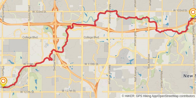
Starting at: Leawood, Johnson County, 66206
Ending at: Overland Park, Johnson County, 66213
Distance: 18.4 km
Elevation gain: 200 m
Duration: 04:01:15
stage 2
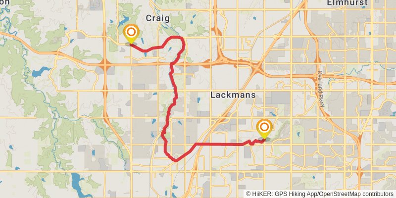
Starting at: Overland Park, Johnson County, 66213
Ending at: Lenexa, Johnson County, 66220
Distance: 18.7 km
Elevation gain: 301 m
Duration: 04:14:51
stage 3
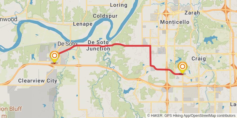
Starting at: Lenexa, Johnson County, 66220
Ending at: De Soto, Johnson County, 66018
Distance: 16.3 km
Elevation gain: 195 m
Duration: 03:34:59
stage 4
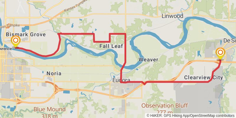
Starting at: De Soto, Johnson County, 66018
Ending at: Lawrence, Douglas County, 66044
Distance: 31.7 km
Elevation gain: 301 m
Duration: 06:49:58
stage 5
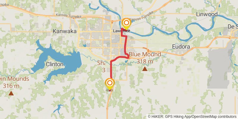
Starting at: Lawrence, Douglas County, 66044
Ending at: Willow Springs, Douglas County, 66046
Distance: 18.4 km
Elevation gain: 134 m
Duration: 03:54:08
stage 6
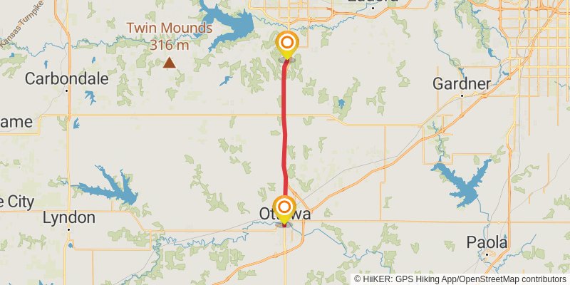
Starting at: Lawrence, Douglas County, 66047
Ending at: Ottawa, Franklin County, 66067
Distance: 27.9 km
Elevation gain: 214 m
Duration: 05:56:22
stage 7
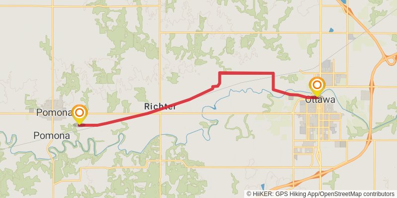
Starting at: Ottawa, Franklin County, 66067
Ending at: Pomona, Franklin County, 66076
Distance: 18.2 km
Elevation gain: 58 m
Duration: 03:44:29
stage 8
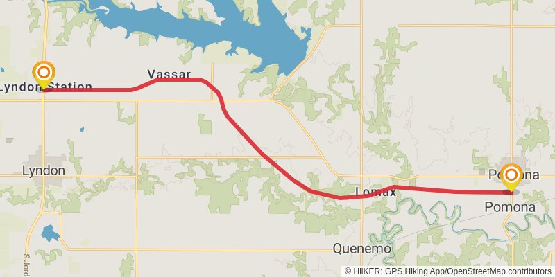
Starting at: Pomona Township, Franklin County, 66076
Ending at: Valley Brook, Osage County, 66451
Distance: 22.5 km
Elevation gain: 92 m
Duration: 04:39:38
stage 9
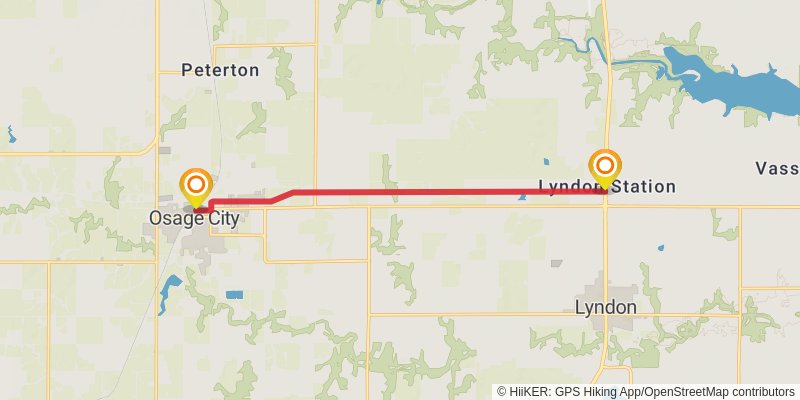
Starting at: Lyndon, Osage County, 66451
Ending at: Osage City, Osage County, 66523
Distance: 12.6 km
Elevation gain: 14 m
Duration: 02:32:03
stage 10
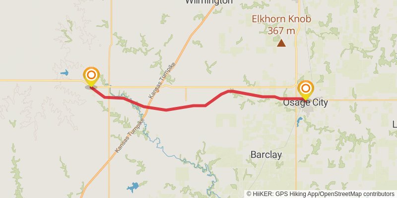
Starting at: Osage City, Osage County, 66523
Ending at: Ivy, Lyon County, 66833
Distance: 28.0 km
Elevation gain: 129 m
Duration: 05:48:18
stage 11
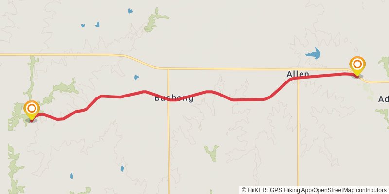
Starting at: Allen, Lyon County, 66833
Ending at: Grove, Lyon County, 66846
Distance: 21.5 km
Elevation gain: 123 m
Duration: 04:30:38
stage 12
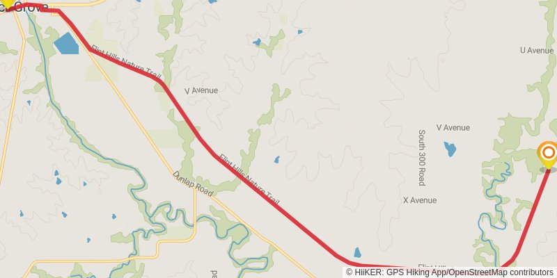
Starting at: Bushong, Lyon County, 66846
Ending at: Grove, Morris County, 66846
Distance: 15.3 km
Elevation gain: 46 m
Duration: 03:08:15
stage 13
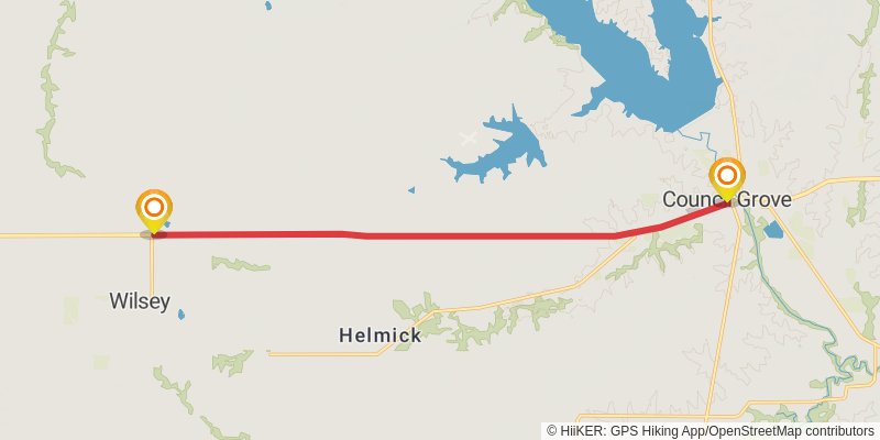
Starting at: Grove, Morris County, 66846
Ending at: , Morris County, 66873
Distance: 15.8 km
Elevation gain: 136 m
Duration: 03:22:48
stage 14
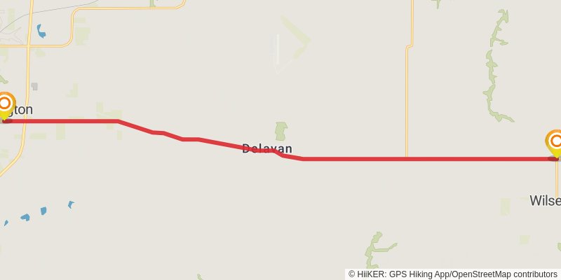
Starting at: Township, Morris County, 66873
Ending at: Herington, Dickinson County, 67449
Distance: 23.8 km
Elevation gain: 74 m
Duration: 04:53:10
stage 15
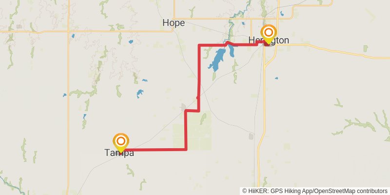
Starting at: Herington, Morris County, 67449
Ending at: Tampa, Marion County, 67483
Distance: 32.8 km
Elevation gain: 187 m
Duration: 06:52:51
stage 16
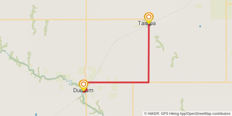
Starting at: Tampa, Marion County, 67483
Ending at: Durham, Marion County, 67438
Distance: 13.7 km
Elevation gain: 55 m
Duration: 02:49:42
stage 17
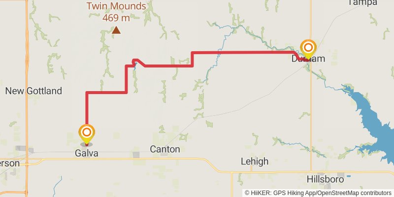
Starting at: Durham, Marion County, 67438
Ending at: Galva, McPherson County, 67443
Distance: 39.7 km
Elevation gain: 339 m
Duration: 08:30:16
stage 18
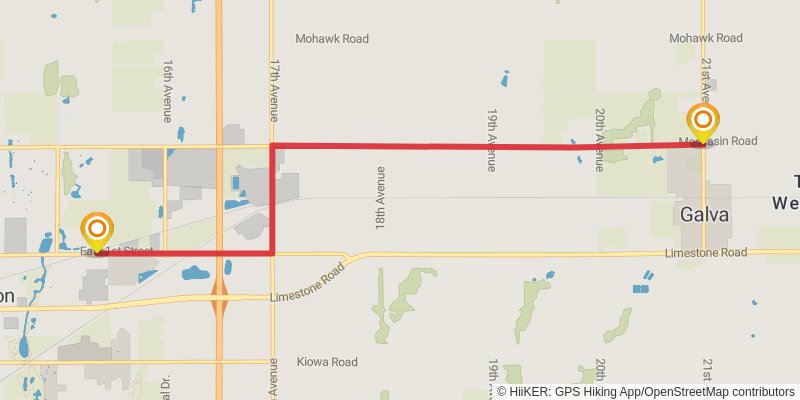
Starting at: Galva, McPherson County, 67443
Ending at: Mcpherson, McPherson County, 67460
Distance: 10.8 km
Elevation gain: 23 m
Duration: 02:11:34
stage 19
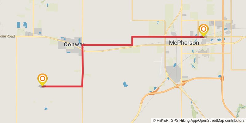
Starting at: Mcpherson, McPherson County, 67460
Ending at: Hayes, McPherson County, 67460
Distance: 21.4 km
Elevation gain: 76 m
Duration: 04:24:47
stage 20
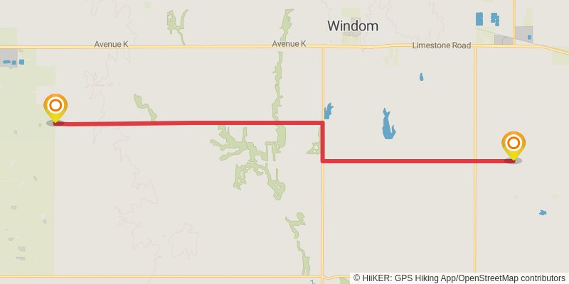
Starting at: Hayes Township, McPherson County, 67460
Ending at: Lyons, Rice County, 67554
Distance: 21.5 km
Elevation gain: 133 m
Duration: 04:31:43
stage 21
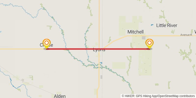
Starting at: Lyons, Rice County, 67554
Ending at: Center, Rice County, 67524
Distance: 25.3 km
Elevation gain: 109 m
Duration: 05:14:19
stage 22
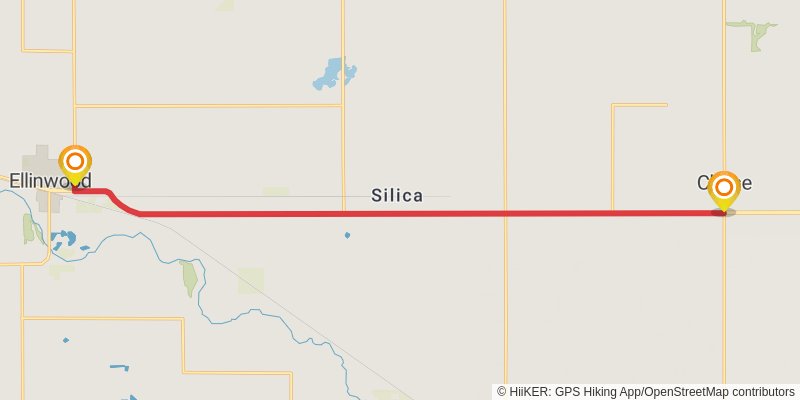
Starting at: Center Township, Rice County, 67524
Ending at: Ellinwood, Barton County, 67526
Distance: 19.9 km
Elevation gain: 42 m
Duration: 04:03:30
stage 23
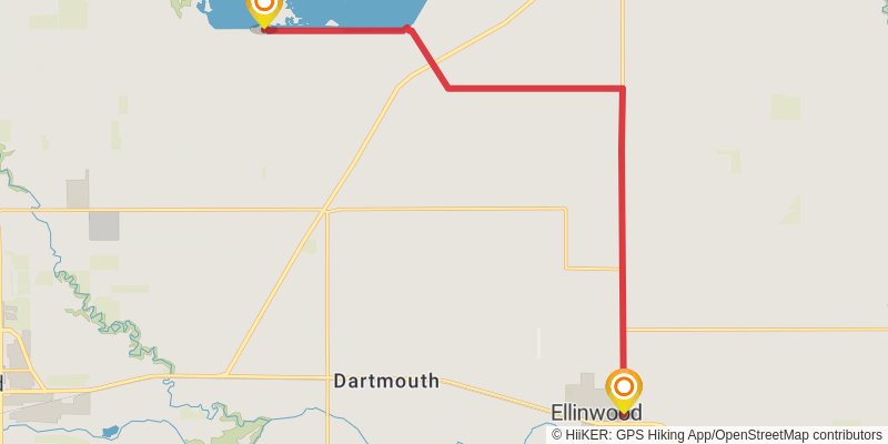
Starting at: Ellinwood, Barton County, 67526
Ending at: Hoisington, Barton County, 67544
Distance: 21.0 km
Elevation gain: 35 m
Duration: 04:15:24
stage 24
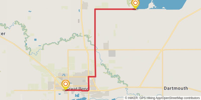
Starting at: Hoisington, Barton County, 67544
Ending at: Great Bend, Barton County, 67530
Distance: 18.2 km
Elevation gain: 45 m
Duration: 03:43:07
stage 25
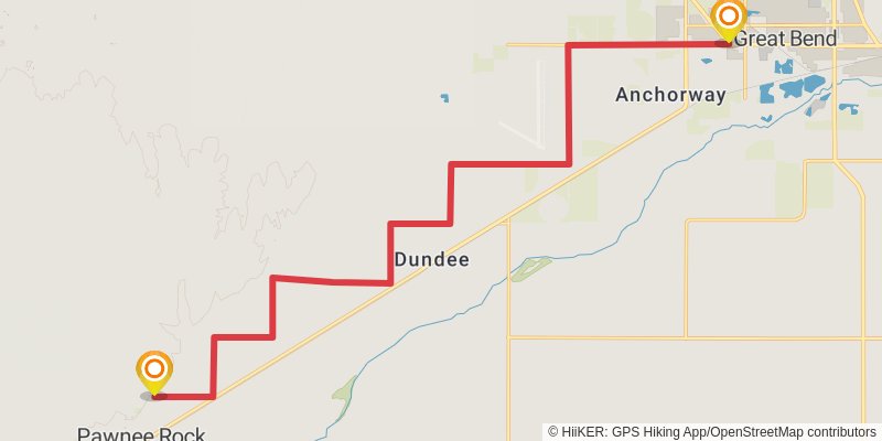
Starting at: Great Bend, Barton County, 67530
Ending at: Pawnee Rock, Barton County, 67567
Distance: 25.7 km
Elevation gain: 52 m
Duration: 05:13:35
stage 26
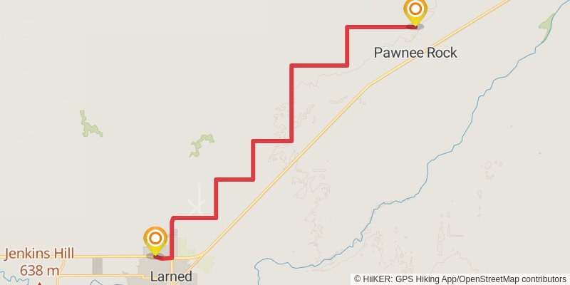
Starting at: Pawnee Rock Township, Barton County, 67567
Ending at: Larned, Pawnee County, 67550
Distance: 20.7 km
Elevation gain: 61 m
Duration: 04:14:32
stage 27
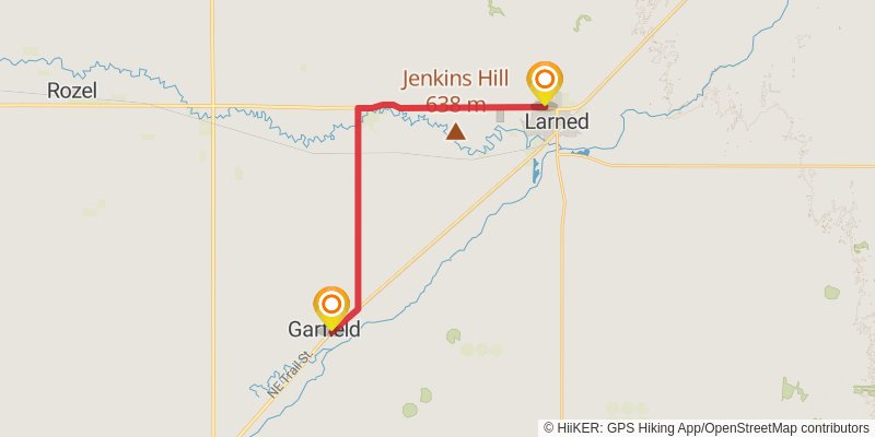
Starting at: Larned, Pawnee County, 67550
Ending at: Garfield, Pawnee County, 67529
Distance: 23.4 km
Elevation gain: 83 m
Duration: 04:48:32
stage 28
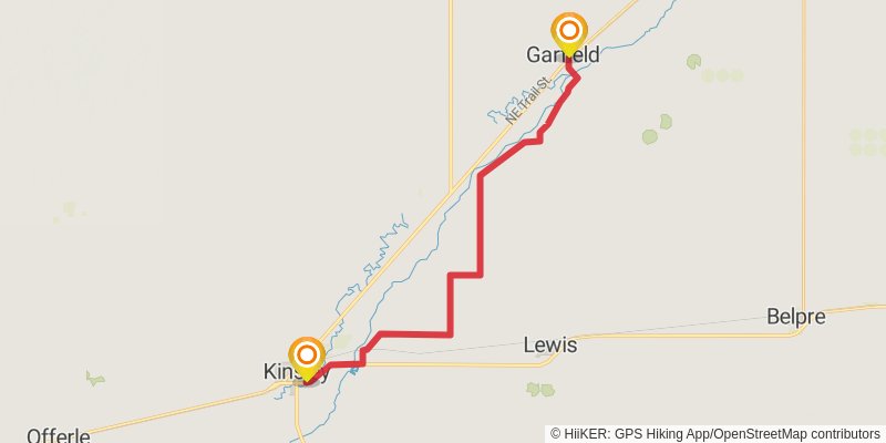
Starting at: Garfield, Pawnee County, 67529
Ending at: Kinsley, Edwards County, 67547
Distance: 29.0 km
Elevation gain: 70 m
Duration: 05:55:09
stage 29
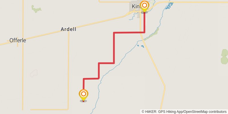
Starting at: Kinsley, Edwards County, 67547
Ending at: Offerle, Edwards County, 67563
Distance: 16.5 km
Elevation gain: 19 m
Duration: 03:19:56
stage 30
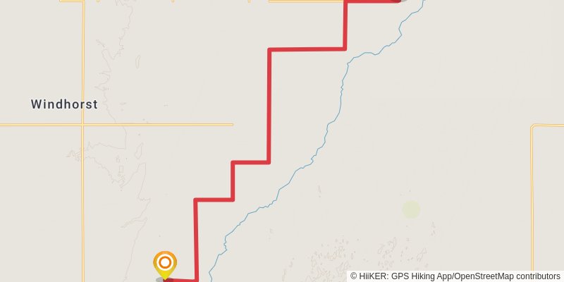
Starting at: Trenton Township, Edwards County, 67563
Ending at: Bucklin, Ford County, 67834
Distance: 22.4 km
Elevation gain: 25 m
Duration: 04:30:45