Download
3D Flyover
Add to list
More
1891.8 km
~101 days
135395 m
Multi-Day
“Embark on the epic Via Alpina - Red Trail, a fusion of alpine grandeur, cultural tapestry, and historic intrigue.”
Embarking on the Via Alpina - Red Trail is a journey through the heart of the European Alps, traversing eight countries and showcasing the region's immense natural beauty, cultural diversity, and historical richness. This extensive trek, covering approximately 1892 kilometers (about 1176 miles) with an elevation gain of around 135,300 meters (approximately 443,900 feet), is a challenging adventure designed for experienced hikers.
Getting to the Trailhead
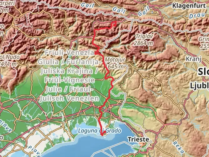
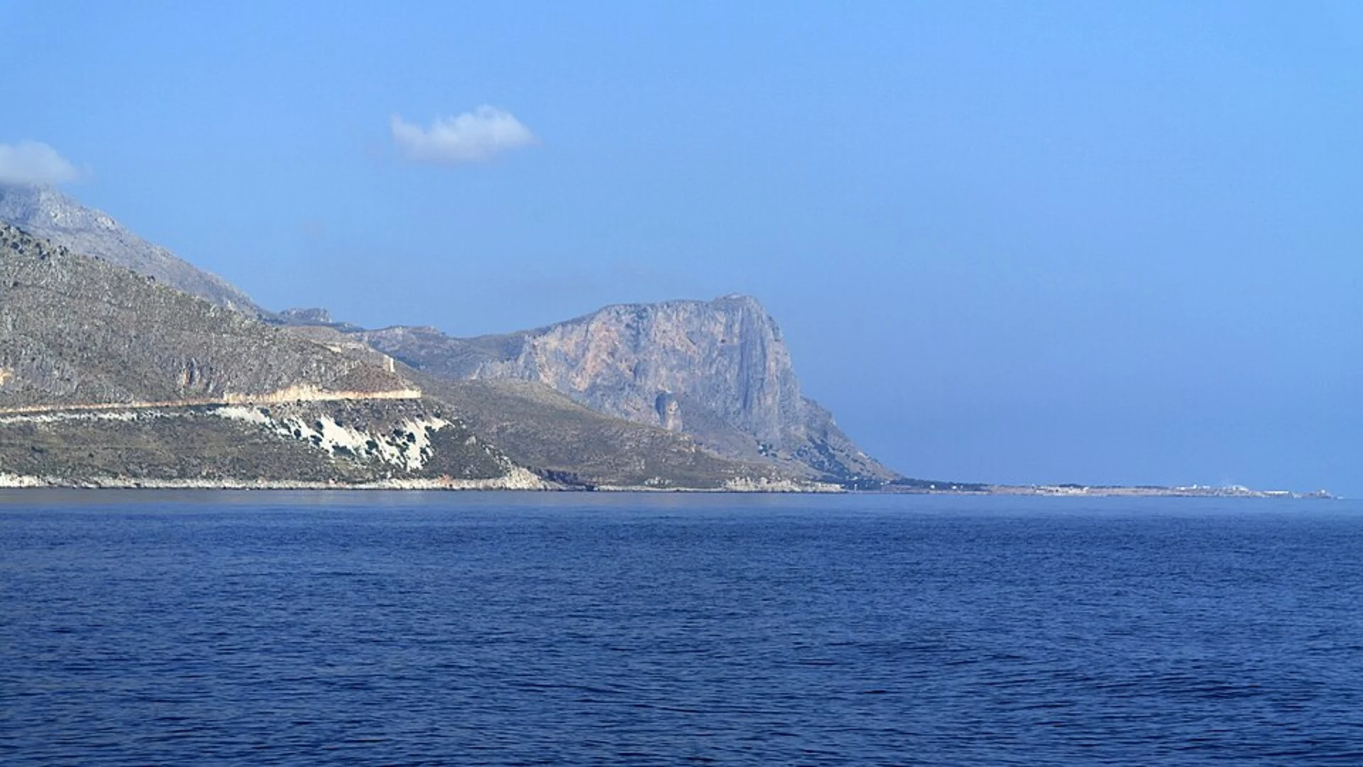
The trail begins near Muggia, Italy, a small town located on the Adriatic coast. To reach the starting point, travelers can fly into Trieste Airport and take public transportation or drive to Muggia. From Trieste, buses run regularly to Muggia, where the trailhead is easily accessible.
The Journey Through the Alps
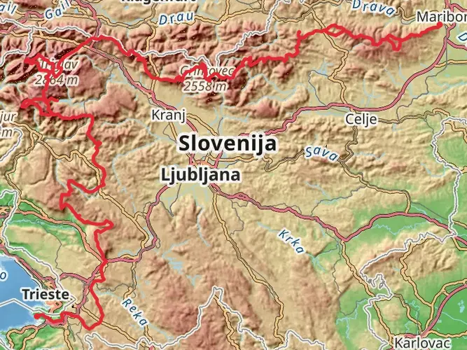
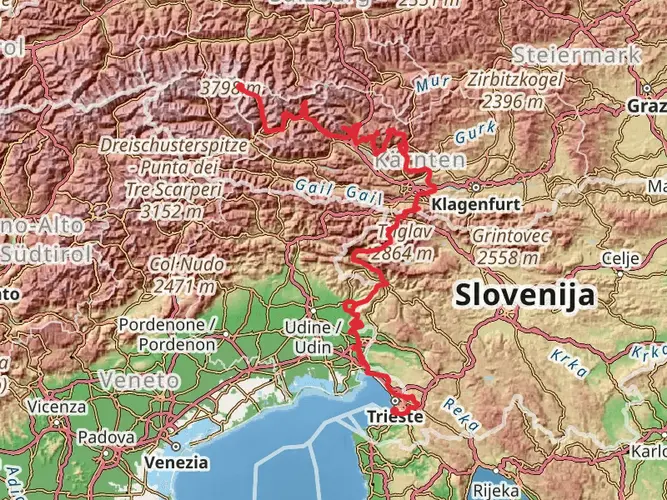
As you set out from Muggia, the trail immediately immerses you in the Italian landscape, with its rolling hills and coastal views. The path then leads northward into Slovenia, where the terrain becomes more mountainous, offering hikers the first taste of the alpine environment.
Crossing into Austria, the trail passes through the picturesque Austrian Alps, with their idyllic valleys and traditional alpine villages. Hikers will encounter a significant elevation gain as they navigate through this region, with some of the most breathtaking vistas the trail has to offer.
Cultural and Historical Landmarks
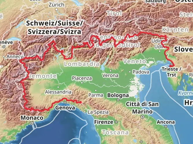
The Via Alpina - Red Trail is not only a physical challenge but also a journey through Europe's history. As the path winds through Germany, Liechtenstein, Switzerland, and France before reaching its final destination in Monaco, hikers will pass numerous historical sites, including medieval castles, World War I battlefields, and ancient trade routes. These landmarks provide a unique opportunity to learn about the historical events that have shaped the region.
Flora and Fauna
The diverse ecosystems along the Via Alpina are home to a wide variety of wildlife, including chamois, ibex, and marmots. The trail also offers a chance to see a range of flora, from the Mediterranean vegetation near the start of the trail to the alpine flowers found at higher elevations.
Navigation and Preparation
Given the trail's length and complexity, thorough preparation is essential. Hikers should equip themselves with detailed maps and a reliable navigation tool like HiiKER, which can provide up-to-date information on the trail's route, waypoints, and nearby facilities. It's also crucial to plan for resupply points and accommodation, as the trail passes through both remote areas and bustling towns.
Weather and Safety
The weather in the Alps can be unpredictable, and hikers should be prepared for sudden changes in conditions, especially at higher elevations. It's important to carry appropriate gear for both warm and cold weather and to be aware of the signs of altitude sickness.
Conclusion
The Via Alpina - Red Trail is a once-in-a-lifetime experience for avid hikers. Its combination of natural beauty, cultural encounters, and historical insights make it a comprehensive adventure through the European Alps. With proper preparation and respect for the trail's challenges, hikers will find this journey to be an unforgettable exploration of one of the world's most iconic mountain ranges.

Comments and Reviews
User comments, reviews and discussions about the Via Alpina - Red Trail, Italy.
4.86
average rating out of 5
7 rating(s)