Sentiero Italia - Alps Section trail stages
stage 61
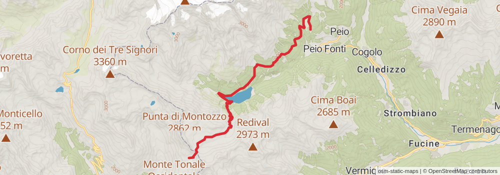
Starting at: Peio Fonti, Provincia di Trento, 38024
Distance: 16.3 km
Elevation gain: 1573 m
Duration: 05:52:49
stage 62
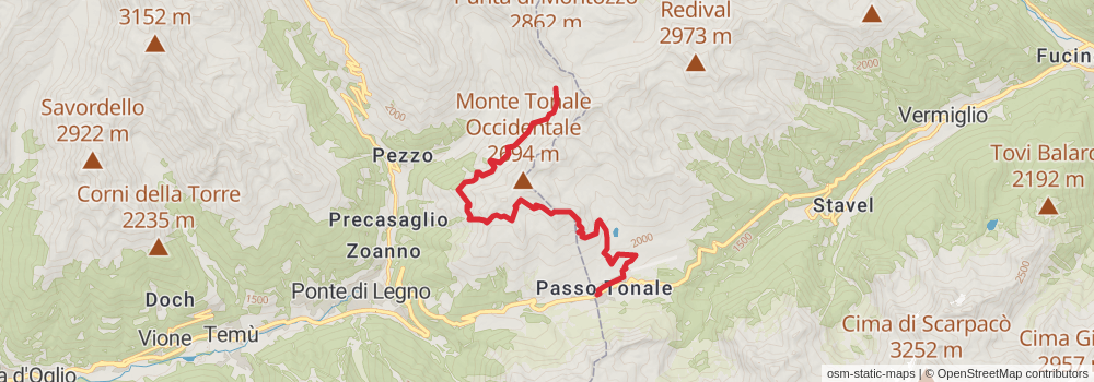
Distance: 13.9 km
Elevation gain: 746 m
Duration: 04:01:53
stage 63
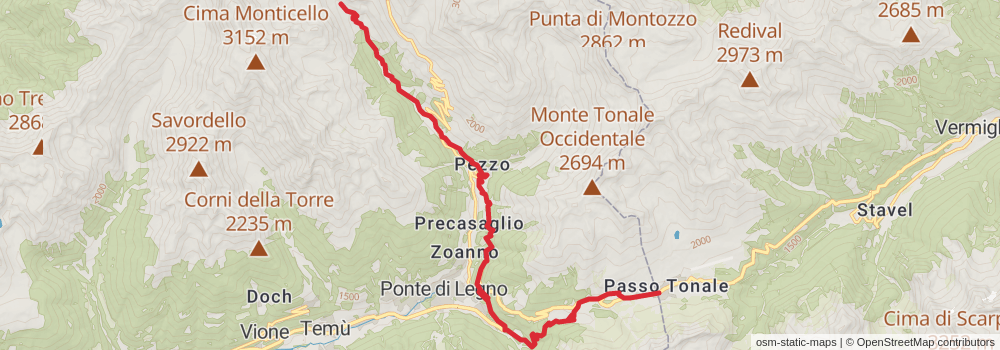
Distance: 19.0 km
Elevation gain: 1067 m
Duration: 05:34:15
stage 64
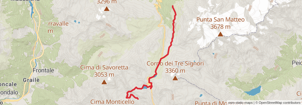
Starting at: Rifugio Valmalza, Ponte di Legno, Brescia, 25056
Ending at: Alpe di Tresero, Valfurva, Sondrio, 23030
Distance: 14.0 km
Elevation gain: 1117 m
Duration: 04:39:18
stage 65
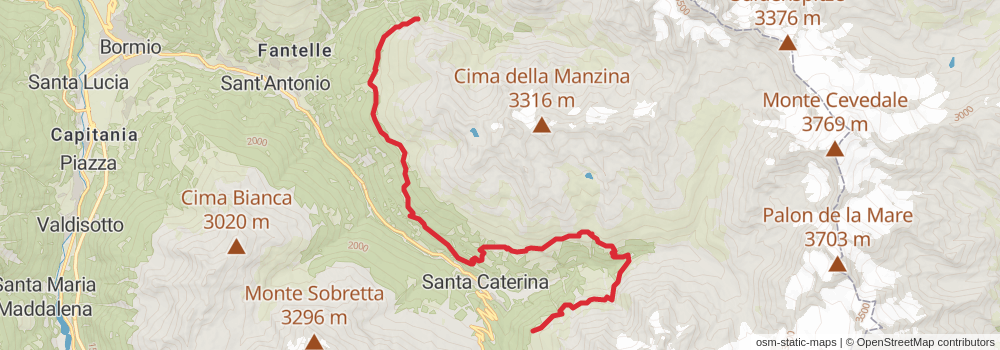
Starting at: Alpe di Tresero, Valfurva, Sondrio, 23030
Distance: 18.9 km
Elevation gain: 1501 m
Duration: 06:16:56
stage 66

Starting at: Nuovo Bivacco Costantini, Valfurva, Sondrio, 23030
Ending at: Ristoro Zebrù, Valfurva, Sondrio, 23030
Distance: 8.3 km
Elevation gain: 266 m
Duration: 02:05:51
stage 67
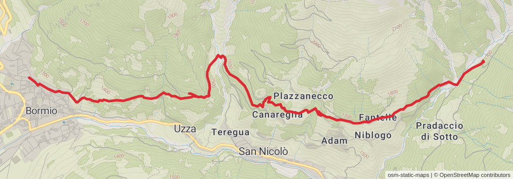
Starting at: Ristoro Zebrù, Valfurva, Sondrio, 23030
Ending at: Buglio, Bormio, Sondrio, 23032
Distance: 8.2 km
Elevation gain: 347 m
Duration: 02:12:58
stage 68
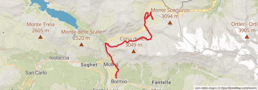
Starting at: Buglio, Bormio, Sondrio, 23032
Ending at: Stall, Bormio, Sondrio
Distance: 16.4 km
Elevation gain: 1970 m
Duration: 06:33:27
stage 69
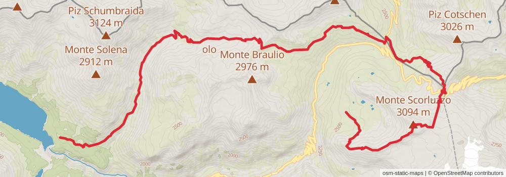
Starting at: Stall, Bormio, Sondrio
Ending at: Ristoro Solena, Valdidentro, Sondrio, 23038
Distance: 21.3 km
Elevation gain: 1260 m
Duration: 06:21:33
stage 70
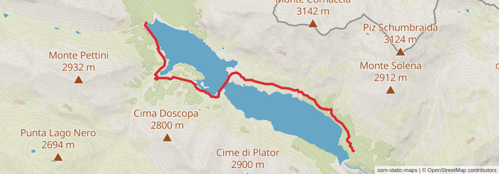
Starting at: Valdidentro, Sondrio, 23038
Ending at: Valdidentro, Sondrio, 23038
Distance: 9.0 km
Elevation gain: 361 m
Duration: 02:24:10
stage 71
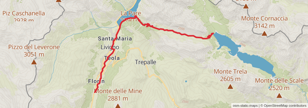
Starting at: Valdidentro, Sondrio, 23038
Ending at: P 14, Livigno, Sondrio, 23041
Distance: 18.2 km
Elevation gain: 683 m
Duration: 04:46:07
stage 72
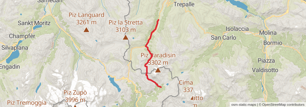
Starting at: P 14, Livigno, Sondrio, 23041
Ending at: Lagh da Saoseo, Poschiavo, Bernina
Distance: 15.7 km
Elevation gain: 963 m
Duration: 04:44:26
stage 73
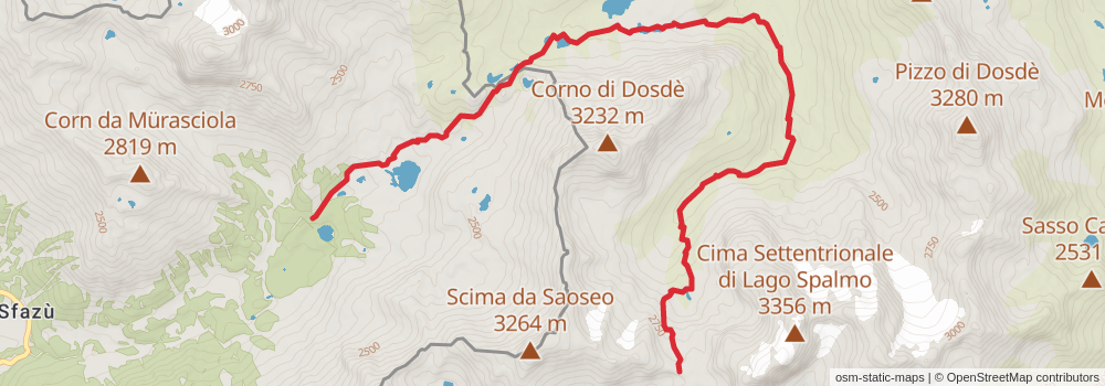
Starting at: Lagh da Saoseo, Poschiavo, Bernina
Ending at: Capanna Dosdè, Valdidentro, Sondrio, 23038
Distance: 13.0 km
Elevation gain: 1127 m
Duration: 04:28:38
stage 74
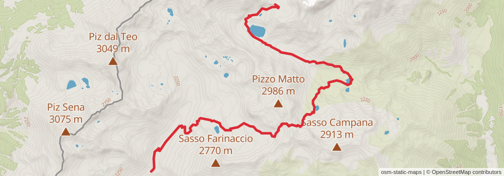
Starting at: Capanna Dosdè, Valdidentro, Sondrio, 23038
Ending at: Malghera, Grosio, Sondrio, 23033
Distance: 13.6 km
Elevation gain: 685 m
Duration: 03:51:47
stage 75
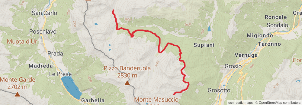
Starting at: Malghera, Grosio, Sondrio, 23033
Ending at: Alpe Salina, Vervio, Sondrio, 23034
Distance: 16.8 km
Elevation gain: 992 m
Duration: 05:00:56
stage 76
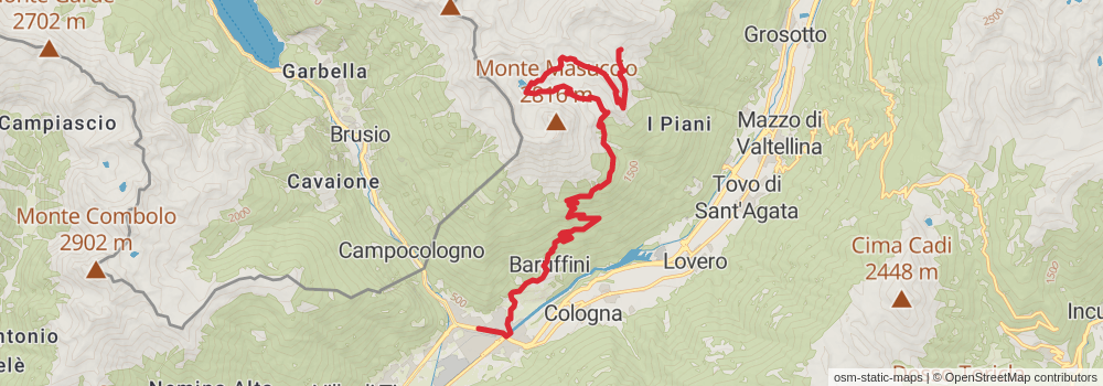
Starting at: Alpe Salina, Vervio, Sondrio, 23034
Ending at: Giovanna e Lara, Tirano, Sondrio, 23037
Distance: 19.7 km
Elevation gain: 741 m
Duration: 05:10:21
stage 77
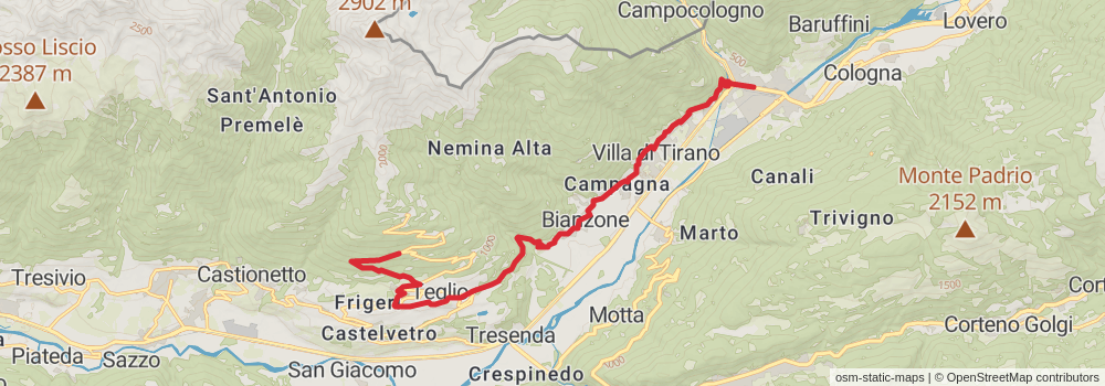
Starting at: Eurobet, Tirano, Sondrio, 23037
Ending at: Teglio, Sondrio, 23036
Distance: 17.3 km
Elevation gain: 1425 m
Duration: 05:49:42
stage 78
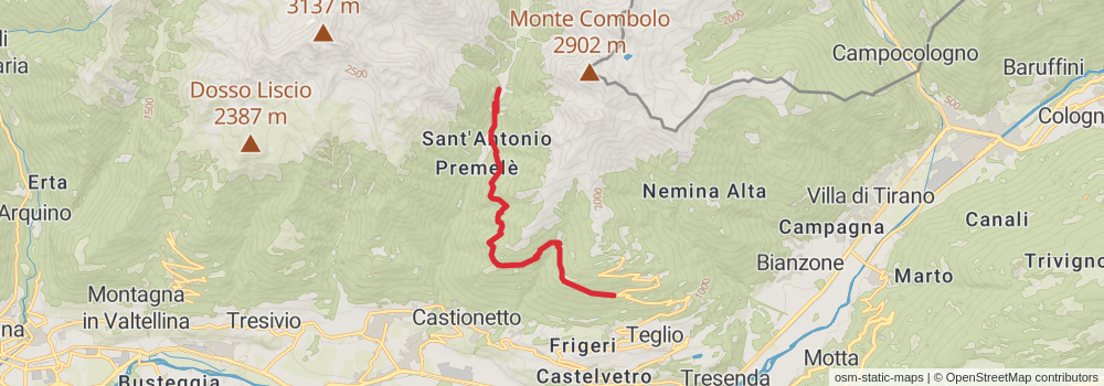
Starting at: Teglio, Sondrio, 23036
Ending at: Campello, Chiuro, Sondrio, 23030
Distance: 9.7 km
Elevation gain: 921 m
Duration: 03:28:34
stage 79

Starting at: Campello, Chiuro, Sondrio, 23030
Distance: 8.6 km
Elevation gain: 1252 m
Duration: 03:49:00
stage 80
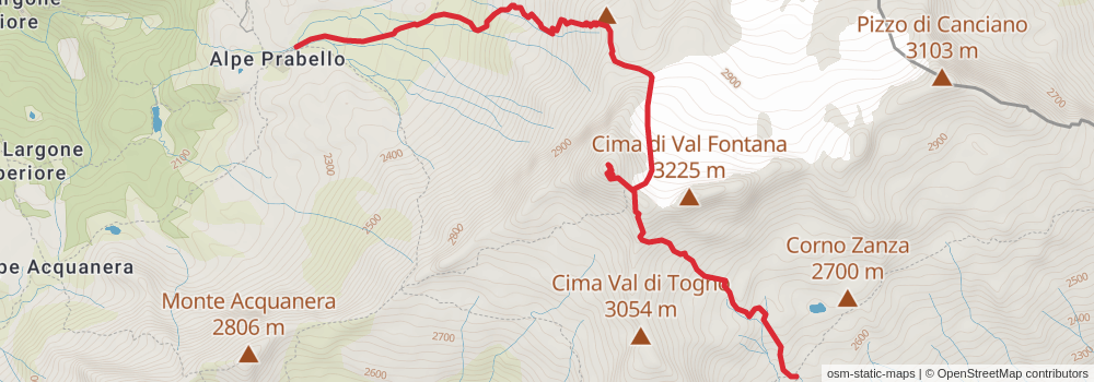
Starting at: Capanna Cederna-Maffina, Chiuro, Sondrio, 23030
Ending at: Lanzada, Sondrio, 23020
Distance: 6.1 km
Elevation gain: 731 m
Duration: 02:25:59
stage 81
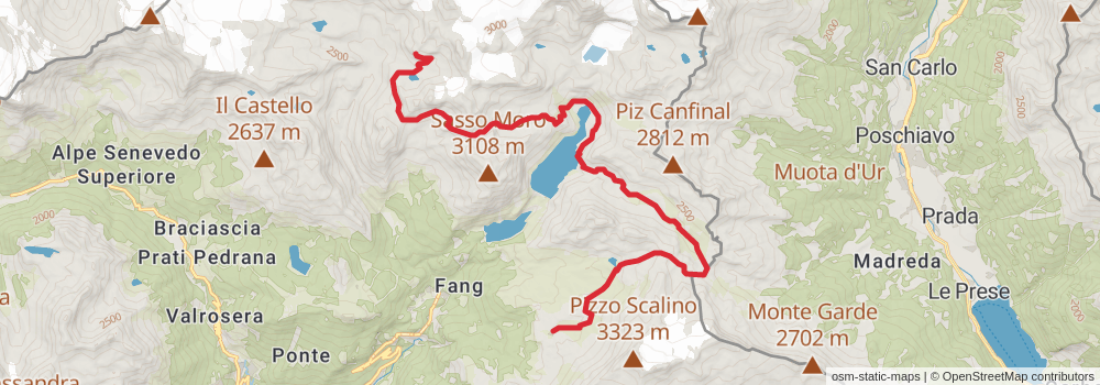
Starting at: Lanzada, Sondrio, 23020
Ending at: Lanzada, Sondrio, 23020
Distance: 20.6 km
Elevation gain: 1656 m
Duration: 06:52:32
stage 82
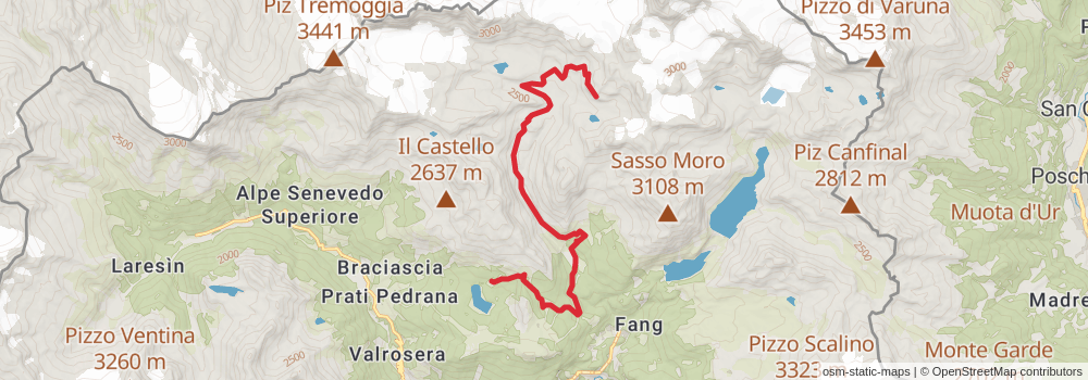
Ending at: Chiesa in Valmalenco, Sondrio, 23020
Distance: 14.5 km
Elevation gain: 715 m
Duration: 04:05:40
stage 83
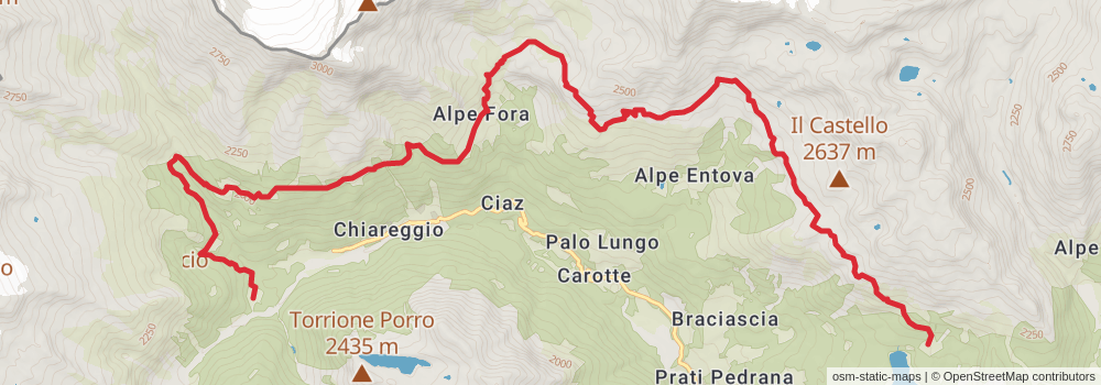
Starting at: Chiesa in Valmalenco, Sondrio, 23020
Ending at: Chiesa in Valmalenco, Sondrio, 23023
Distance: 17.4 km
Elevation gain: 1334 m
Duration: 05:42:02
stage 84
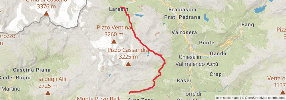
Starting at: Chiesa in Valmalenco, Sondrio, 23023
Ending at: Torre di Santa Maria, Sondrio, 23020
Distance: 13.5 km
Elevation gain: 1650 m
Duration: 05:26:34
stage 85
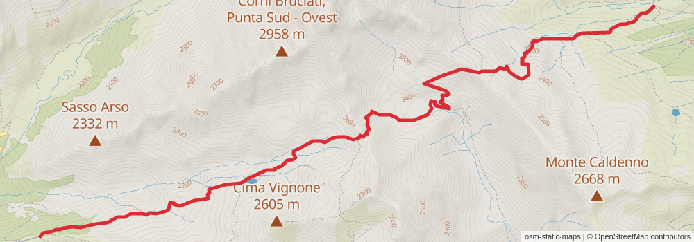
Starting at: Torre di Santa Maria, Sondrio, 23020
Distance: 8.3 km
Elevation gain: 814 m
Duration: 03:01:21
stage 86
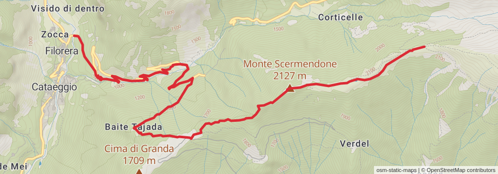
Starting at: Bivacco Scermendone, Buglio in Monte, Sondrio, 23010
Ending at: Visido di fuori, Val Masino, Sondrio, 23010
Distance: 9.2 km
Elevation gain: 125 m
Duration: 02:02:21
stage 87

Starting at: Zocca, Val Masino, Sondrio, 23010
Distance: 15.6 km
Elevation gain: 2172 m
Duration: 06:44:05
stage 88
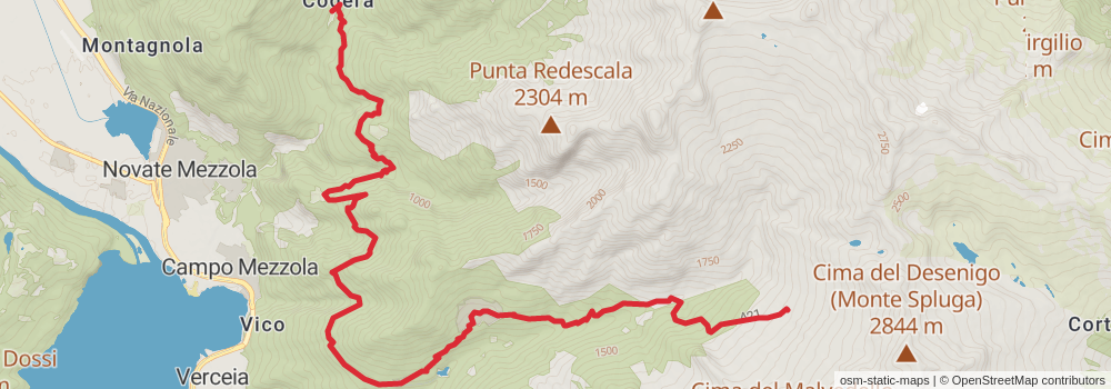
Starting at: Bivacco Primàlpia, Novate Mezzola, Sondrio, 23025
Distance: 14.9 km
Elevation gain: 1222 m
Duration: 05:01:10
stage 89
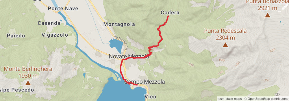
Starting at: Museo Storico Etnografico Naturalistico della Val Codera, Novate Mezzola, Sondrio, 23025
Ending at: El Ranchero, Campo Mezzola, Sondrio, 23025
Distance: 6.6 km
Elevation gain: 405 m
Duration: 01:59:14
stage 90
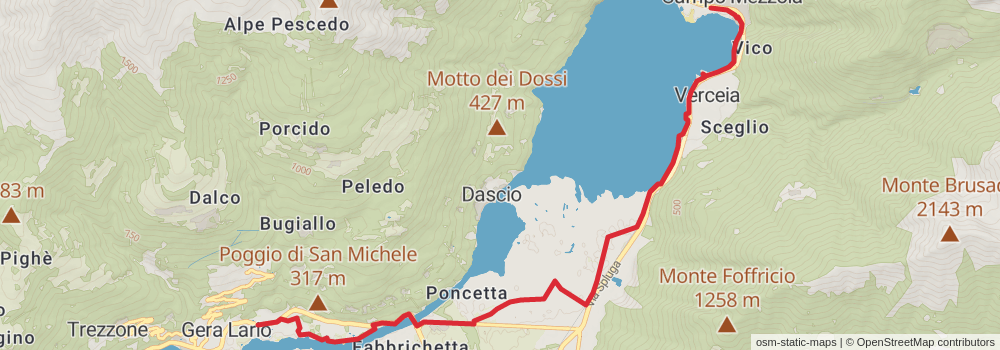
Starting at: Campo Mezzola, Sondrio, 23025
Distance: 10.6 km
Elevation gain: 175 m
Duration: 02:24:53