Download
3D Flyover
Add to list
More
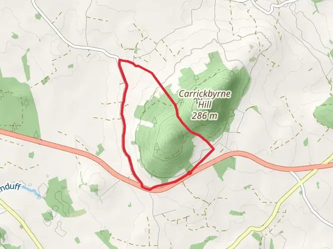
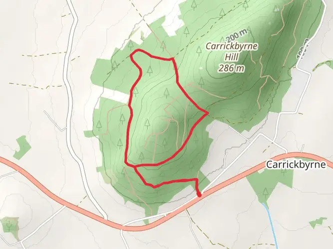
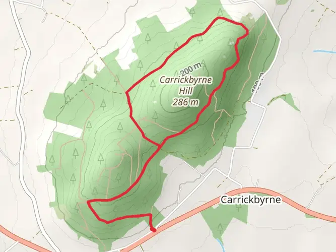
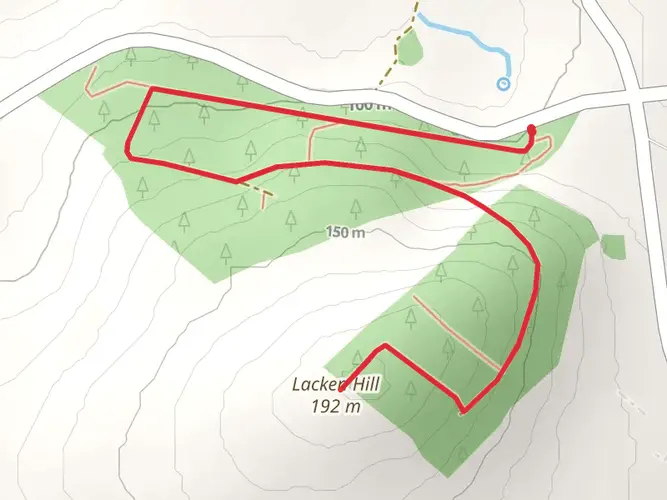
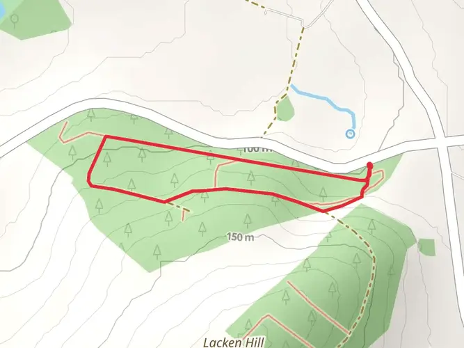
Trail length
4.9 km
Time
~1 hrs 8 min
Elevation Gain
100 m
Hike Type
Loop
The Carrickbyrne Hill - Blue Loop is a 4.9 km looped trail that starts and ends in , County Wexford, Ireland. Based on our data, the hike is graded as Easy. For information on how we grade trails, please read measuring the difficulty of a hiking trail on hiiker. Also, check our latest community posts for trail updates. This hike can be completed in approx 1 hrs 9 mins. Caution is advised on trail times as this depends on multiple variables. For more info read about how we calculate hike time.

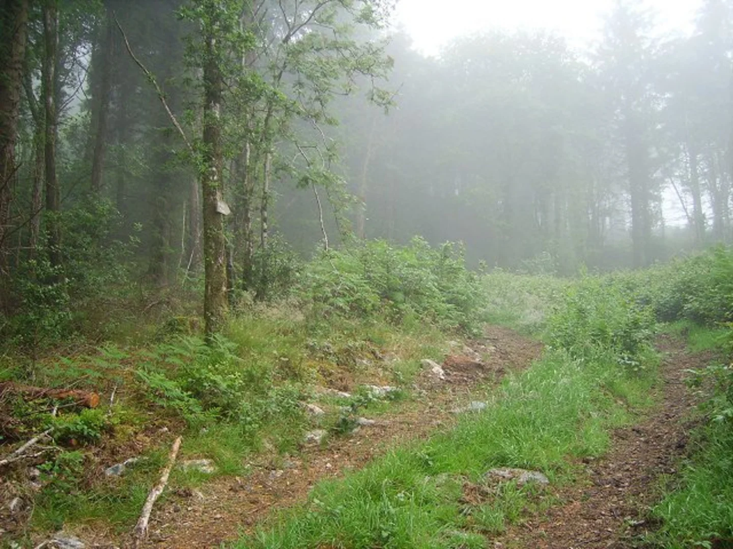
What to expect?
dog-friendly
Activity types
nature-trips
Comments and Reviews
User comments, reviews and discussions about the Carrickbyrne Hill - Blue Loop, Ireland.
4.52
average rating out of 5
27 rating(s)