Download
3D Flyover
Add to list
More
116.1 km
~5 days
2067 m
Multi-Day
“Follow in St. Declan’s footsteps through emerald hills, ancient ruins, and vibrant villages to the Atlantic’s edge.”
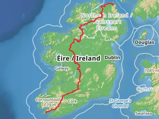
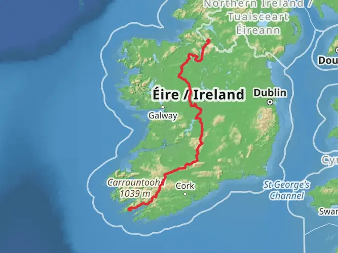
Starting near the historic village of Cashel in County Tipperary, Ireland, this 116 km (about 72 miles) point-to-point pilgrimage route traces the footsteps of St. Declan, one of Ireland’s earliest Christian missionaries. The trail winds its way south to the coastal town of Ardmore in County Waterford, offering a blend of rolling countryside, ancient ruins, and vibrant rural communities. With a total elevation gain of approximately 2,100 metres (about 6,890 feet), hikers should be prepared for a moderately challenging journey that typically takes 4–6 days to complete.
Getting There
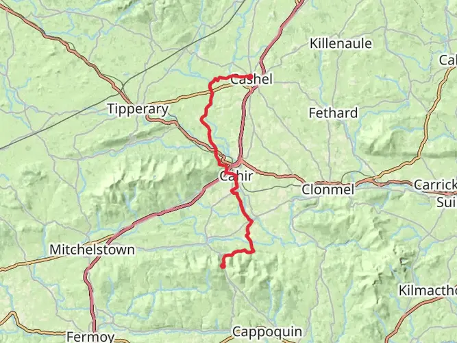
The trailhead is easily accessed from Cashel, a town well-served by public transport. Buses from Dublin, Cork, and Limerick regularly stop at Cashel, and the nearest train station is in Thurles, about 20 km (12 miles) away, with taxi or bus connections available. For those arriving by car, parking is available in Cashel, particularly near the Rock of Cashel, a prominent landmark and the unofficial starting point for many hikers.
Route Overview and Terrain
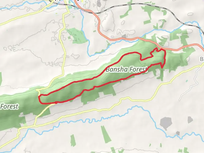
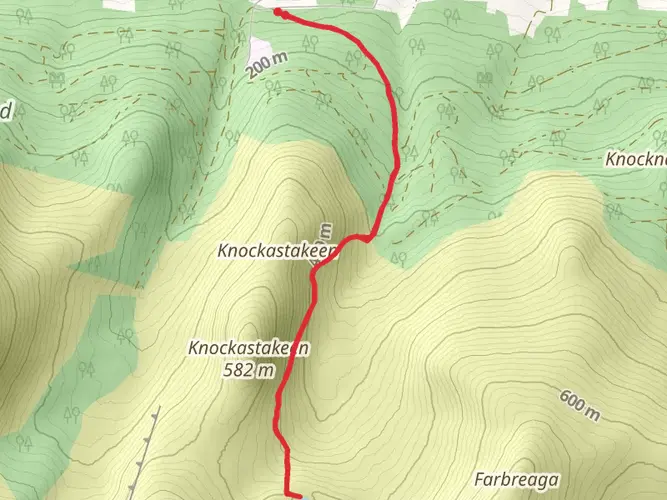
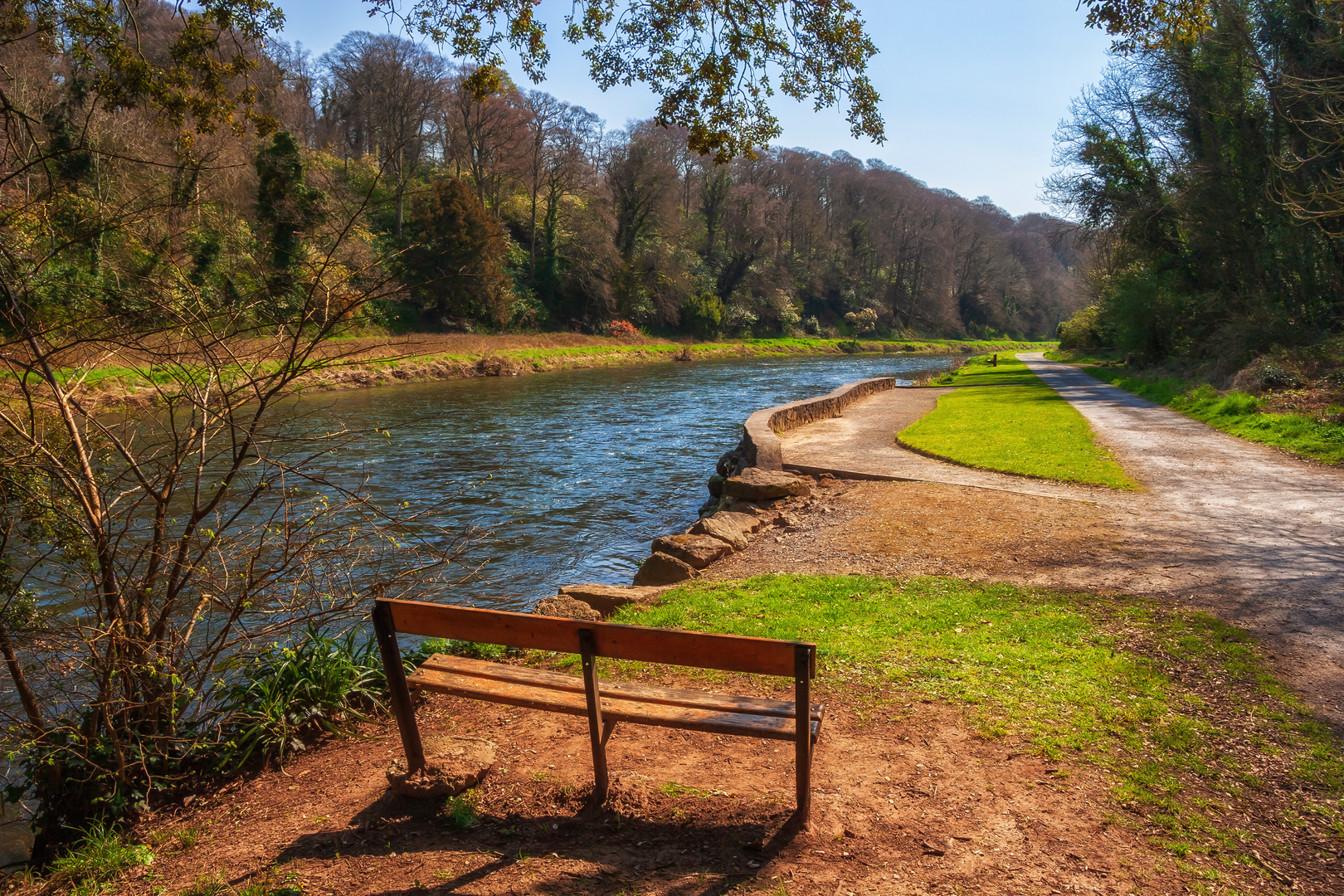
The route traverses a patchwork of quiet country lanes, forest tracks, farmland, and open moorland. Expect a mix of gentle rolling hills and a few steeper ascents, especially as you cross the Knockmealdown Mountains, the highest point of the trail at around 530 metres (1,740 feet) above sea level. The path is generally well-marked, but carrying a reliable navigation tool like HiiKER is recommended, especially in remote sections where signage may be sparse.
Historical and Cultural Highlights
The journey begins at the Rock of Cashel, a spectacular limestone outcrop crowned with medieval buildings, once the seat of the Kings of Munster. As you progress, you’ll pass through Cahir, home to one of Ireland’s best-preserved castles, and the picturesque village of Ardfinnan, with its 12th-century castle and ancient bridge spanning the River Suir.
Midway, the trail ascends the Knockmealdown Mountains, offering panoramic views across the Golden Vale and into County Waterford. This section is steeped in history, with ancient monastic sites and holy wells dotting the landscape. The descent brings you to Mount Melleray Abbey, a working Cistercian monastery that welcomes visitors.
Nature and Wildlife
The route is rich in biodiversity, especially in the upland and woodland sections. Look out for red deer, foxes, and a variety of birdlife, including kestrels and skylarks. In spring and summer, wildflowers such as bluebells and primroses carpet the hedgerows and forest floors. The rivers and streams along the way are home to otters and brown trout, while the Knockmealdown Mountains provide habitat for rare upland flora.
Final Stretch to Ardmore
The final leg leads through lush farmland and coastal scenery, culminating at the early Christian monastic site of Ardmore. Here, the iconic round tower and the ruins of St. Declan’s Cathedral overlook the Atlantic Ocean, marking the end of the pilgrimage. Ardmore’s sandy beach and cliff walks offer a fitting reward for completing the journey.
Preparation and Logistics
Accommodation options range from B&Bs and guesthouses in the larger towns to hostels and small hotels. Wild camping is possible in some upland areas, but always seek landowner permission. Weather in this region can be unpredictable, so pack for rain and variable temperatures. Water sources are available in most villages, but carrying sufficient supplies for remote sections is advisable. The trail is best hiked from late spring to early autumn for optimal conditions.

What to expect?
Activity types
Comments and Reviews
User comments, reviews and discussions about the St Declan's Way, Ireland.
4.76
average rating out of 5
50 rating(s)