The best hikes in County Tipperary
Ireland · 93 HiiKER Hikes
View Hikes on map

What to expect
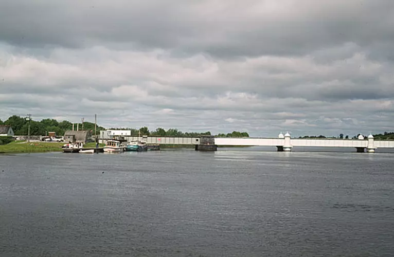
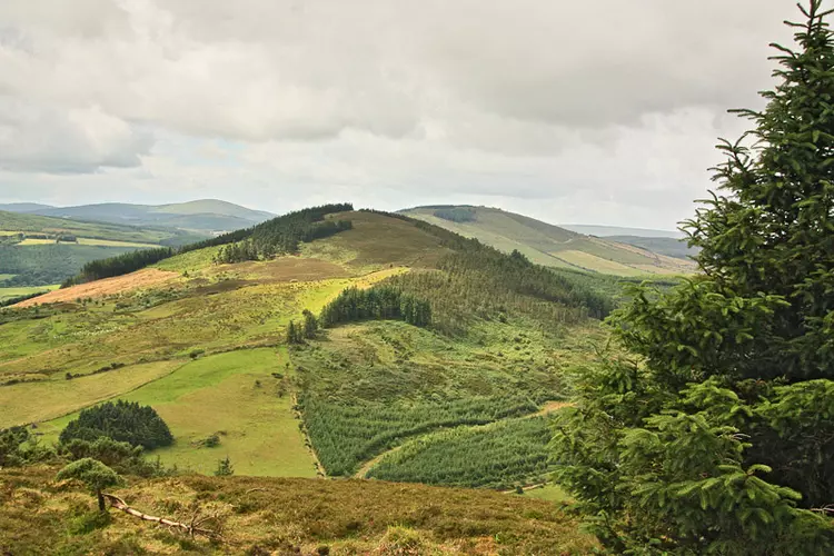
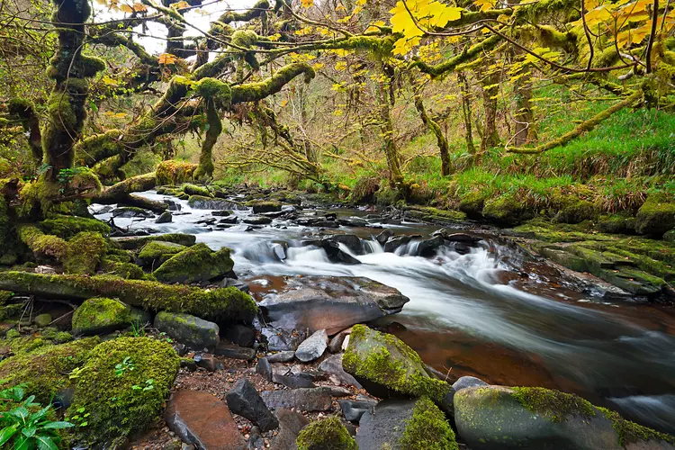
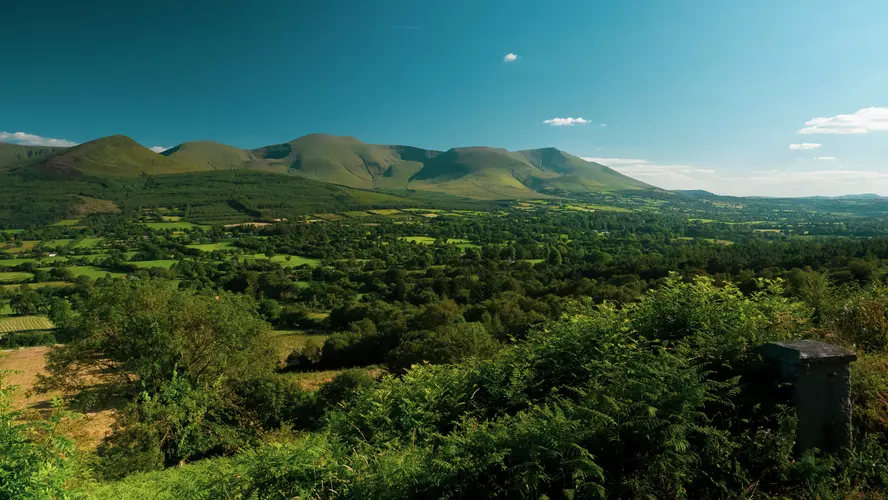
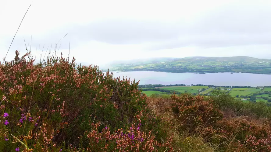
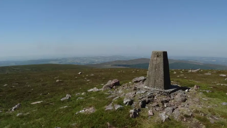
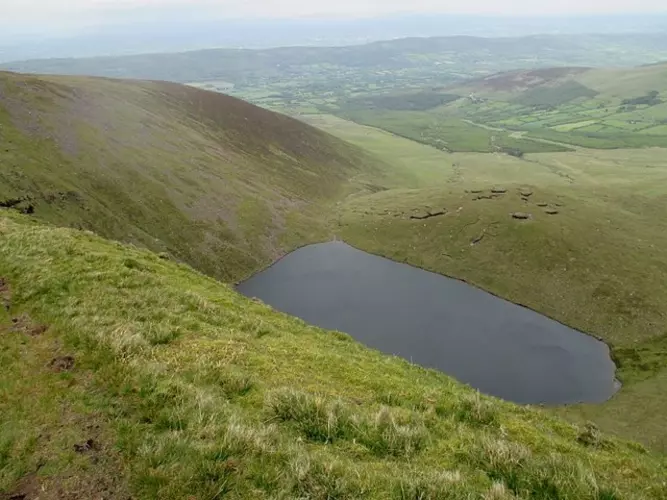
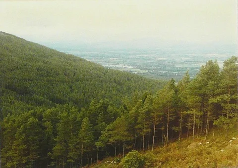
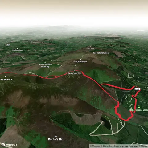
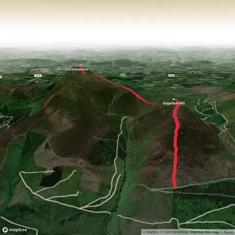
Check out some of the best hiking, walking and backpacking routes in County Tipperary, Ireland. The Galtymore to Cush Mountain Loop is the most popular trail. The trails have 1897 user reviews with great photos and information. There are trails of various difficulty levels including easy, medium, difficult, and extra difficult. The trail with the highest elevation climb is the Galtymore and Lyracappul Loop and the trail with the least amount of climbing is the Sli Eala. The longest trail is the St Declan's Way at 116.1 km. For a shorter adventure you can try the Murroe - Nature Loop at 1.3 km. Get off line access to Pub, Water, History, and Peak locations and much more with a Hiiker subscription.

Be prepared for hiking in Ireland with the HiiKER app