The best hikes in County Sligo
Ireland · 34 HiiKER Hikes
View Hikes on map
What to expect
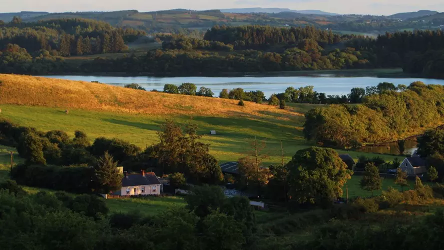
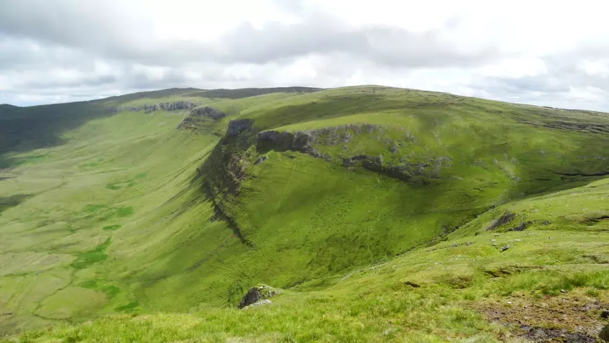
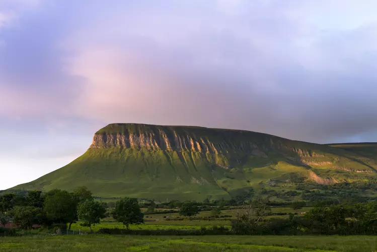
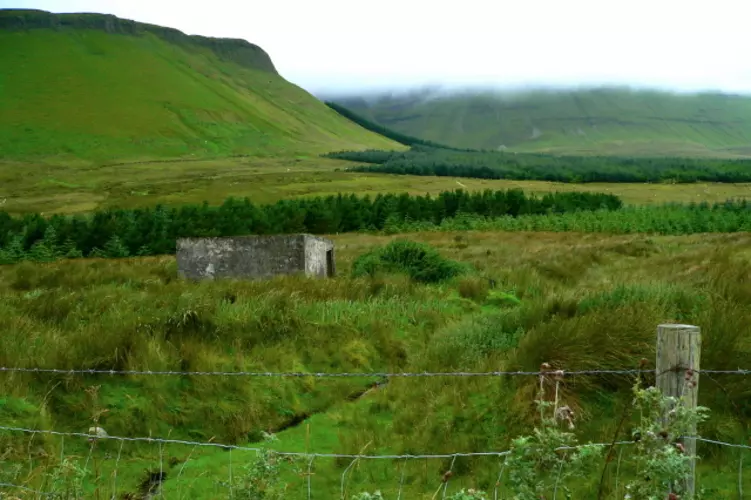
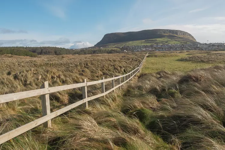
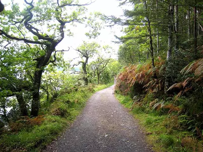
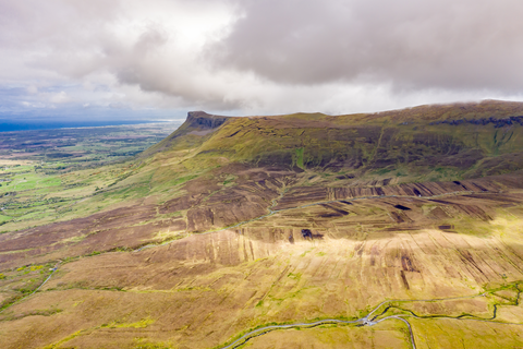
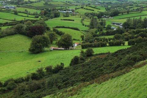
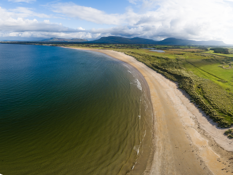
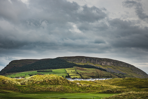
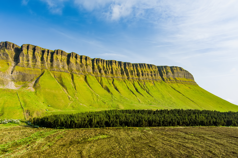
Check out some of the best hiking, walking and backpacking routes in County Sligo, Ireland. The Sligo Way is the most popular trail. The trails have 673 user reviews with great photos and information. There are trails of various difficulty levels including easy, medium, and difficult. The trail with the highest elevation climb is the Truskmore and Tievebaun Loop from Connacht and the trail with the least amount of climbing is the Enniscrone Coastal Loop. The longest trail is the Sligo Way at 79.0 km. For a shorter adventure you can try the Warren Way at 1.2 km. Get off line access to Town, Peak, Pub, and History locations and much more with a Hiiker subscription.

Be prepared for hiking in Ireland with the HiiKER app