The best hikes in County Leitrim
Ireland · 20 HiiKER Hikes
View Hikes on map
What to expect
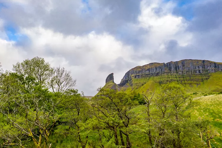
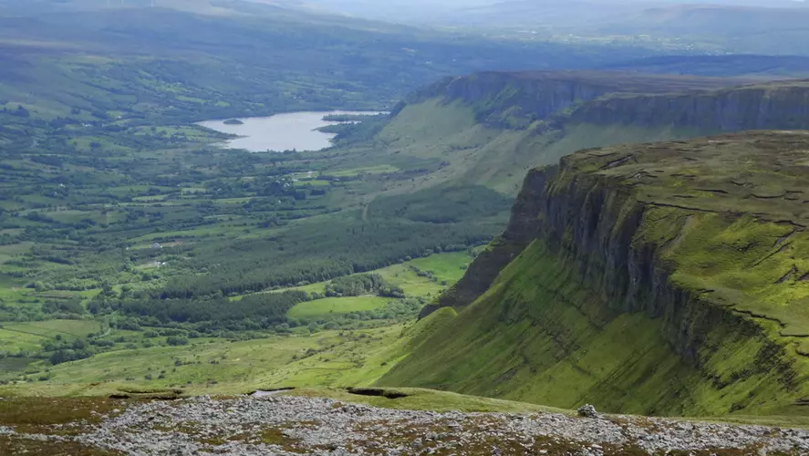
Check out some of the best hiking, walking and backpacking routes in County Leitrim, Ireland. The Eagles Rock Trail is the most popular trail. The trails have 410 user reviews with great photos and information. There are trails of various difficulty levels including easy, medium, and difficult. The trail with the highest elevation climb is the Eagle's Rock and Tievebaun Loop from Glenade and the trail with the least amount of climbing is the SLNCR Rail'The Long Stretch' Walking Trail. The longest trail is the Leitrim Way at 57.7 km. For a shorter adventure you can try the O'Rourke’s Table Trail at 1.2 km. Get off line access to Pub, Peak, Water, and History locations and much more with a Hiiker subscription.

Be prepared for hiking in Ireland with the HiiKER app