Download
3D Flyover
Add to list
More
121.1 km
~5 days
179 m
Multi-Day
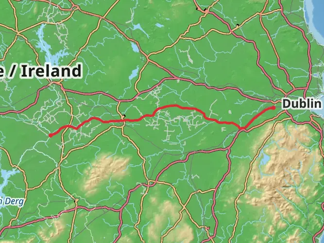
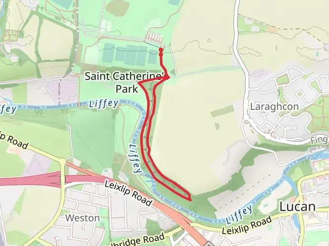
The Royal Canal Greenway is a 121.1 km trail that starts in , County Kildare, Ireland. Based on our data, the hike is graded as Easy. For information on how we grade trails, please read measuring the difficulty of a hiking trail on hiiker. Also, check our latest community posts for trail updates. This hike can be completed in approx 4 days. Caution is advised on trail times as this depends on multiple variables. For more info read about how we calculate hike time.

What to expect?
Activity types
Frequently asked questions
Where does the Royal Canal Greenway start and finish?
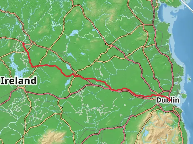
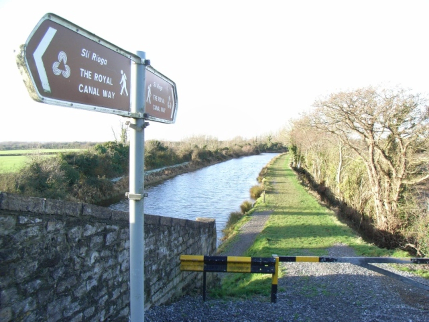
The Royal Canal Greenway is generally described as running from Maynooth in County Kildare to Longford Town or nearby Cloondara on the River Shannon corridor. The full greenway is about 130 km on the ground, while this mapped hike is 121.07 km through the County Kildare section and beyond on an easy, mostly flat canal towpath route.
How long is the Royal Canal Greenway and how far can you walk on it?
The Royal Canal Greenway is a long-distance route of roughly 130 km from Maynooth to Longford Town, and this hike listing measures 121.07 km. Because elevation gain is only 179 m, it is one of the flatter multi-day walks in Ireland and can be covered in shorter day stages or as a full end-to-end trip.
Is the Royal Canal Greenway open for walking?
The Royal Canal Greenway has been officially open since 2021 and Waterways Ireland describes it as a long-distance off-road walking and cycling trail. The main continuous greenway is open from Maynooth to the Longford side of the route, though short local access or maintenance issues can still affect individual sections from time to time.
Is the Royal Canal Greenway easy or suitable for beginners?
Yes. The Royal Canal Greenway is rated easy, with just 179 m of total ascent over 121.07 km, so the route is far flatter than a typical upland trail. It follows the old canal towpath, making it a practical choice for beginner walkers, steady multi-day trips, and shorter out-and-back sections from canal towns.
Can the Royal Canal Greenway be walked from Dublin?
The historic Royal Canal itself runs from Dublin toward the Shannon, but the main signed Royal Canal Greenway is usually promoted from Maynooth westward to Longford Town or Cloondara. Walkers starting in the Dublin area can still join canal-side sections, but the best-known continuous greenway section begins at Maynooth.
Which towns does the Royal Canal Greenway pass through?
The Royal Canal Greenway links Maynooth with Longford Town and passes through well-known canal towns including Enfield and Mullingar along the way. It crosses four counties in total: Kildare, Meath, Westmeath, and Longford, following the line of the Royal Canal across the Irish midlands.
Comments and Reviews
User comments, reviews and discussions about the Royal Canal Greenway, Ireland.
4.48
average rating out of 5
25 rating(s)