Download
3D Flyover
Add to list
More
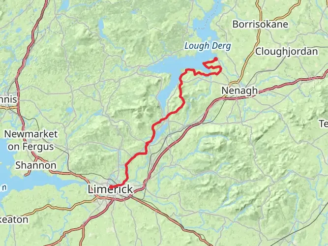
158.2 km
~6 days
2549 m
Multi-Day
“Embark on the East Clare Way, a scenic and historical adventure through Ireland's enchanting heartland.”
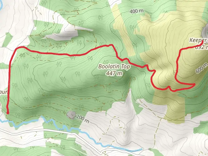
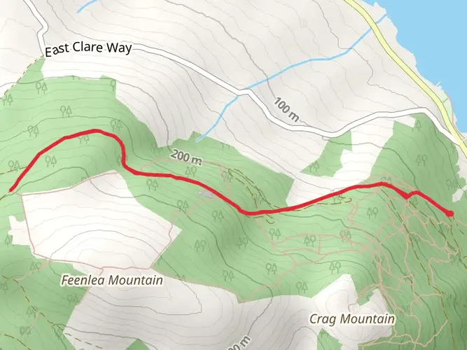
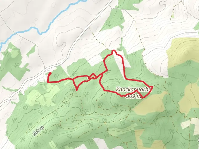
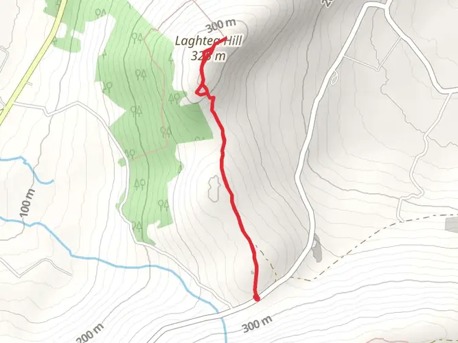
Spanning approximately 158 kilometers (about 98 miles) with an elevation gain of around 2500 meters (approximately 8200 feet), the East Clare Way is a captivating loop trail situated in the heart of County Clare, Ireland. This medium-difficulty hike offers a rich tapestry of landscapes, from rolling hills and peat bogs to serene lakes and dense woodlands.
Starting Point and Access The trailhead is conveniently located near the town of Killaloe, which is accessible by public transport or car. For those arriving by bus, services run from major cities to Killaloe, where you can begin your journey. If driving, parking is available in the town, allowing you to safely leave your vehicle as you embark on the trail.
Navigating the Trail As you set out, the well-marked path will guide you through a variety of terrains. Hikers can utilize the HiiKER app for detailed maps and navigation assistance, ensuring a smooth experience on the trail.
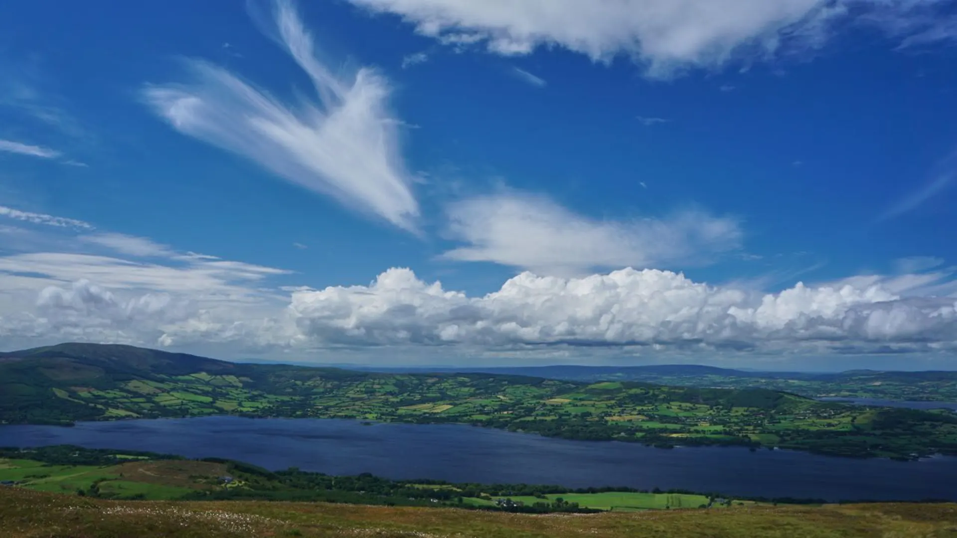
Natural Beauty and Wildlife The East Clare Way meanders through a landscape that is a haven for nature enthusiasts. Expect to traverse through lush woodlands, home to native bird species such as the skylark and the cuckoo. The trail also passes by numerous lakes, including the picturesque Lough Derg, where the reflection of the sky on the water's surface is a sight to behold. Keep an eye out for the diverse flora and fauna, including the chance to spot red squirrels, pine martens, and even the elusive Irish hare.
Cultural and Historical Landmarks The region is steeped in history, and the trail offers hikers the opportunity to explore a number of significant sites. One of the highlights is the 13th-century Killaloe Cathedral, a testament to Ireland's medieval past. As you continue, you'll encounter ancient ring forts and standing stones that whisper tales of Ireland's early inhabitants.
Terrain and Elevation Changes The East Clare Way is characterized by its undulating terrain, with some sections more challenging than others. The elevation gain is spread throughout the trail, with the most significant ascents providing rewarding panoramic views of the surrounding countryside. The trail can be rocky and muddy in places, so sturdy hiking boots are recommended.
Preparation and Safety Given the trail's length and varied terrain, it's important to be well-prepared. Ensure you have adequate water, food, and clothing for the Irish weather, which can be unpredictable. It's advisable to plan your hike over several days, taking advantage of the charming villages and guesthouses along the route for overnight stays.
Conclusion The East Clare Way is a journey through the heart of Ireland's natural beauty and historical legacy. With careful preparation and a spirit of adventure, hikers will find this trail to be a rewarding experience that encapsulates the essence of the Irish landscape.

What to expect?
Activity types
Comments and Reviews
User comments, reviews and discussions about the East Clare Way, Ireland.
4.73
average rating out of 5
26 rating(s)