The best hikes in Marion County
Indiana · 45 HiiKER Hikes
View Hikes on map
What to expect
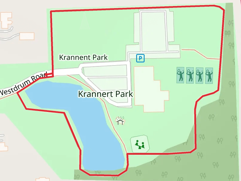
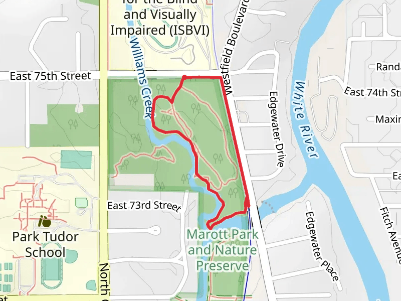
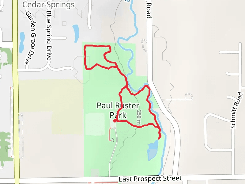
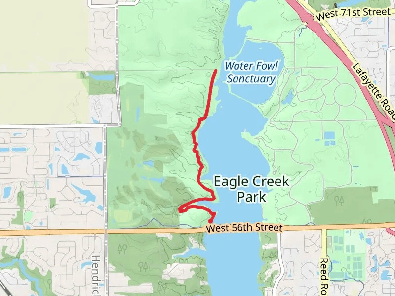
Check out some of the best hiking, walking and backpacking routes in Marion County, Indiana. The Central Canal Towpath is the most popular trail. There are trails of various difficulty levels including easy and medium. The trail with the highest elevation climb is the B and O Trail and the trail with the least amount of climbing is the Bel Aire Park Loop. The longest trail is the B and O Trail at 20.1 km. For a shorter adventure you can try the Fall Creek Road North Loop at 650 m. Get off line access to Healthcare, Shelter, Fastfood, and Restaurant locations and much more with a Hiiker subscription.

Be prepared for hiking in Indiana with the HiiKER app