Download
3D Flyover
Add to list
More
42.8 km
~2 days
26 m
Multi-Day
“Explore Indiana's history and nature on the family-friendly Monon Rail Trail, an accessible urban-to-suburban adventure.”
The Monon Rail Trail stretches approximately 43 kilometers (around 27 miles) and is a point-to-point trail that begins near Hamilton County, Indiana. With virtually no elevation gain, this trail is accessible and easy for hikers of all levels, including families and those looking for a leisurely walk, run, or bike ride.
Getting to the Trailhead
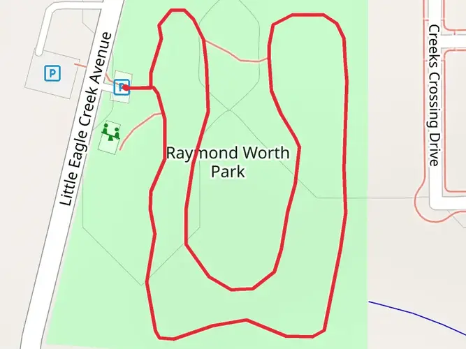
To reach the starting point of the Monon Rail Trail, you can drive to the southern terminus located near 10th Street in Indianapolis. For those opting for public transportation, local bus services can drop you off close to the trailhead. Parking is available for those who drive, but it's advisable to arrive early on weekends as it can get busy.
Trail Experience
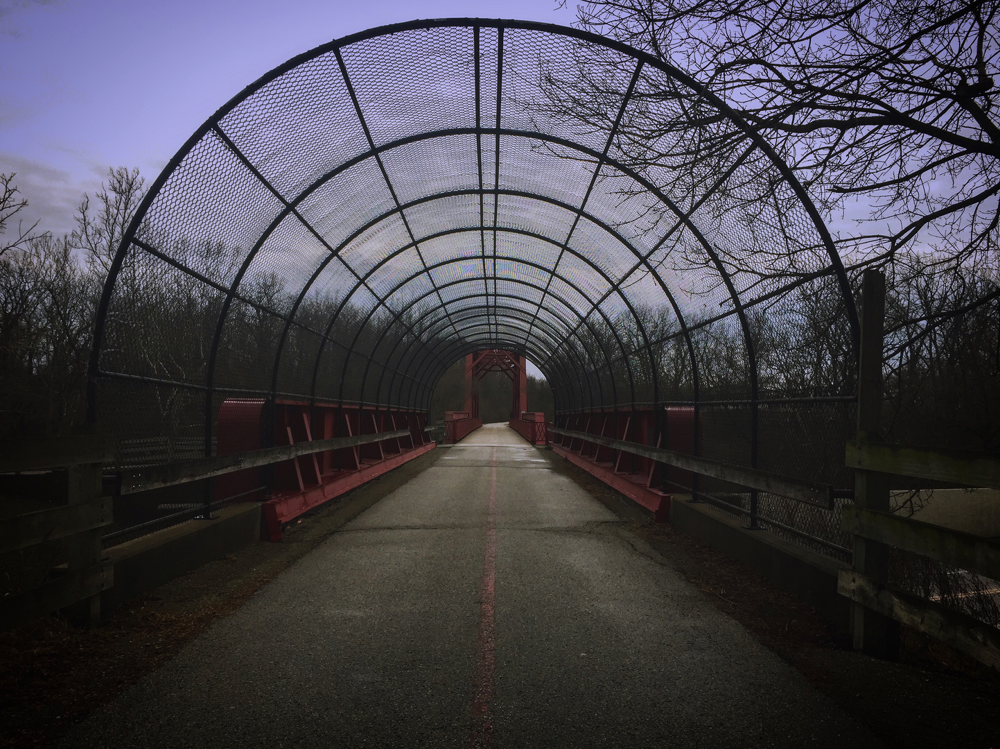
As you embark on the Monon Rail Trail, you'll be following the path of the historic Monon Railroad, which has been converted into a multi-use trail as part of the Rails-to-Trails Conservancy project. The trail offers a mix of urban and suburban scenery, with stretches that take you through bustling neighborhoods, peaceful wooded areas, and alongside local parks.
Historical Significance and Landmarks
The Monon Railroad was a critical transportation route in Indiana's development, and as you travel along the trail, you'll encounter various historical markers and signs that tell the story of the region's past. Notable landmarks include the Monon Depot Museum in Linden, which is a short detour from the main trail and provides a glimpse into the railroad's history.
Nature and Wildlife
The trail is lined with trees and greenery, providing shade and a habitat for local wildlife. Keep an eye out for birds, squirrels, and other small animals that call this corridor home. The trail also features several rest stops with benches and water fountains, making it easy to take a break and enjoy the natural surroundings.
Navigating the Trail
For navigation, HiiKER is an excellent tool to use while exploring the Monon Rail Trail. It can help you keep track of your progress and ensure you don't miss any points of interest along the way. The trail is well-marked, and there are numerous access points, so you can choose to tackle the entire length or enjoy shorter segments.
Amenities and Accessibility
The Monon Rail Trail is well-maintained and includes amenities such as restrooms, drinking fountains, and picnic areas. It's also wheelchair accessible, ensuring that it's inclusive for all hikers and visitors. The trail is popular among locals for daily exercise, so expect to share the path with joggers, cyclists, and rollerbladers.
Preparation and Planning
Before setting out, ensure you have sufficient water, especially during warmer months, and consider bringing snacks or a packed lunch. While there are places to stop for food along the trail, it's always best to be prepared. Dress in layers to adjust to changing temperatures throughout the day, and wear comfortable footwear suitable for paved surfaces.
Remember, the Monon Rail Trail is a shared space, so be mindful of trail etiquette, keeping to the right and passing on the left. Enjoy the easygoing nature of this historic trail and the communities it connects.

Frequently asked questions
How long is the Monon Rail Trail and how much elevation does the Monon Rail Trail have?
The Monon Rail Trail is about 42.85 kilometers long, or roughly 27 miles. It has only around 26 meters of elevation gain across the full route, so it is a very flat rail-trail and one of the easier long-distance outings in Hamilton County and Indianapolis.
Where does the Monon Rail Trail start and finish in Indiana?
The Monon Rail Trail runs point to point from near 10th Street in Indianapolis north through Carmel and Westfield to Sheridan in Hamilton County. In Indianapolis, the trail runs from 10th Street to 96th Street before continuing north into Hamilton County, linking several communities on one continuous corridor.
Is the Monon Rail Trail paved and suitable for easy family hiking?
Yes. The Monon Rail Trail is an easy paved rail-trail with a very gentle profile, making it suitable for families, casual walkers, runners, and anyone looking for a low-impact route. In Westfield, the official trail listing describes the surface as asphalt, and the route is widely used for walking, running, bicycling, and rollerblading.
Where can you park for the Monon Rail Trail in Carmel and Westfield?
Parking for the Monon Rail Trail is available at several access points in Hamilton County. In Westfield, major access includes the Greyhound Pass trailhead and Quaker Park, and the city lists parking, restrooms, drinking fountains, benches, and dog waste stations there. In Carmel, free parking, restrooms, and water are available at trailheads at 1430 East 96th Street and 1201 Rohrer Road.
Are dogs allowed on the Monon Rail Trail in Hamilton County?
Dogs are commonly accommodated on the Monon Rail Trail in Hamilton County. Westfield lists dog waste stations among the trail amenities, and Carmel’s Monon Greenway includes pet-friendly features such as dog waste areas and pet-sized water fountains. For a smoother experience on this busy paved corridor, dogs are best kept under close control.
What towns and landmarks does the Monon Rail Trail pass through?
The Monon Rail Trail connects downtown Indianapolis with Carmel, Westfield, and Sheridan. Along the Indianapolis section, it passes or connects near places such as Frank and Judy O’Bannon Park, Martin Luther King Jr. Park, Frederick Douglass Park, the Indiana State Fairgrounds, Broad Ripple Village, and Marott Park, while Carmel and Westfield add busy town-center sections in Hamilton County.
How long does it take to complete the Monon Rail Trail on foot?
A full end-to-end walk of the Monon Rail Trail covers about 42.85 kilometers, so most hikers should expect a full-day effort or to split it into sections over more than one day. At a steady walking pace of about 3 miles per hour, the complete route is roughly a 9-hour walk before adding breaks, food stops, or detours in places like Broad Ripple, Carmel, or Westfield.
Comments and Reviews
User comments, reviews and discussions about the Monon Rail Trail, Indiana.
4.74
average rating out of 5
19 rating(s)