Download
3D Flyover
Add to list
More
52.0 km
~2 days
71 m
Multi-Day
“Embark on a serene 32-mile trek along the Hennepin Canal, rich with history, wildlife, and tranquil landscapes.”
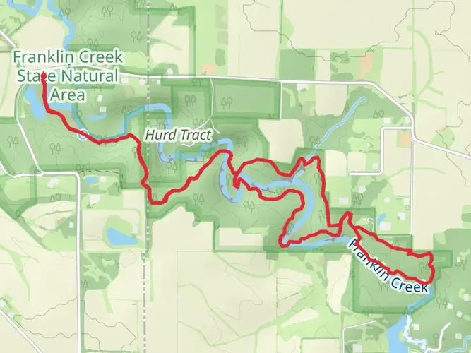
The Hennepin Canal Parkway to American Discovery Trail (ADT) is a scenic journey that stretches approximately 52 kilometers (about 32 miles), offering a unique blend of natural beauty and historical significance. With virtually no elevation gain, this flat pathway is accessible to many hikers, though the distance gives it a medium difficulty rating.
Getting to the Trailhead
To begin your adventure on the Hennepin Canal Parkway, you'll want to make your way to the vicinity of Whiteside County, Illinois. If you're driving, you can reach the trailhead by navigating towards the town of Colona, where parking is available near the intersection of Cleveland Road and East 450th Street. For those opting for public transportation, check local transit schedules for the nearest routes and stops to this area.
Navigating the Trail
As you embark on the trail, you can rely on the HiiKER app for detailed maps and navigation assistance. The path is well-marked, following the historic Hennepin Canal, which was once a vital waterway connecting the Illinois and Mississippi Rivers. The canal's towpath has been repurposed as a trail, providing a smooth and continuous route for hikers.
Historical Significance and Landmarks
The Hennepin Canal holds a special place in American history, as it was instrumental in the development of the region's transportation system in the early 20th century. As you hike, you'll encounter numerous locks, aqueducts, and restored historical structures that tell the story of the canal's past. Notable landmarks include Lock 21, which is a well-preserved example of the canal's engineering, and the Visitor Center at Lock 22, which offers educational displays about the canal's history.
Flora and Fauna
The trail is enveloped by a diverse array of ecosystems, including prairies, wetlands, and woodlands. This variety supports a rich tapestry of wildlife, so keep an eye out for white-tailed deer, beavers, and a multitude of bird species, including the great blue heron and various waterfowl. The changing seasons bring different flora to the forefront, with wildflowers blooming in spring and summer, and the foliage transforming into a palette of autumnal colors in the fall.
Trail Experience
The Hennepin Canal Parkway to ADT is a point-to-point trail, meaning you'll need to arrange transportation back to your starting point or plan for a round trip. The pathway is primarily crushed limestone and grass, suitable for both walking and biking. Along the way, you'll find several rest areas with benches and picnic tables, perfect for taking breaks and enjoying the serene canal-side setting.
Preparation and Planning
Before setting out, ensure you have adequate water and food, as there are limited services along the trail. Sun protection and insect repellent are also recommended, especially during the warmer months. While the trail is relatively flat, its length can be challenging, so pace yourself and consider breaking the hike into segments if you're not accustomed to longer distances.
Remember, the Hennepin Canal Parkway to ADT offers a unique opportunity to immerse yourself in nature while reflecting on the historical importance of the canal system that once powered the heartland of America. Whether you're a history buff, a wildlife enthusiast, or simply seeking a peaceful hike, this trail promises a memorable experience.

What to expect?
Activity types
Comments and Reviews
User comments, reviews and discussions about the Hennepin Canal Parkway to ADT, Illinois.
4.75
average rating out of 5
12 rating(s)