The best hikes in Piatt County
Illinois · 14 HiiKER Hikes
View Hikes on map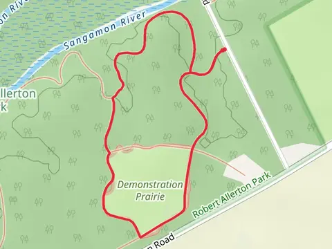
What to expect
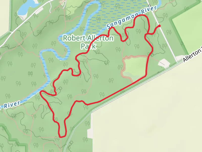
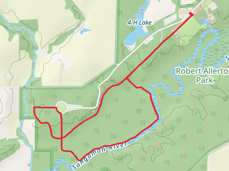
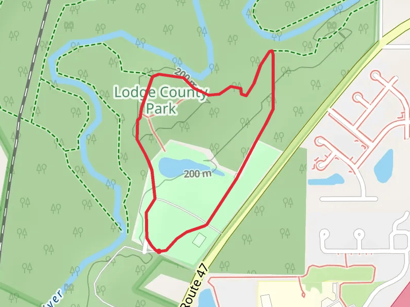
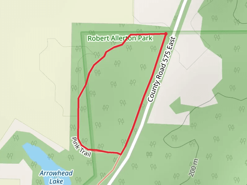
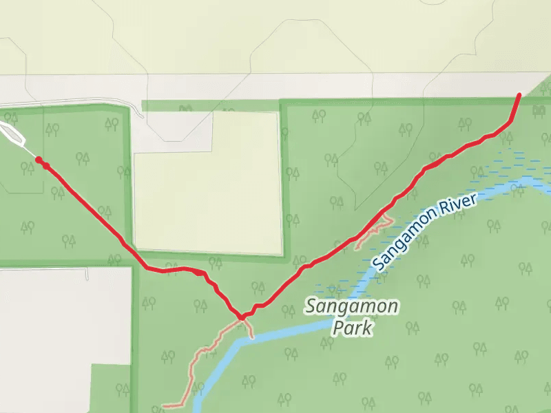
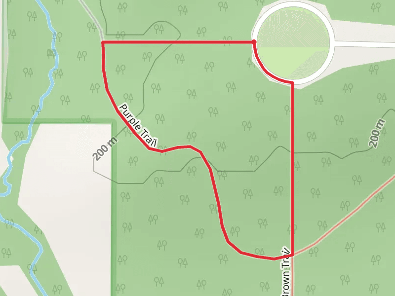
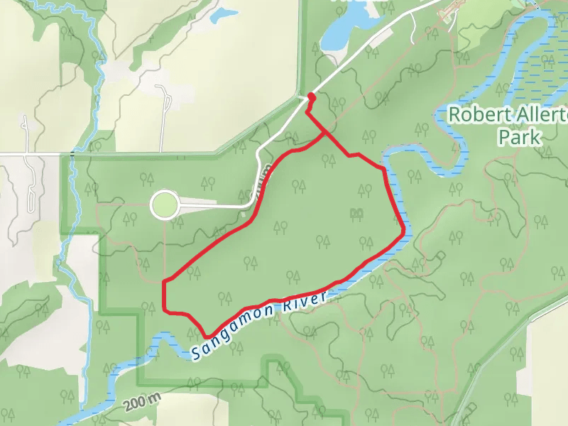
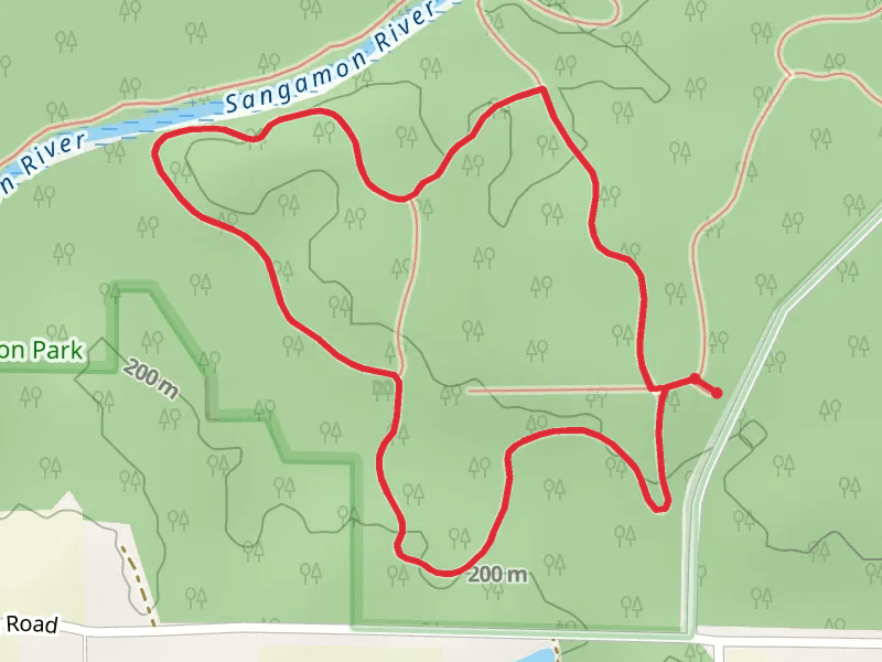
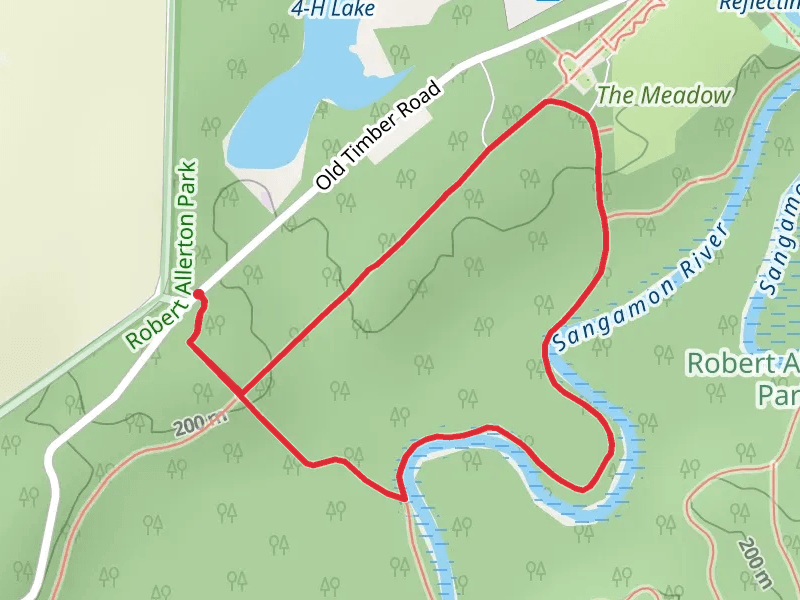
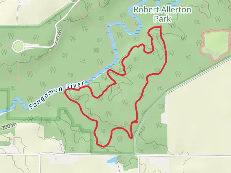
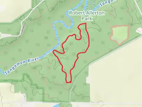
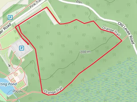
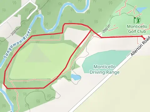
Check out some of the best hiking, walking and backpacking routes in Piatt County, Illinois. The Draft Blue and Red Loop - Robert Allerton Park is the most popular trail. The trail with the highest elevation climb is the County Farm Road Loop and the trail with the least amount of climbing is the Old Route 47 Loop - West. The longest trail is the Loop along Sangamon River at 7.3 km. For a shorter adventure you can try the County Farm Road Loop at 1.0 km. Get off line access to Restaurant, Campsite, Town, and Water locations and much more with a Hiiker subscription.

Be prepared for hiking in Illinois with the HiiKER app