The best hikes in McHenry County
Illinois · 56 HiiKER Hikes
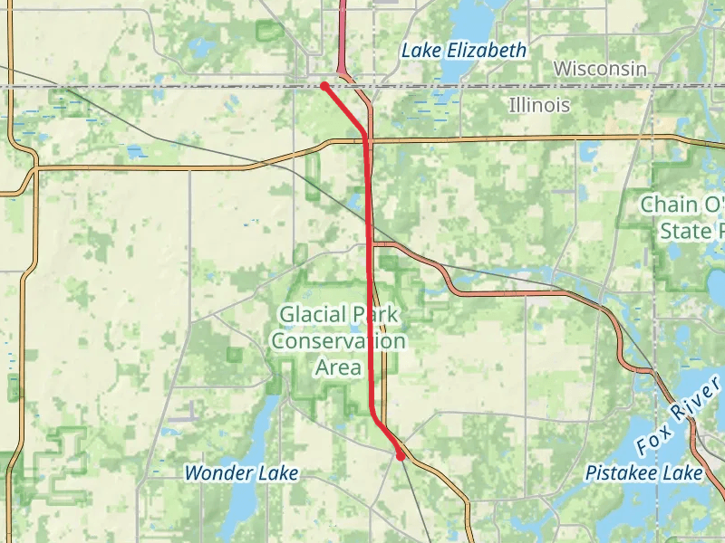
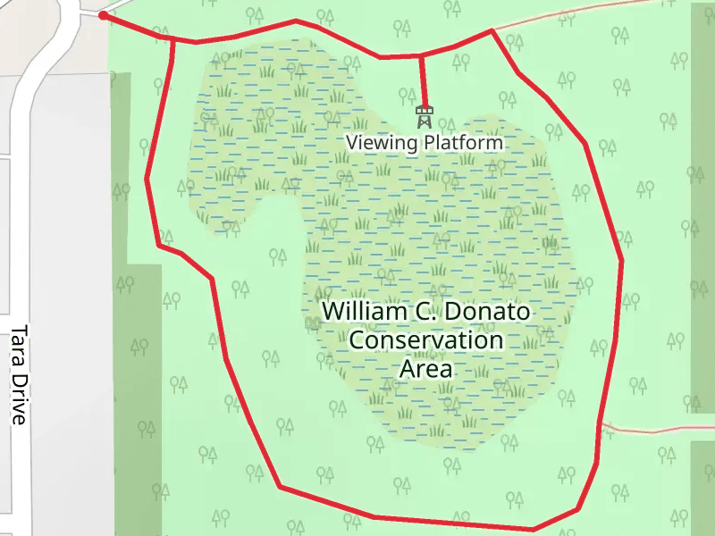
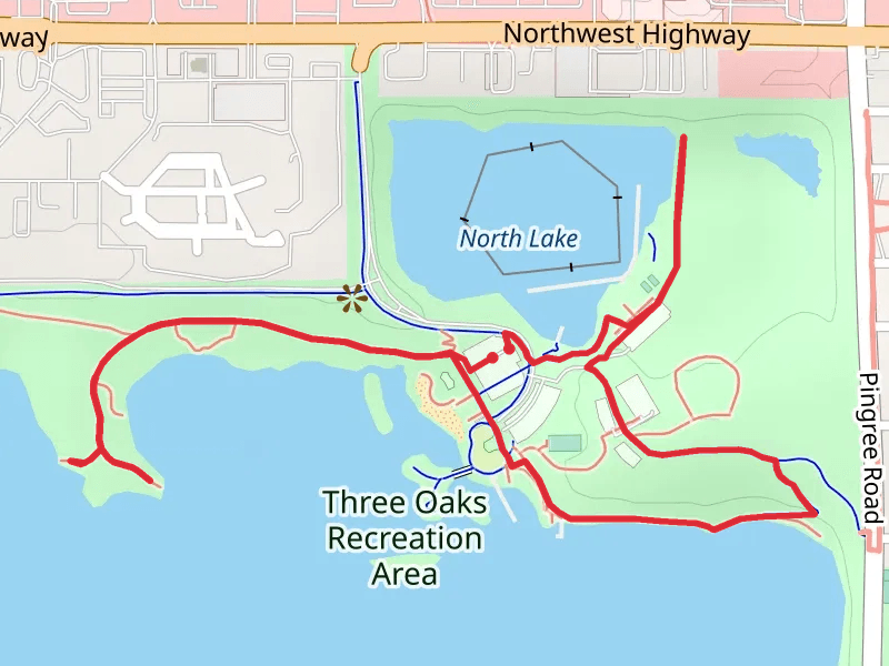
View Hikes on map
What to expect
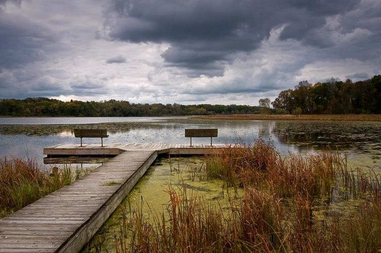
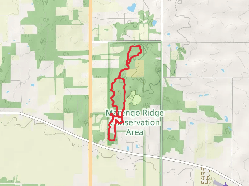
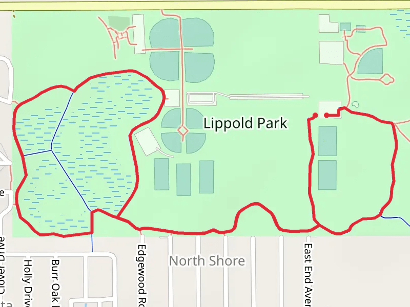
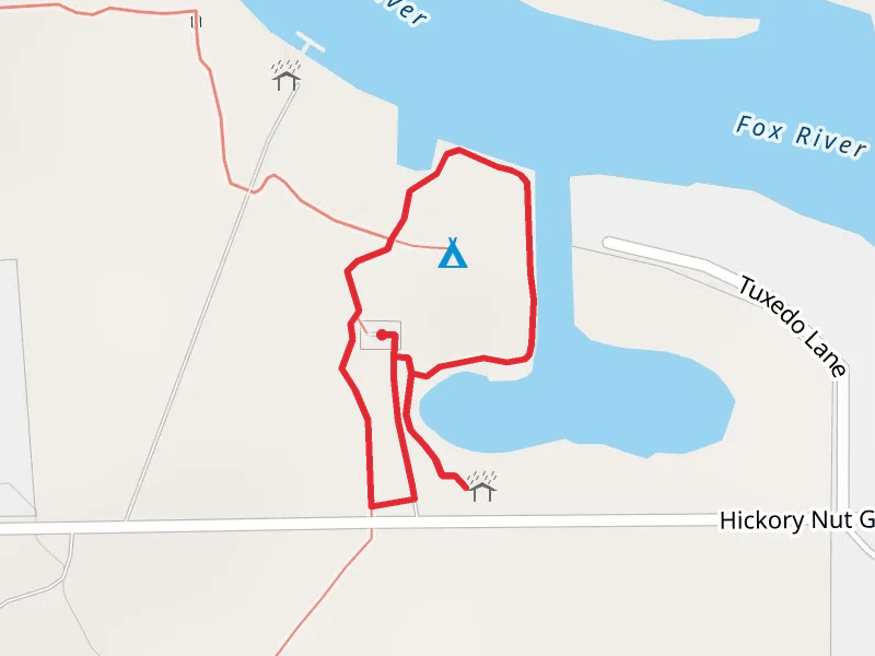
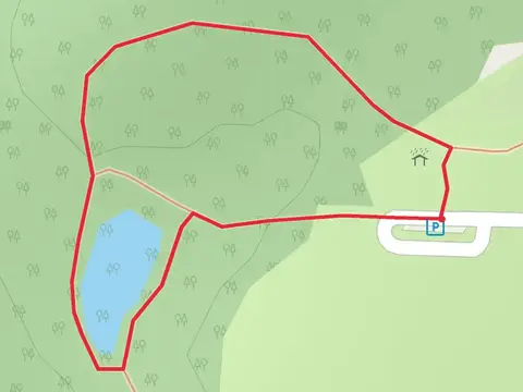
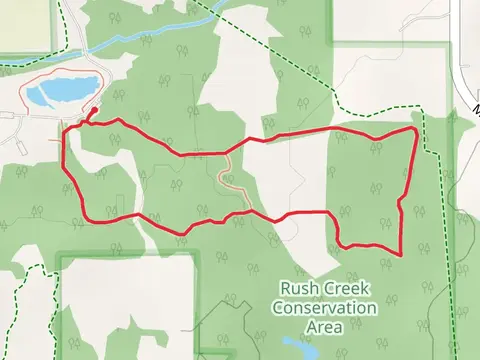
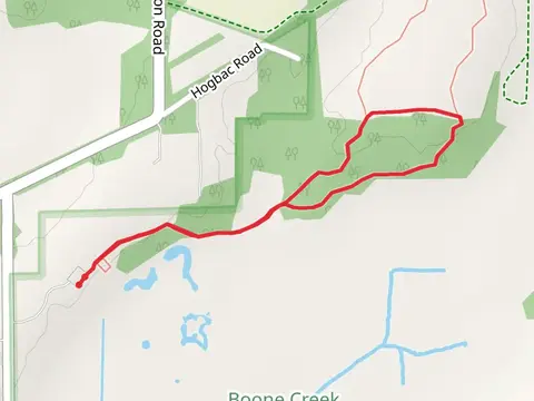
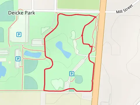
Check out some of the best hiking, walking and backpacking routes in McHenry County, Illinois. The Coral Woods Conservation Area - Nature Loop is the most popular trail. The trails have 1829 user reviews with great photos and information. There are trails of various difficulty levels including easy and medium. The trail with the highest elevation climb is the High Point Loop and the trail with the least amount of climbing is the Hickory Nut Grove Lane Loop. The longest trail is the Ridgefield Trace at 23.3 km. For a shorter adventure you can try the Cherry Valley Road Loop at 495 m. Get off line access to Town, Restaurant, Fastfood, and Shelter locations and much more with a Hiiker subscription.

Be prepared for hiking in Illinois with the HiiKER app