Download
3D Flyover
Add to list
More
99.5 km
~4 days
52 m
Multi-Day
“Embark on a historic journey through Illinois' heartland on the flat, scenic 61-mile Illinois and Michigan Canal Trail.”
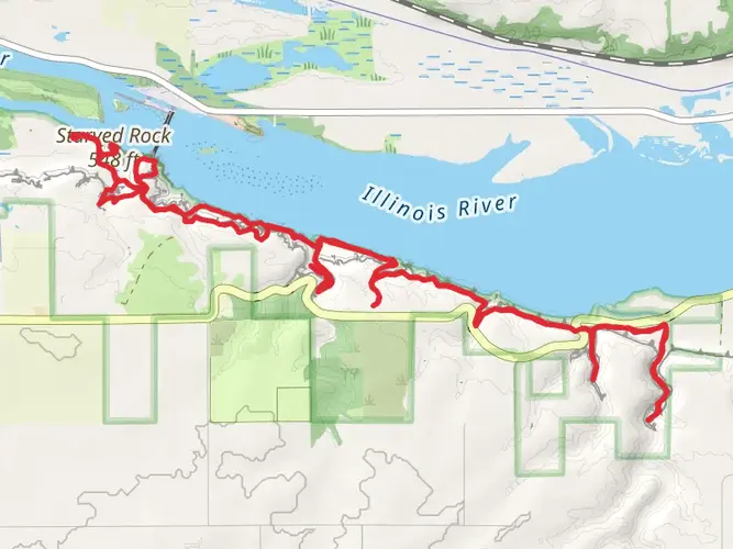
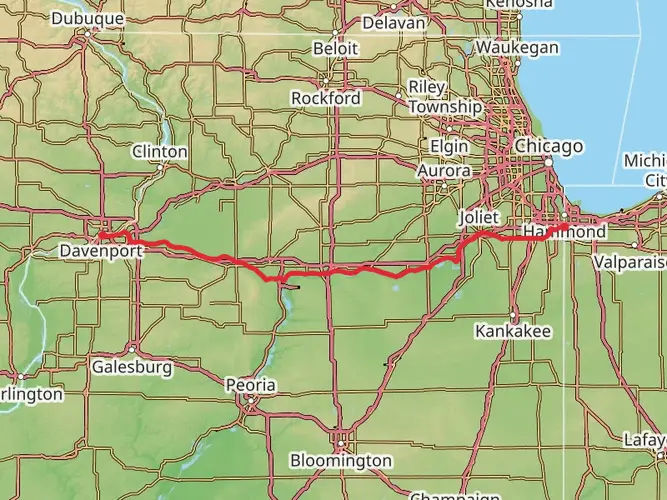
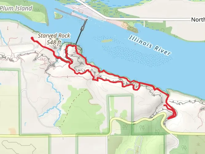
The Illinois and Michigan Canal Trail, stretching approximately 61 miles (around 99 km) with virtually no elevation gain, offers a flat and scenic journey through the heartland of Illinois. This point-to-point trail, beginning near LaSalle County, is steeped in historical significance, tracing a route that once buzzed with the commerce of canal boats and mule-drawn towpaths.
Getting to the Trailhead
To reach the starting point of the trail near LaSalle County, hikers can drive to the western terminus located in the town of LaSalle. For those relying on public transportation, options may be limited, but regional bus services or trains to nearby cities, followed by local taxi or ride-sharing services, can be used to approach the trailhead.
Historical Significance and Landmarks
As you embark on the trail, you'll be walking alongside a canal that played a crucial role in the development of Illinois during the 19th century. The canal connected the Great Lakes to the Mississippi River, opening up trade routes and contributing to the growth of Chicago. Along the route, you'll encounter a series of locks, many of which are well-preserved, offering a glimpse into the engineering feats of the era.
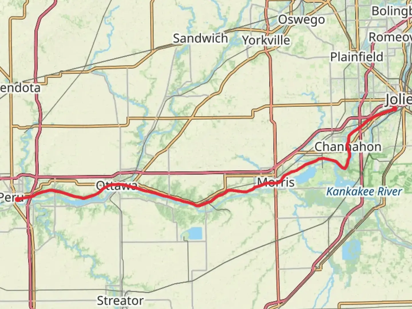
Approximately 15 miles (24 km) into the hike, near the town of Morris, the Gebhard Woods State Park provides a perfect spot for a rest, with its lush greenery and picnic areas. The trail continues to wind through small towns and cities, each with their own historical markers and local charm.
Nature and Wildlife
The trail is a haven for wildlife enthusiasts, with opportunities to spot deer, beavers, and a variety of bird species, including herons and eagles. The surrounding landscape is a mix of woodlands, wetlands, and prairie, with the changing seasons bringing a kaleidoscope of colors and scenery.
Navigating the Trail
While the trail is well-marked, it's always wise to have a reliable navigation tool like HiiKER to keep track of your progress and ensure you don't miss any points of interest. The app can also help you locate nearby amenities, such as water sources, restrooms, and camping spots.
Amenities and Preparation
The trail is dotted with rest areas, benches, and shelters, making it accessible for hikers of all levels. However, it's important to carry sufficient water and snacks, as services can be sparse between towns. The trail's surface, primarily crushed limestone, is suitable for both walking and biking, so ensure you have appropriate footwear to handle the terrain.
Weather Considerations
Illinois weather can be unpredictable, with hot summers, cold winters, and the potential for sudden storms. Check the forecast before setting out and prepare accordingly, with layers for cold weather and sun protection for the warmer months.
Conclusion
The Illinois and Michigan Canal Trail offers a unique blend of historical exploration and natural beauty. Whether you're a history buff, a nature lover, or simply seeking a peaceful walk, this trail provides a memorable experience through the heart of Illinois. Remember to respect the trail and its surroundings, leaving no trace as you enjoy your hike.

Comments and Reviews
User comments, reviews and discussions about the Illinois and Michigan Canal Trail, Illinois.
4.5
average rating out of 5
6 rating(s)