Download
3D Flyover
Add to list
More
115.5 km
~4 days
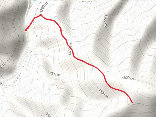
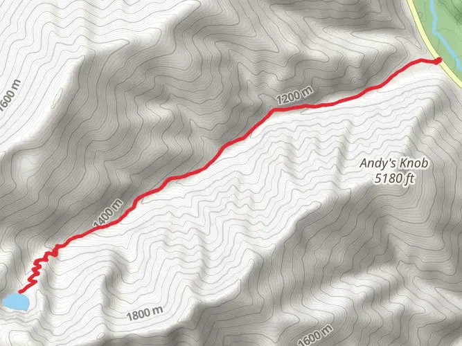
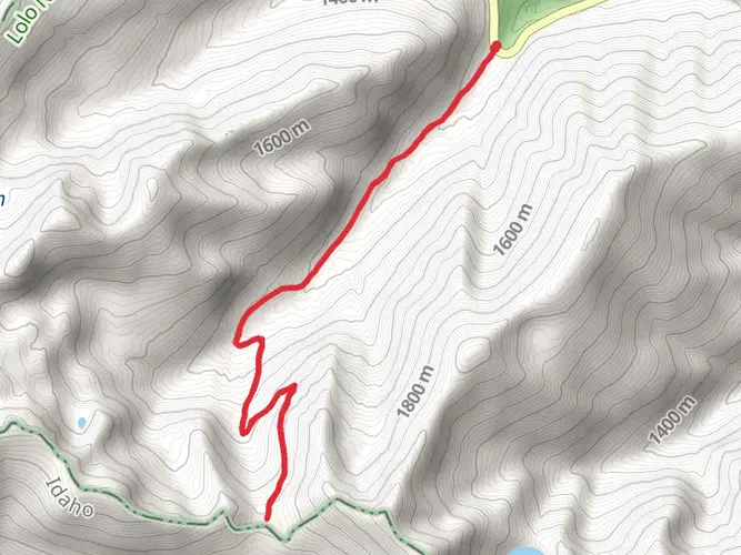
316 m
Multi-Day
“Embark on the Trail of the Coeur d'Alenes, a historic, wildlife-rich scenic journey through Idaho's natural splendor.”
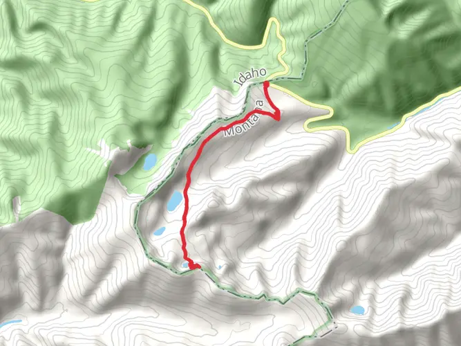
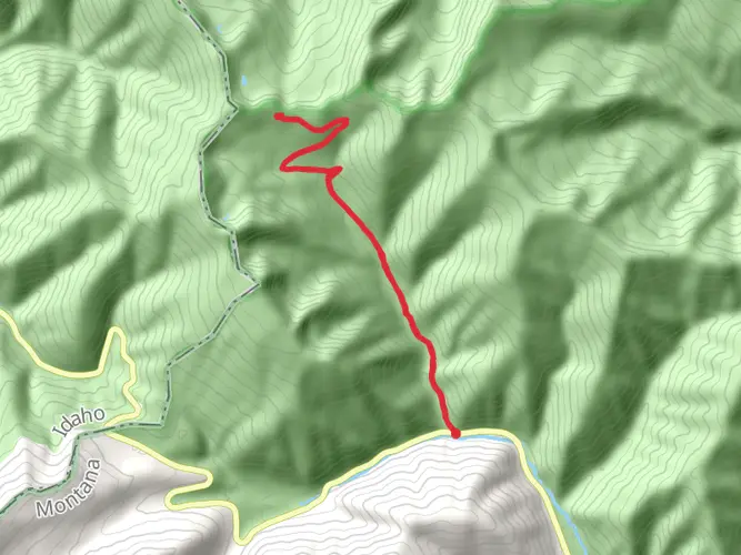
Spanning approximately 72 miles (116 kilometers) with an elevation gain of around 1,000 feet (300 meters), the Trail of the Coeur d'Alenes offers a scenic journey through the Idaho Panhandle. This point-to-point trail is a paved path that stretches from the historic Silver Valley, near Shoshone County, and winds its way to the Idaho-Washington border, ending near the town of Plummer.
Getting to the Trailhead
The trailhead is located near Shoshone County, Idaho, which is accessible by car. For those using public transportation, options may be limited, but regional bus services can be checked for routes that approach the vicinity of the trailhead. Once at the starting point, hikers can find ample parking and prepare for their journey.
Navigating the Trail
Hikers can utilize the HiiKER app to navigate the trail, ensuring they stay on the correct path and can pinpoint their location at any time. The app will also provide valuable information about the trail's landmarks and points of interest.
Landmarks and Nature
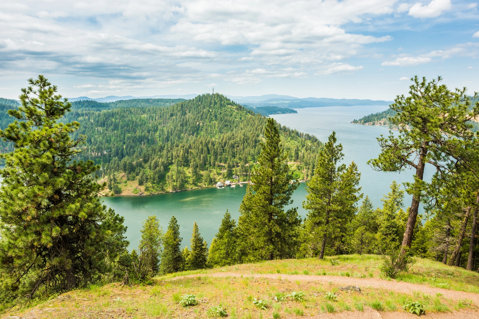
As you embark on the Trail of the Coeur d'Alenes, you'll be greeted by the lush landscapes of the Silver Valley. The trail is enveloped by dense forests, rolling hills, and the Coeur d'Alene River, which accompanies you for a portion of the route. Approximately 20 miles (32 kilometers) into the hike, you'll reach the Chatcolet Bridge, offering panoramic views of Lake Coeur d'Alene.
Further along, the trail meanders through the Coeur d'Alene Reservation, home to the Coeur d'Alene Tribe, where you can witness a blend of natural beauty and cultural heritage. The trail also passes through Heyburn State Park, Idaho's oldest state park, which is a great spot for observing local wildlife, including bald eagles, ospreys, and moose.
Historical Significance
The region is steeped in history, with the trail itself being a converted railroad line that once served the mining and logging industries. Along the route, remnants of the area's industrial past can be seen, including old mining towns and historical markers that tell the story of the Coeur d'Alene's rich mining heritage.
Wildlife and Flora
The trail offers an opportunity to see a diverse array of wildlife. Birdwatchers will delight in the variety of bird species, while the surrounding forests and wetlands are home to deer, beavers, and other wildlife. The flora along the trail is equally diverse, with a mix of coniferous and deciduous trees, wildflowers in the spring and summer, and a colorful display of foliage in the fall.
Preparation and Planning
Given the trail's moderate difficulty rating, it's suitable for hikers of various skill levels, including families. However, it's important to come prepared with adequate water, food, and clothing for changing weather conditions. Since the trail is long, you may want to plan for multiple days of hiking or choose specific sections to explore.
Conclusion
The Trail of the Coeur d'Alenes is a gem in the Idaho Panhandle, offering a unique combination of natural beauty, wildlife, and historical intrigue. Whether you're looking for a leisurely day hike or an extended adventure, this trail promises an enriching experience for all who traverse its path.

What to expect?
Activity types
Frequently asked questions
How long does it take to hike the Trail of the Coeur d'Alenes end to end?
The Trail of the Coeur d'Alenes is 115.54 km, or about 72 to 73 miles, from Mullan to Plummer. Because the route is paved and the total elevation gain is only 316 m, strong multi-day hikers often split it into 2 to 4 days, while slower walkers may take longer depending on daily mileage and shuttle logistics.
Where are the main trailheads and parking areas for the Trail of the Coeur d'Alenes?
The route runs between Mullan and Plummer and has about 20 developed trailheads spread across the corridor. One of the best-known access points is at Chatcolet near Heyburn State Park, but current Idaho Parks and Recreation notices say Chatcolet parking is restricted during marina construction, so other trailheads outside Heyburn State Park may be easier for access right now.
Is the Trail of the Coeur d'Alenes paved and suitable for easy walking?
Yes. The Trail of the Coeur d'Alenes is a smooth asphalt rail trail with an easy overall profile, covering 115.54 km with only 316 m of elevation gain. That combination makes it one of the more accessible long-distance walks in Idaho for walkers, wheelchair users, and anyone looking for a low-grade route.
Are dogs allowed on the Trail of the Coeur d'Alenes?
Dogs are allowed on the Trail of the Coeur d'Alenes, but Idaho Parks and Recreation requires pets to be kept on a short leash at all times. The trail corridor also asks owners to pack out pet waste and keep animals on the paved trail and designated rest areas.
What are the best landmarks to see on the Trail of the Coeur d'Alenes?
Highlights on the Trail of the Coeur d'Alenes include the historic Silver Valley near Mullan, long stretches beside the Coeur d'Alene River, wetlands and small lakes in the central section, and the 3,100-foot Chatcolet Bridge near Heyburn State Park. The western end also crosses the Coeur d'Alene Reservation before reaching Plummer.
Can you camp on the Trail of the Coeur d'Alenes during a multi-day hike?
Camping is not allowed along or within the Trail of the Coeur d'Alenes corridor itself. For a multi-day trip, overnight stops need to be planned in nearby communities or established campgrounds off the trail rather than on the right-of-way.
Are e-bikes or horses allowed on the Trail of the Coeur d'Alenes?
Class 1 and Class 2 e-bikes are allowed on the Trail of the Coeur d'Alenes. Horses and pack stock are prohibited throughout the entire trail corridor, so the route is managed as a paved non-motorized trail apart from the permitted e-bike classes.
Comments and Reviews
User comments, reviews and discussions about the Trail of the Coeur d'Alenes, Idaho.
4.61
average rating out of 5
18 rating(s)