Download
3D Flyover
Add to list
More
33.6 km
~2 days
1164 m
Multi-Day
“Embark on the Lauterbacher Wandersteig for a challenging, nature-immersed trek through the Black Forest's heart.”
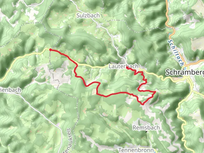
Embarking on the Lauterbacher Wandersteig is a journey through the enchanting Black Forest, offering a blend of challenging ascents, serene forest paths, and panoramic views. This approximately 34 kilometers (about 21 miles) loop trail, with an elevation gain of around 1100 meters (approximately 3609 feet), is not for the faint-hearted but rewards the intrepid hiker with a true sense of accomplishment and connection to nature.
Getting to the Trailhead
The trailhead is conveniently located near the Verwaltungsgemeinschaft Schramberg, in the heart of the Black Forest region of Germany. For those arriving by car, parking is available in the vicinity of the starting point. Public transport users can take advantage of the local bus services that connect to Schramberg, from where the trailhead is accessible.
The Hike Itself
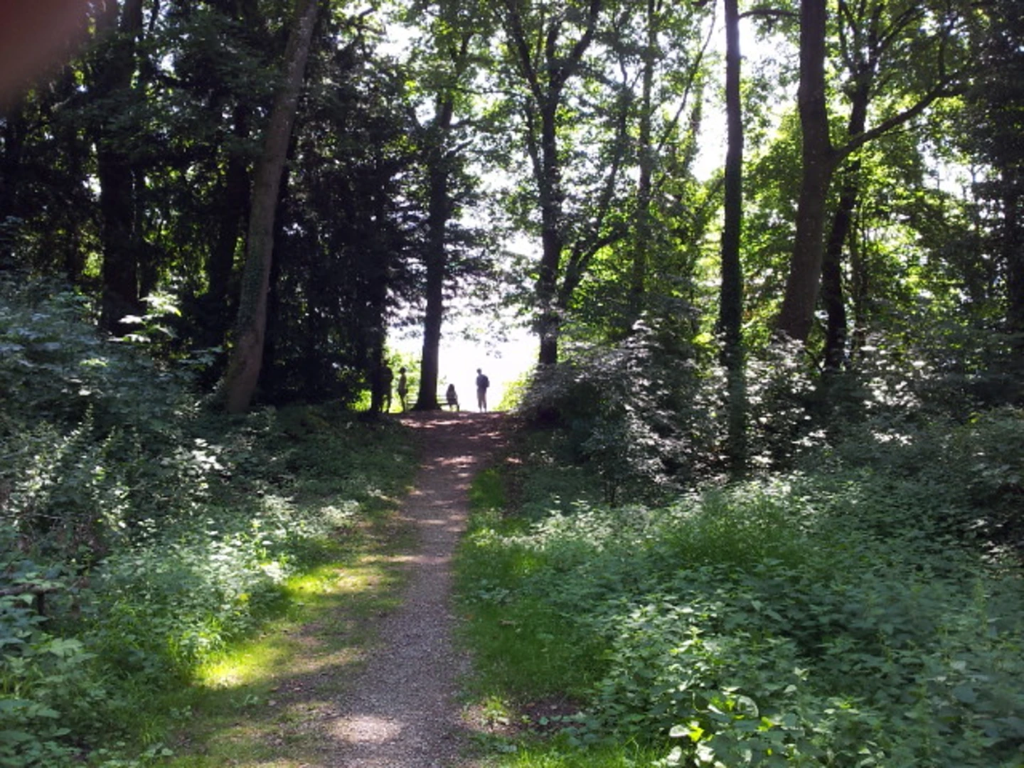
As you set out on the Lauterbacher Wandersteig, the path weaves through a mosaic of dense woodlands, open meadows, and along babbling brooks. The trail is well-marked, but carrying a reliable navigation tool like HiiKER is advisable to keep track of your progress and ensure you're on the right path.
The initial segment of the hike introduces you to the forest's tranquility, with the soft rustling of leaves and the occasional deer sighting. As you ascend, the terrain becomes more challenging, with steep inclines that test your endurance. The effort is rewarded with stunning vistas of the surrounding valleys and peaks.
Landmarks and Nature
One of the highlights of the trail is the historical Alpirsbach Monastery, a former Benedictine monastery that dates back to the 11th century. This architectural gem provides a glimpse into the region's rich cultural heritage. The trail also passes through the picturesque town of Lauterbach, where hikers can admire traditional half-timbered houses and take a well-deserved rest.
The Lauterbacher Wandersteig is a haven for wildlife enthusiasts. The diverse habitats along the trail support a variety of bird species, including woodpeckers, buzzards, and even the elusive black stork. The mixed forests are home to a rich biodiversity, including wild boars, foxes, and badgers.
Preparing for the Hike
Given the trail's difficulty rating, it's essential to be well-prepared. Sturdy hiking boots are a must, as the terrain can be uneven and rocky in places. Weather in the Black Forest can be unpredictable, so layered clothing and waterproof gear are recommended. Don't forget to pack enough water and high-energy snacks to sustain you throughout the hike.
Conclusion
The Lauterbacher Wandersteig is a trail that offers more than just a physical challenge; it's a journey through history, nature, and the heart of the Black Forest. Whether you're a seasoned hiker or looking to push your limits, this trail promises an unforgettable adventure.

Frequently asked questions
How long does the Lauterbacher Wandersteig take to hike in the Black Forest?
The Lauterbacher Wandersteig is 33.61 km long with 1,164 meters of climbing, so most hikers treat it as a full-day challenge or split it into 2 days. On a medium-difficulty route with that much elevation, a typical hiking time is around 8 to 11 hours depending on pace, breaks, and trail conditions.
Is the Lauterbacher Wandersteig a loop trail or an out-and-back route?
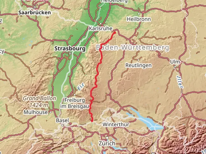
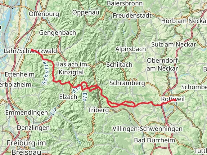
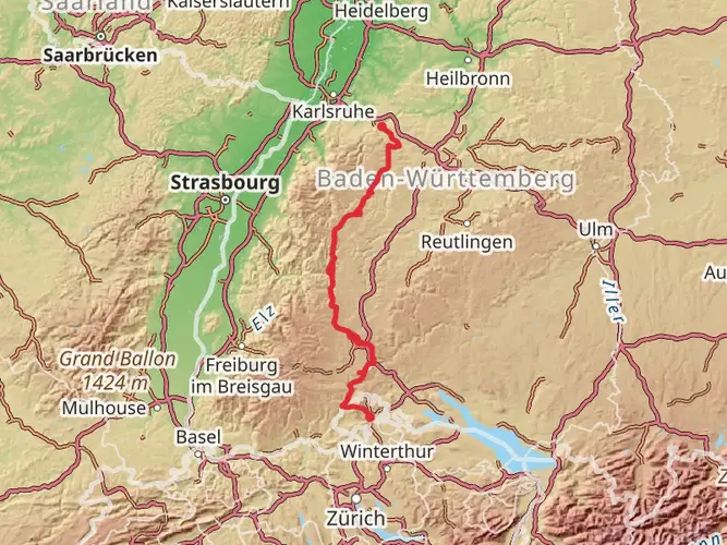
The Lauterbacher Wandersteig is a loop route. It circles the deeply cut Lauterbach valley and the broader Sulzbach high valley near Schramberg on the eastern edge of the central Black Forest, so the hike finishes back near its starting area rather than requiring a shuttle.
Can the Lauterbacher Wandersteig be done as a 2-day hike with an overnight stay?
Yes. Although the route is 33.61 km, it is classified as multi-day and is well suited to being split into 2 stages, especially with 1,164 meters of ascent. Lauterbach has lodging options including guesthouses and vacation apartments in and around the village, with places such as Landgasthaus Mühlenstube, Haus Dürr23, Fehrenbacherhof, and properties on Talweg and Bruckhof available in the area. ([schwarzwald-tourismus.info](https://www.schwarzwald-tourismus.info/unterkuenfte/haus-duerr23-b9ecd27956?utm_source=openai))
Where does the Lauterbacher Wandersteig go in the Black Forest?
The Lauterbacher Wandersteig runs near Lauterbach and Schramberg in the central Black Forest in Baden-Württemberg, Germany. The route loops around the Lauterbach valley and the Sulzbach high valley, giving it a classic Black Forest mix of wooded slopes, valley scenery, and higher open sections.
Where can you park for the Lauterbacher Wandersteig in Lauterbach?
Parking is available in Lauterbach near the hike area, and the village tourist infrastructure is set up for walkers using the Lauterbacher Wandersteig. In the wider Schramberg-Lauterbach area there are signed parking areas and hiking access points, and Lauterbach’s tourist information and village-center services sit close to the route network. ([schwarzwald-tourismus.info](https://www.schwarzwald-tourismus.info/gastronomie/ristorante-pizzeria-la-fontana-18d5c2efb1?utm_source=openai))
Can you reach the Lauterbacher Wandersteig by public transportation from Schramberg?
Yes. Lauterbach is linked to Schramberg by local bus service, and Schramberg Busbahnhof is the main connection point for arriving onward to the village. That makes it possible to reach the Lauterbacher Wandersteig without a car, although exact departure times should be checked for the specific travel date because regional schedules vary by day. ([schramberg.de](https://www.schramberg.de/de-wAssets/docs/aktuelles/Sonstiges/2024-08-19-Fahrplan-Sulzbach-7484-gueltig-26.-30.08.pdf?utm_source=openai))
What makes the Lauterbacher Wandersteig challenging?
The main challenge on the Lauterbacher Wandersteig is the combination of distance and climbing rather than technical terrain. At 33.61 km with 1,164 meters of ascent, it is a medium-difficulty Black Forest route that demands solid fitness, especially on the longer uphill sections around the Lauterbach and Sulzbach valleys.
Comments and Reviews
User comments, reviews and discussions about the Lauterbacher Wandersteig, Germany.
5.0
average rating out of 5
7 rating(s)