Download
3D Flyover
Add to list
More
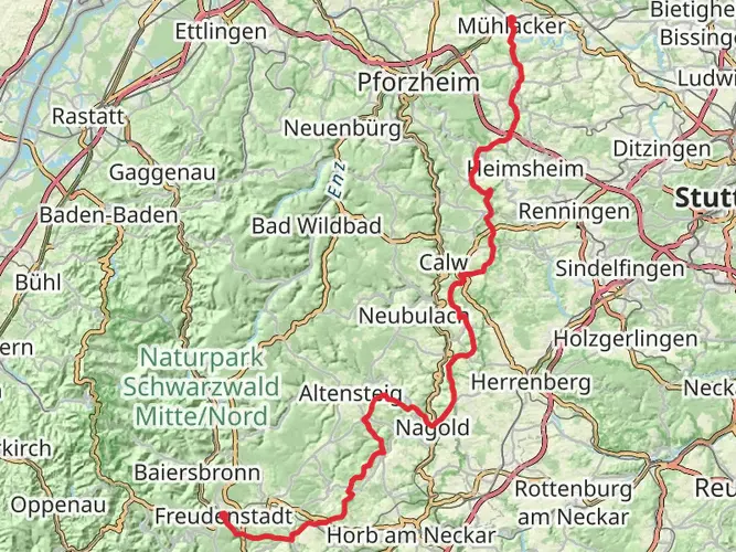
143.2 km
~6 days
2456 m
Multi-Day
“Embark on the Neckar-Baar-Jakobusweg to discover Germany's historical wonders woven into its enchanting, diverse landscapes.”
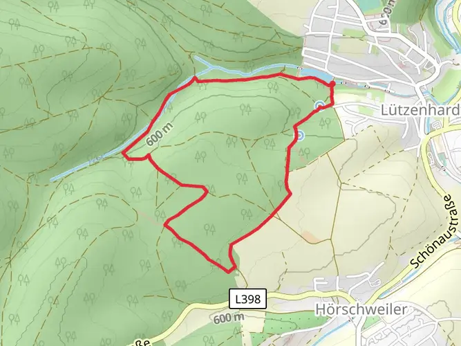
The Neckar-Baar-Jakobusweg is a captivating journey through the scenic landscapes of Germany, stretching approximately 143 kilometers (about 89 miles) with an elevation gain of around 2400 meters (roughly 7874 feet). This point-to-point trail begins near the administrative community of Horb am Neckar, where hikers can immerse themselves in the natural beauty and historical richness of the region.
Getting to the Trailhead
To reach the starting point of the Neckar-Baar-Jakobusweg, hikers can utilize public transportation options such as trains and buses that service the Horb am Neckar area. For those driving, parking is available near the trailhead. It's advisable to use HiiKER to navigate to the exact starting location and to plan your journey with up-to-date transportation schedules and parking information.
Trail Experience
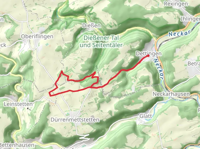
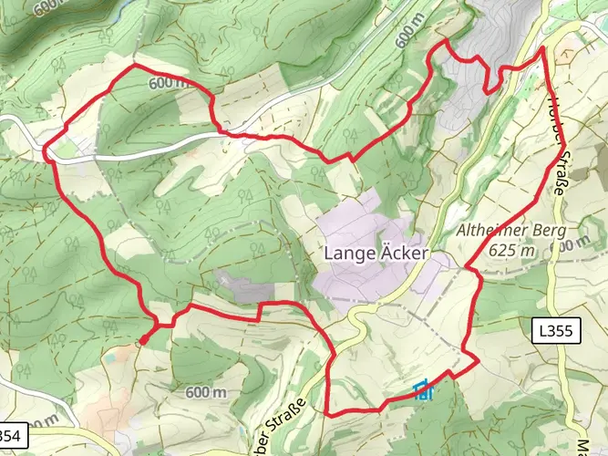
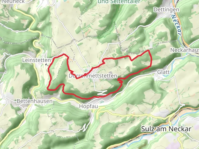
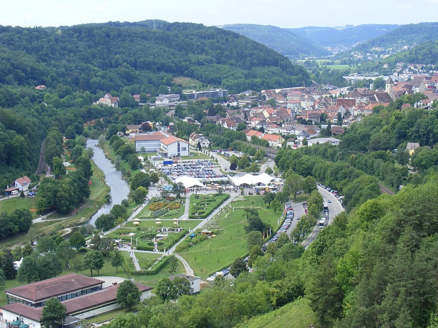
As you embark on the Neckar-Baar-Jakobusweg, you'll traverse a variety of landscapes including lush forests, rolling hills, and picturesque villages. The trail is well-marked, guiding hikers through the serene Neckar valley and up into the Baar plateau, offering panoramic views of the surrounding countryside.
Historical Significance
The region is steeped in history, with the trail itself being part of the larger network of pilgrimage routes leading to Santiago de Compostela in Spain. Along the way, you'll encounter historical landmarks such as ancient churches, monasteries, and chapels, some of which date back to the Middle Ages. These sites not only provide a glimpse into the past but also serve as tranquil spots for reflection and rest.
Wildlife and Nature
The Neckar-Baar-Jakobusweg is a haven for nature enthusiasts. The diverse habitats along the trail support a variety of wildlife, including deer, foxes, and numerous bird species. The changing seasons bring different flora to life, with spring and summer boasting vibrant wildflowers, while autumn offers a display of rich, golden hues.
Trail Navigation and Preparation
Hikers should prepare for a medium difficulty trek, with some challenging sections that require a good level of fitness. It's recommended to carry a reliable navigation tool like HiiKER to stay on track and to be aware of upcoming elevation changes and trail intersections. Ensure you have adequate water, food, and weather-appropriate clothing, as conditions can vary, especially at higher elevations.
Accommodation and Resupply Points
The trail passes through various towns and villages where hikers can find accommodation ranging from guesthouses to inns. Resupply points for food and water are also available, making it possible to hike the trail in sections or to plan for overnight stays. It's wise to book accommodations in advance, especially during peak hiking seasons.
Conclusion
The Neckar-Baar-Jakobusweg offers a rich tapestry of natural beauty, historical intrigue, and cultural experiences. Whether you're a seasoned hiker or someone looking to explore the German countryside, this trail provides an opportunity to connect with nature and history while challenging yourself on a memorable trek.

Frequently asked questions
How long does the Neckar-Baar-Jakobusweg take to walk end to end?
The Neckar-Baar-Jakobusweg is 143.24 km long, so most hikers treat it as a multi-day pilgrimage rather than a single long hike. A common pace for a medium-difficulty route of this length is around 5 to 8 days, depending on daily mileage, lodging plans, and how much time is spent in towns such as Horb am Neckar and Villingen-Schwenningen.
Can the Neckar-Baar-Jakobusweg be done as a 3-day hike?
The Neckar-Baar-Jakobusweg can be done in 3 days, but it would be a demanding schedule. Covering 143.24 km in 3 days means averaging about 47.7 km per day, which is far beyond a typical walking pilgrimage pace, especially with 2,456 m of total ascent. For most walkers, splitting it into shorter stages is more realistic.
Where does the Neckar-Baar-Jakobusweg start and finish?
The Neckar-Baar-Jakobusweg starts in Horb am Neckar and runs southwest through the Neckar and Baar landscapes toward Villingen-Schwenningen. The route is part of the wider St. James network in southern Germany, and published route descriptions connect it onward beyond the HiiKER listing toward the Schaffhausen area.
Is the Neckar-Baar-Jakobusweg a difficult pilgrimage route?
The Neckar-Baar-Jakobusweg is generally a medium-difficulty long-distance walk. Over 143.24 km it gains 2,456 m in elevation, so the challenge comes more from sustained daily effort over several stages than from technical mountain terrain. It suits walkers with decent fitness and some experience of back-to-back hiking days.
Can the Neckar-Baar-Jakobusweg be walked in stages?
Yes, the Neckar-Baar-Jakobusweg is well suited to stage walking. It is a point-to-point multi-day route, and stage listings for this trail begin at Horb Unterer Marktplatz, Flößerwasen in Horb and run toward Villingen-Schwenningen, making it practical to break the walk into shorter pilgrimage days rather than tackling all 143.24 km at once.
Is the Neckar-Baar-Jakobusweg one of the pilgrimage routes in southern Germany?
Yes. The Neckar-Baar-Jakobusweg is one of the St. James pilgrimage routes in southern Germany, linking Horb am Neckar with the Neckar valley and the Baar region. It also connects with other named Jakobsweg routes around Horb, Rottweil, and Villingen, which is why it is often considered as part of a longer Camino-style journey through Baden-Württemberg.
Comments and Reviews
User comments, reviews and discussions about the Neckar-Baar-Jakobusweg, Germany.
4.63
average rating out of 5
8 rating(s)