The best hikes in St. Wendel
Germany · 40 HiiKER Hikes
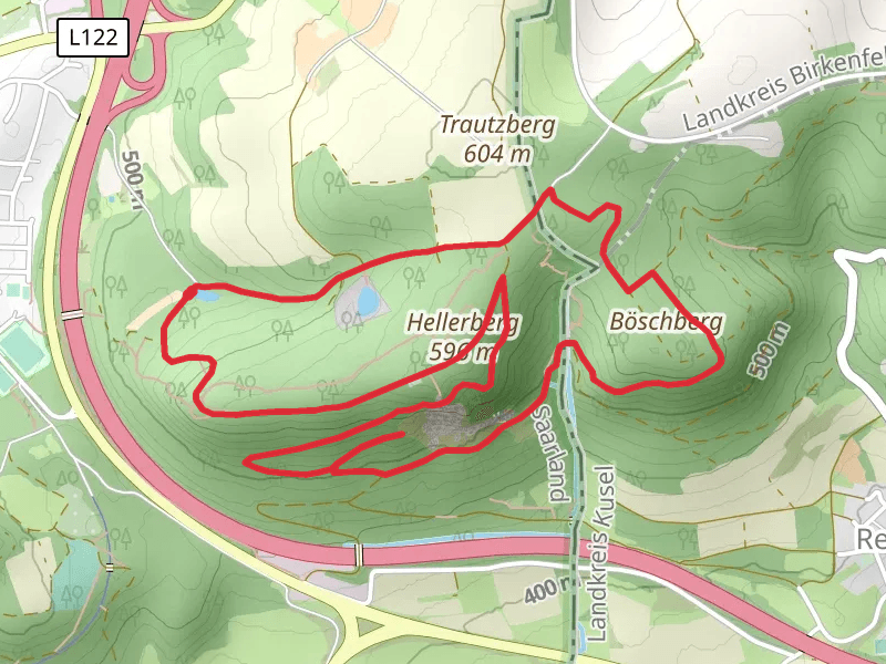
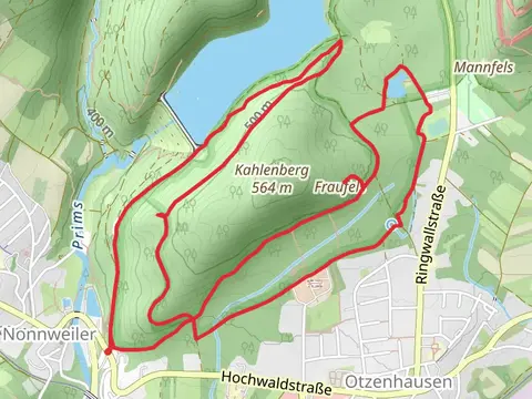
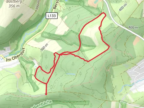
View Hikes on map
What to expect
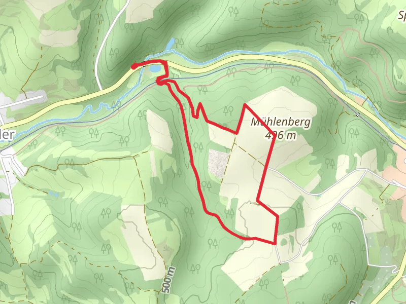
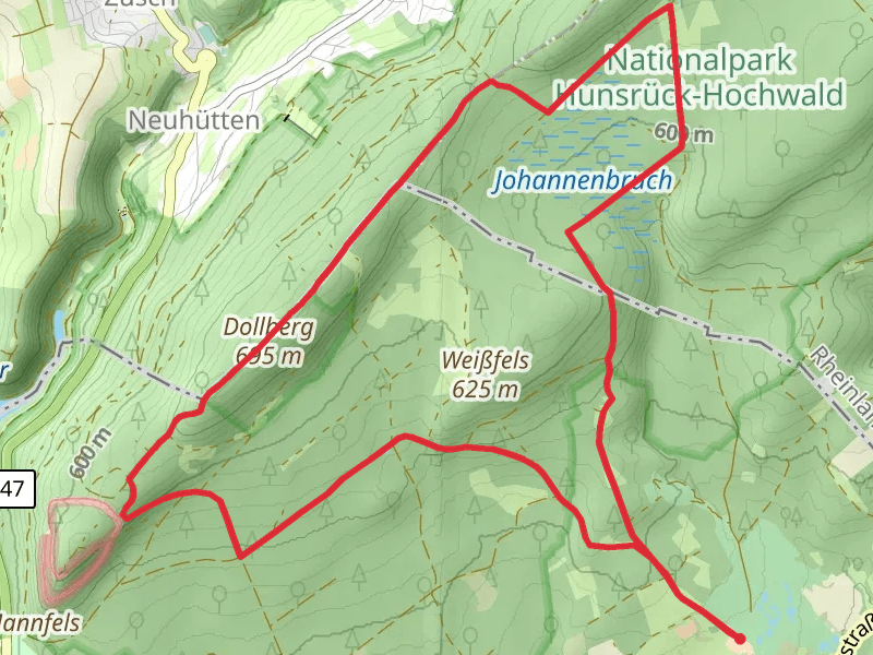
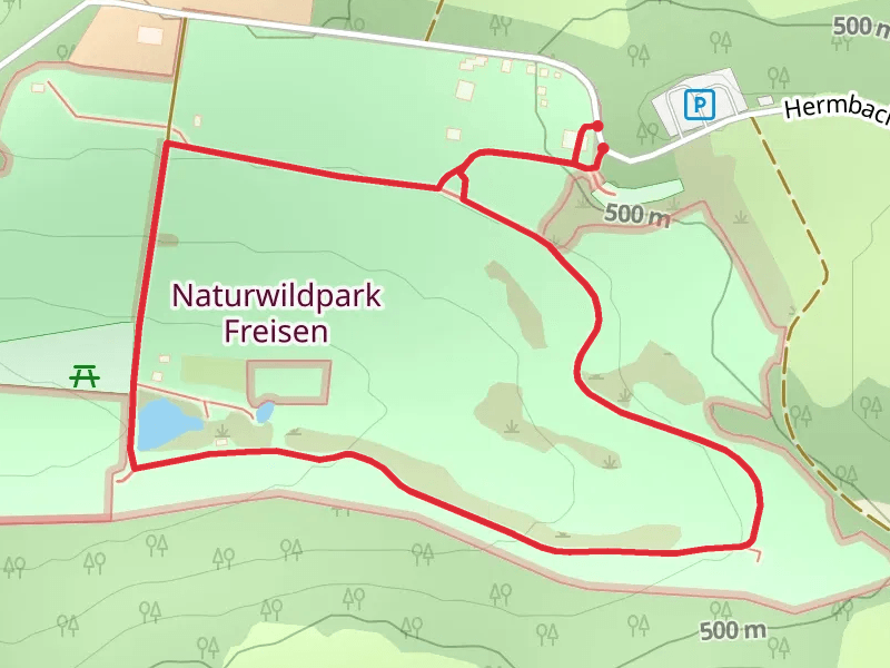
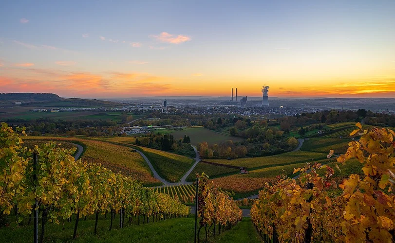
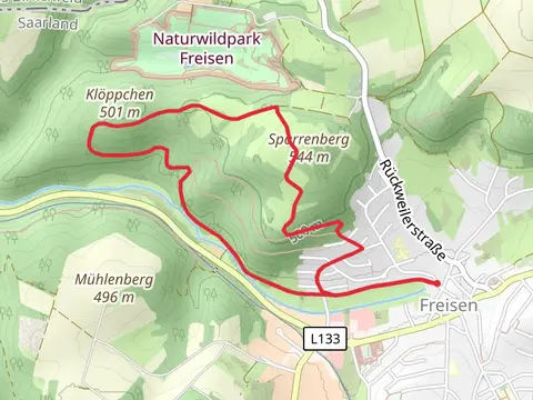
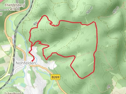
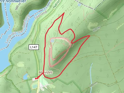
Check out some of the best hiking, walking and backpacking routes in St. Wendel, Germany. The Jakobsweg St Wendel - Saarbrücken is the most popular trail. The trails have 115 user reviews with great photos and information. There are trails of various difficulty levels including easy and medium. The trail with the highest elevation climb is the Nonnweiler to Börfink via Dollberg and Saar Hunsruck Steig and the trail with the least amount of climbing is the Wendelinuspark Loop. The longest trail is the Jakobsweg St Wendel - Saarbrücken at 59.9 km. For a shorter adventure you can try the Naturwildpark Freisen Loop at 1.5 km. Get off line access to parking, Restaurant, Peak, and Shelter locations and much more with a Hiiker subscription.

Be prepared for hiking in Germany with the HiiKER app