The best hikes in Rottweil
Germany · 23 HiiKER Hikes
View Hikes on map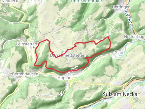
What to expect
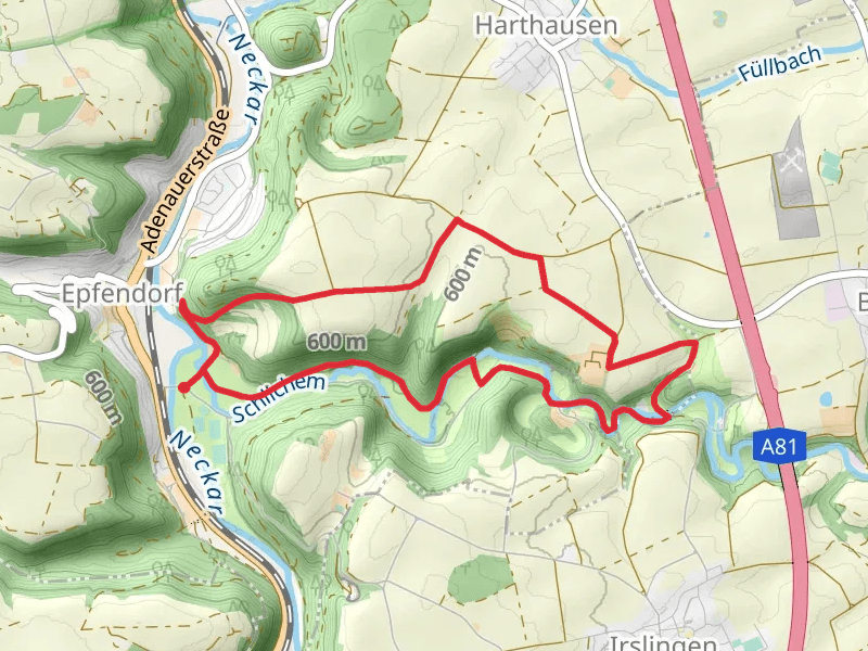
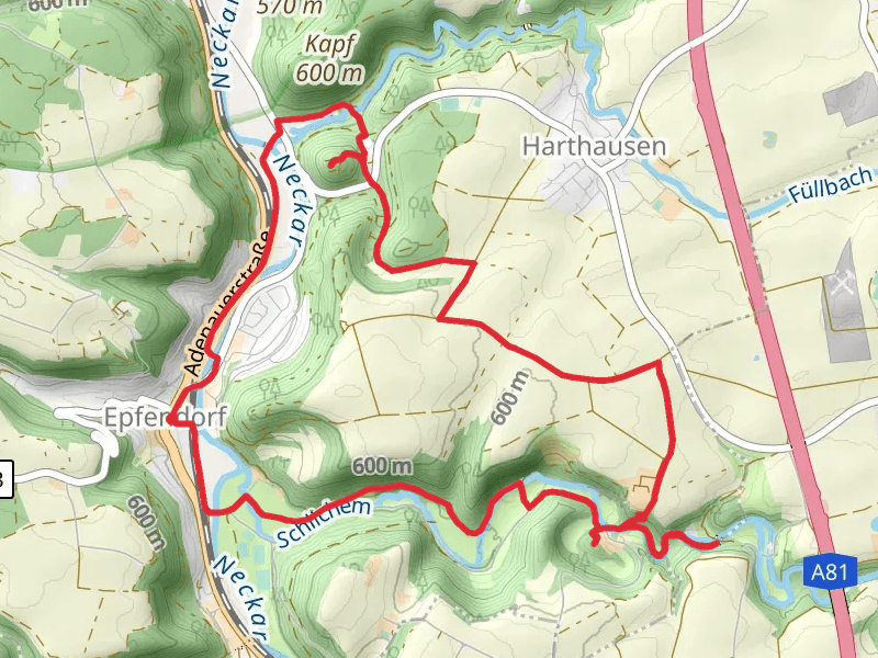
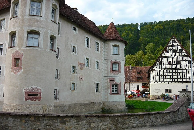
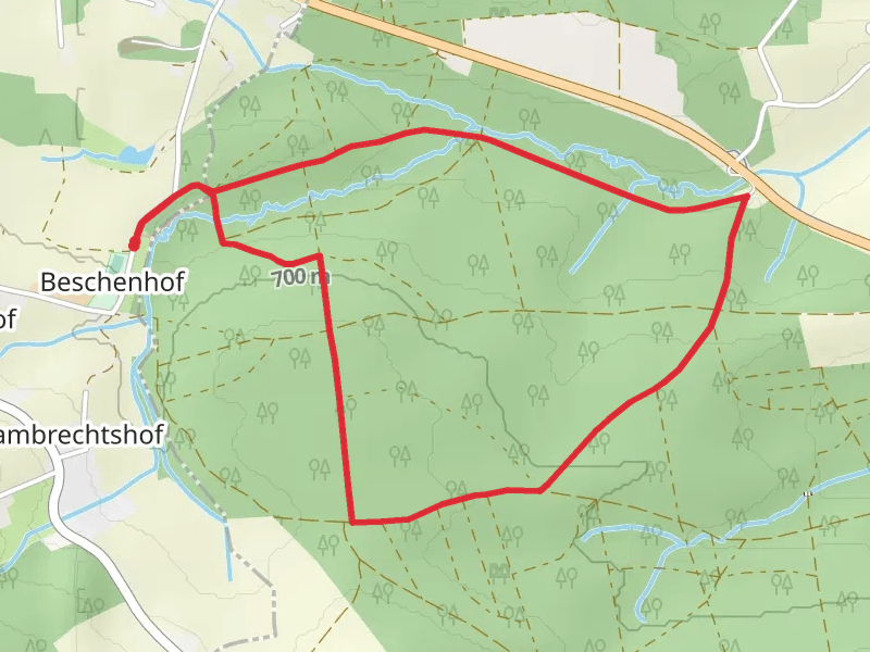
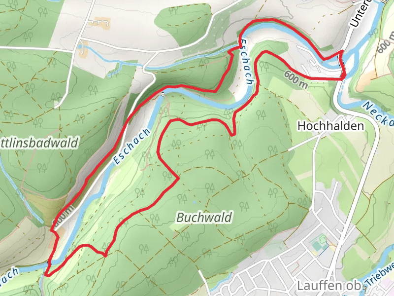
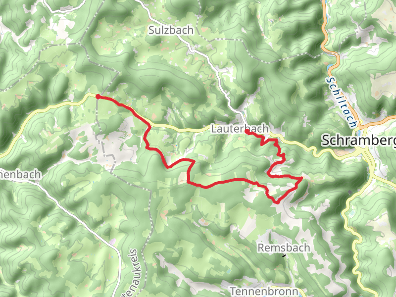
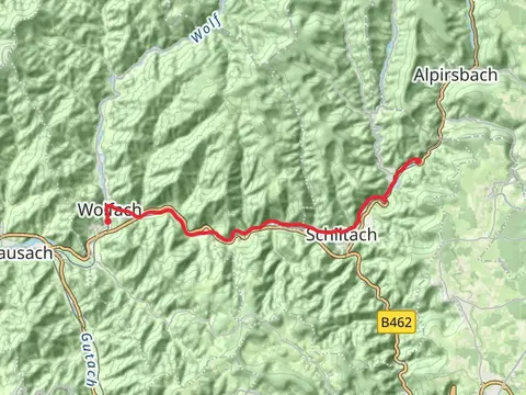
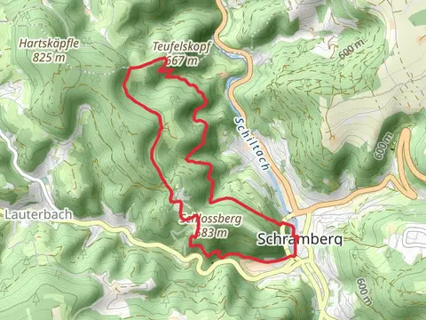
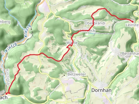
Check out some of the best hiking, walking and backpacking routes in Rottweil, Germany. The Ruine Bernbeck and Ruine Ramstein Loop is the most popular trail. The trails have 71 user reviews with great photos and information. There are trails of various difficulty levels including easy, medium, and difficult. The trail with the highest elevation climb is the Lauterbach to Fohrenbühl Walk via Storzenhof and the trail with the least amount of climbing is the Schenkenzell to Wolfach Walk. The longest trail is the Durrenmettstetten Loop at 17.3 km. For a shorter adventure you can try the Stückenbuhl Loop at 4.3 km. Get off line access to Restaurant, information, parking, and Shelter locations and much more with a Hiiker subscription.

Be prepared for hiking in Germany with the HiiKER app