The best hikes in Kreis Euskirchen
Germany · 115 HiiKER Hikes
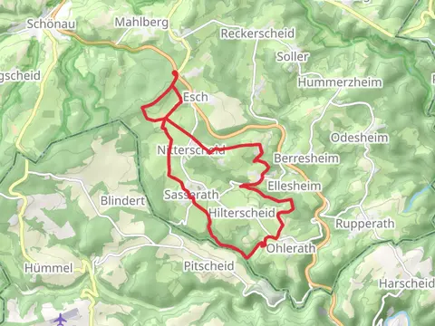
View Hikes on map
What to expect
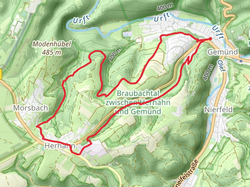
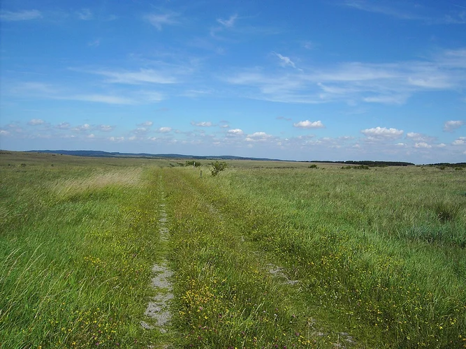
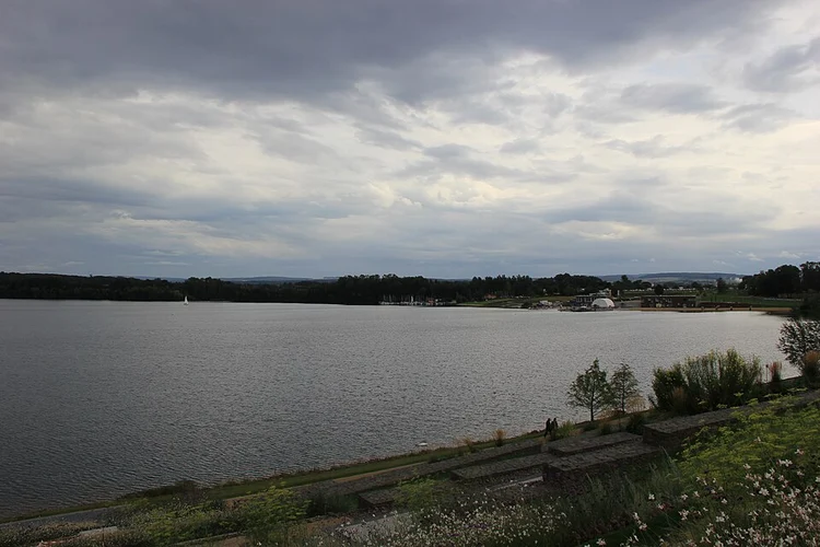
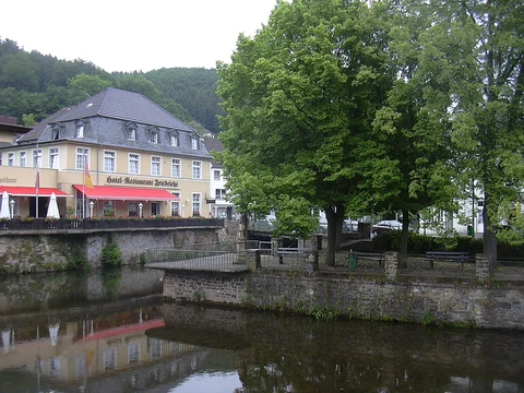
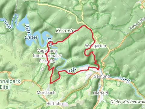
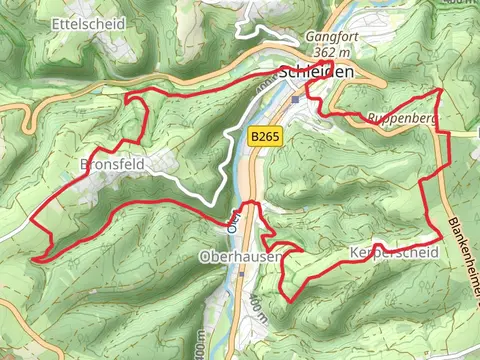
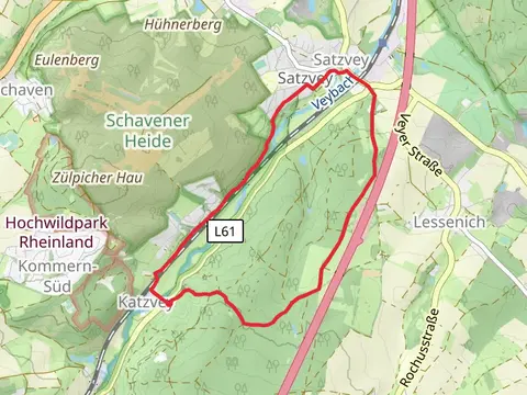
Check out some of the best hiking, walking and backpacking routes in Kreis Euskirchen, Germany. The Eifeler Quellenpfad is the most popular trail. The trails have 297 user reviews with great photos and information. There are trails of various difficulty levels including easy and medium. The trail with the highest elevation climb is the Eifelschleife Loop and the trail with the least amount of climbing is the Villewaelder via Swister Pfad. The longest trail is the Römerkanal-Wanderweg at 116.0 km. For a shorter adventure you can try the Johannes-Sturmius Park and Olef via Rur Olef Route at 1.4 km. Get off line access to information, parking, Town, and Shelter locations and much more with a Hiiker subscription.

Be prepared for hiking in Germany with the HiiKER app