Download
3D Flyover
Add to list
More
11.6 km
~2 hrs 28 min
87 m
Loop
“Explore the scenic, historical Neckar via Oberboihinger Rundweg, a 12 km accessible loop near Esslingen.”
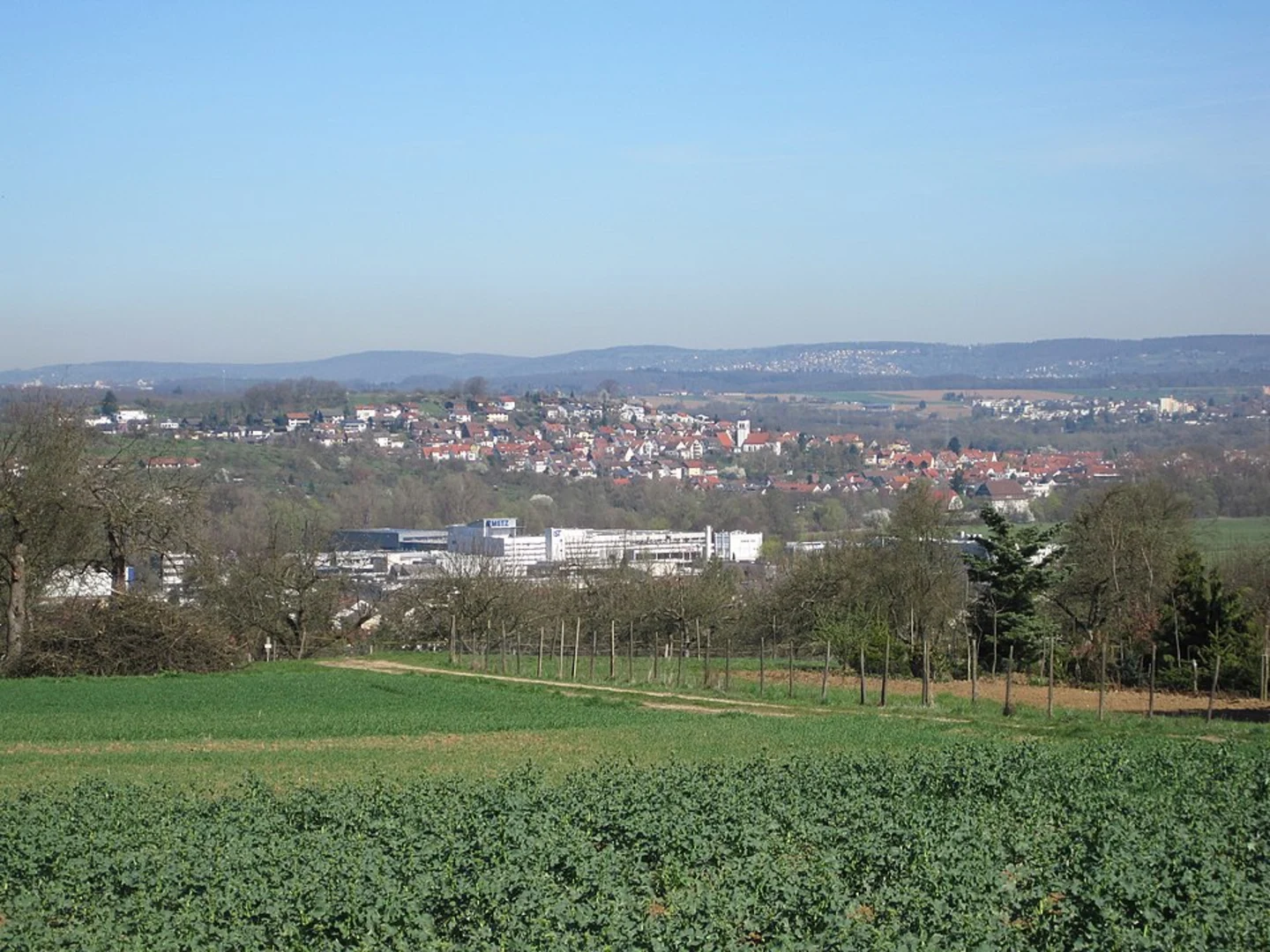
Starting near the charming town of Esslingen, Germany, the Neckar via Oberboihinger Rundweg is a delightful 12 km (7.5 miles) loop trail with no significant elevation gain, making it accessible for hikers of varying skill levels. The trailhead is conveniently located near Esslingen, a town renowned for its medieval architecture and historical significance.
Getting There
To reach the trailhead, you can either drive or use public transport. If you're driving, Esslingen is well-connected by road and offers ample parking options. For those using public transport, Esslingen is accessible via regional trains from Stuttgart. From the Esslingen train station, local buses can take you closer to the trailhead.
Trail Overview
The trail meanders through a picturesque landscape, offering a mix of natural beauty and cultural landmarks. As you set off, you'll traverse through lush meadows and dense woodlands, providing a serene backdrop for your hike. The trail is well-marked, but it's always a good idea to have a reliable navigation tool like HiiKER to ensure you stay on track.
Points of Interest
Oberboihingen Village
Approximately 4 km (2.5 miles) into the hike, you'll come across the quaint village of Oberboihingen. This village is a perfect spot to take a short break and explore. The local architecture, with its traditional Swabian houses, offers a glimpse into the region's cultural heritage.
Neckar River
One of the highlights of this trail is its proximity to the Neckar River. Around the halfway mark, you'll find yourself walking alongside this serene river. The Neckar is not just a natural wonder but also a historical waterway that has been vital for trade and transportation in the region for centuries.
Flora and Fauna
The trail is a haven for nature enthusiasts. Depending on the season, you might encounter a variety of wildflowers, including orchids and lilies. The woodlands are home to diverse wildlife such as deer, foxes, and a variety of bird species. Keep your eyes peeled for the European green woodpecker, a common sight in these parts.
Historical Significance
Esslingen itself is steeped in history, dating back to the Roman era. The town's well-preserved medieval architecture, including the Esslingen Castle and the Church of St. Dionys, adds a historical dimension to your hiking experience. The trail also passes by several old mills and farmhouses, offering a glimpse into the region's agricultural past.
Practical Tips
- Footwear: Given the relatively flat terrain, comfortable walking shoes should suffice.
- Weather: Check the weather forecast before heading out. The trail can get muddy after rain.
- Supplies: Carry enough water and snacks, especially if you plan to take breaks and explore the villages along the way.
- Navigation: Use HiiKER for real-time navigation and to stay updated on any trail changes.
This trail offers a balanced mix of natural beauty, cultural landmarks, and historical significance, making it a rewarding experience for any hiker.

What to expect?
Activity types
Comments and Reviews
User comments, reviews and discussions about the Neckar via Oberboihinger Rundweg, Germany.
5.0
average rating out of 5
1 rating(s)