HexaTrek trail stages
stage 121
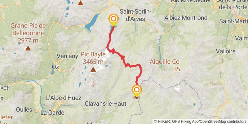
Starting at: Saint-Jean-de-Maurienne, Savoy, 73530
Ending at: La Cabanote, Mizoën, Isère, 38142
Distance: 23.0 km
Elevation gain: 1555 m
Duration: 07:10:52
stage 122
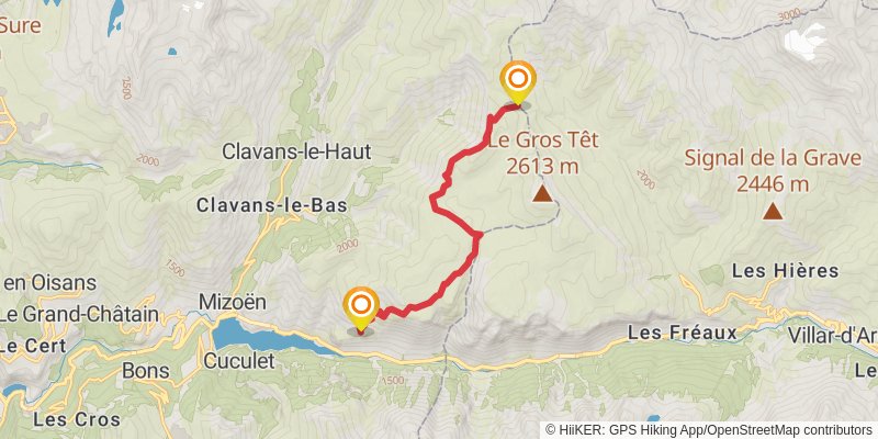
Starting at: Grenoble, Isère, 38142
Ending at: Refuge des Clots, Mizoën, Isère, 38142
Distance: 10.7 km
Elevation gain: 441 m
Duration: 02:51:59
stage 123
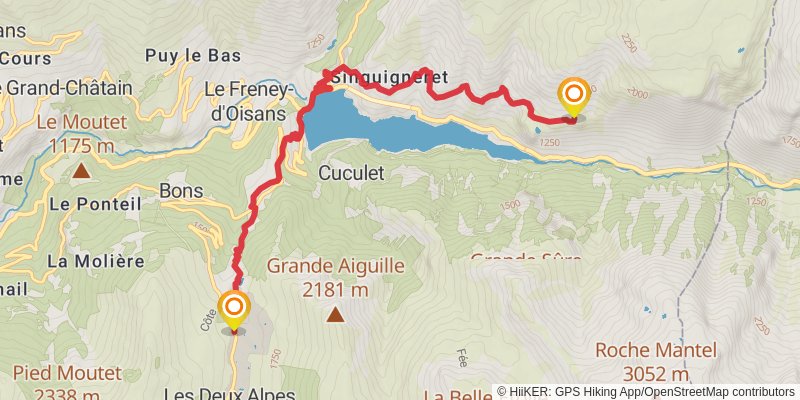
Starting at: Grenoble, Isère, 38142
Ending at: Vallée Blanche, Mont-de-Lans, Isère, 38860
Distance: 10.3 km
Elevation gain: 1018 m
Duration: 03:45:05
stage 124
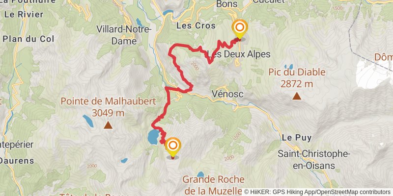
Starting at: Grenoble, Isère, 38860
Ending at: Camp spot, Le Bourg-d'Oisans, Isère, 38520
Distance: 19.1 km
Elevation gain: 2380 m
Duration: 07:47:33
stage 125
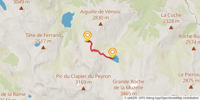
stage 126
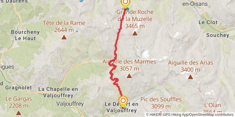
Starting at: Grenoble, Isère, 38520
Ending at: Valjouffrey, Isère, 38740
Distance: 16.8 km
Elevation gain: 1590 m
Duration: 06:00:40
stage 127
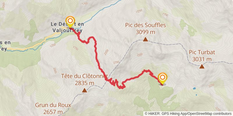
stage 128
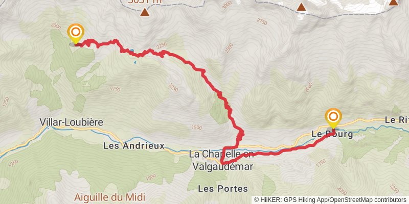
stage 129
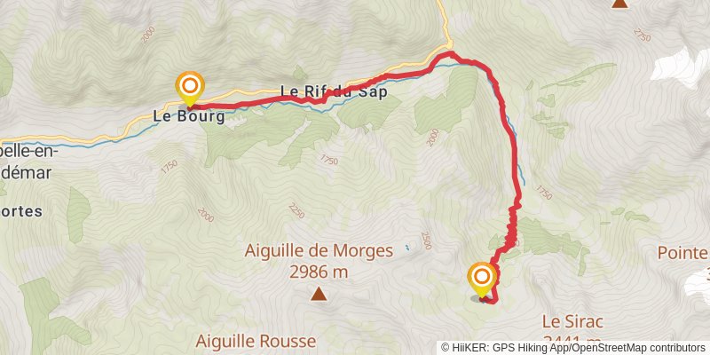
Starting at: La Chapelle-en-Valgaudémar, Saint-Firmin, 05800
Distance: 10.9 km
Elevation gain: 1315 m
Duration: 04:21:58
stage 130
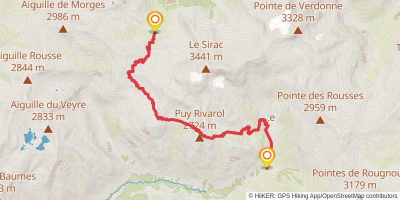
stage 131
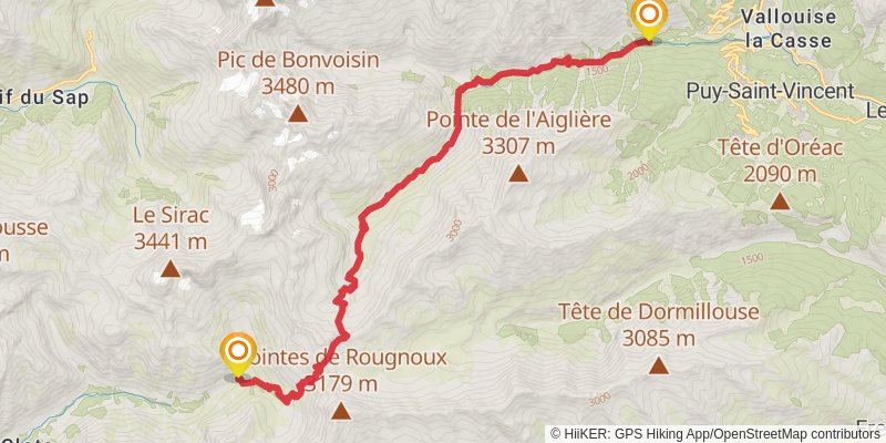
Starting at: Gap, Hautes-Alpes, 05260
Ending at: Vallouise-Pelvoux, Hautes-Alpes, 05290
Distance: 21.1 km
Elevation gain: 1337 m
Duration: 06:26:42
stage 132
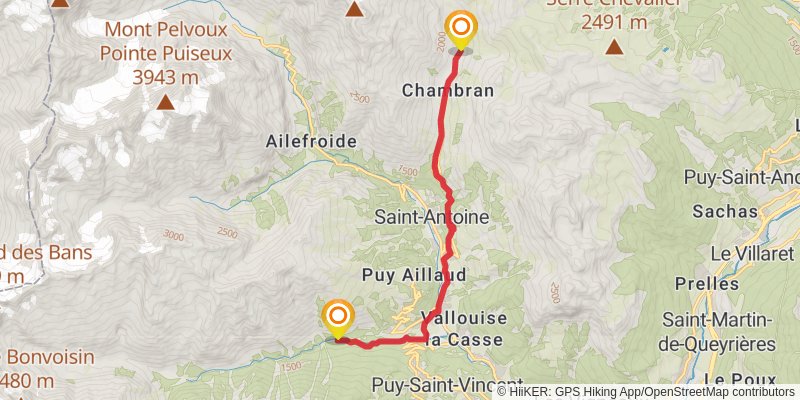
Starting at: Briançon, Vallouise-Pelvoux, Hautes-Alpes, 05290
Ending at: Vallouise-Pelvoux, Hautes-Alpes, 05340
Distance: 11.7 km
Elevation gain: 766 m
Duration: 03:37:18
stage 133
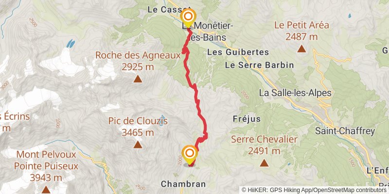
Starting at: Briançon, Vallouise-Pelvoux, Hautes-Alpes, 05340
Ending at: Le Monêtier-les-Bains, Le Monêtier-les-Bains
Distance: 12.0 km
Elevation gain: 801 m
Duration: 03:43:52
stage 134
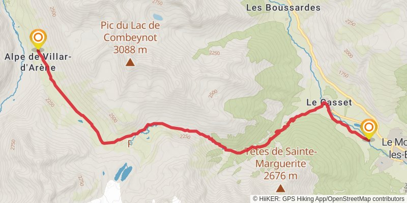
Starting at: Le Monêtier-les-Bains, Le Monêtier-les-Bains
Distance: 12.4 km
Elevation gain: 952 m
Duration: 04:03:26
stage 135
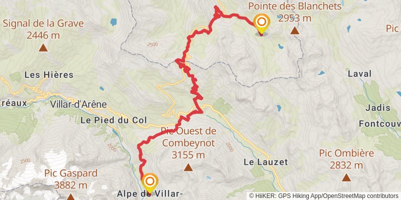
Starting at: Briançon, Hautes-Alpes, 05480
Distance: 23.8 km
Elevation gain: 1625 m
Duration: 07:28:33
stage 136
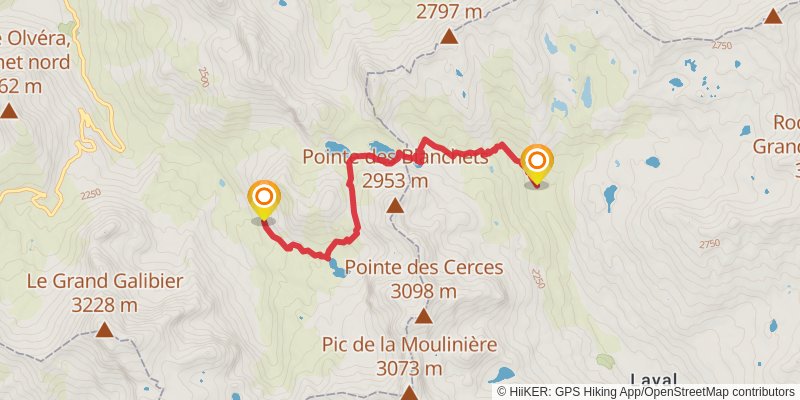
Starting at: Saint-Jean-de-Maurienne, Savoy, 73450
Distance: 6.6 km
Elevation gain: 365 m
Duration: 01:55:19
stage 137
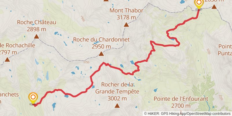
Starting at: Briançon, Hautes-Alpes, 05100
Distance: 14.1 km
Elevation gain: 1098 m
Duration: 04:38:24
stage 138
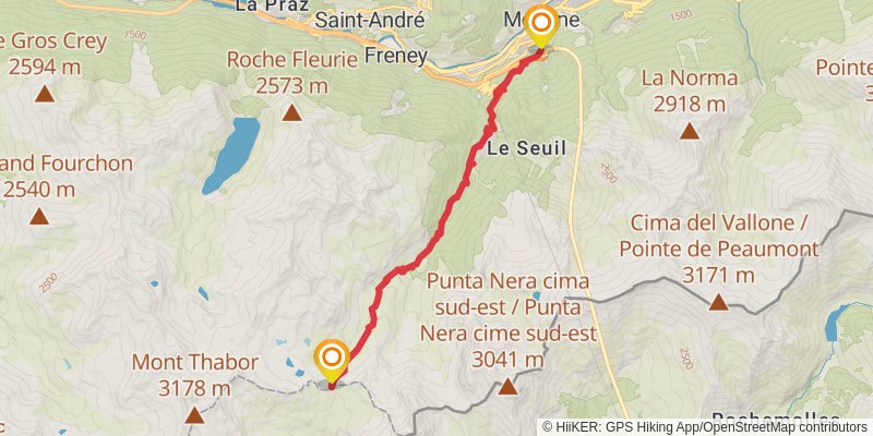
Starting at: Saint-Jean-de-Maurienne, Savoy, 73500
Ending at: Modane, Modane
Distance: 12.9 km
Elevation gain: 220 m
Duration: 02:57:03
stage 139
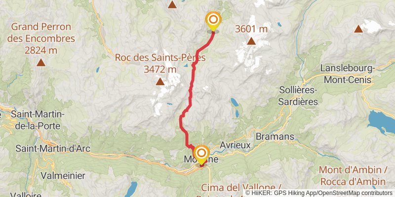
stage 140
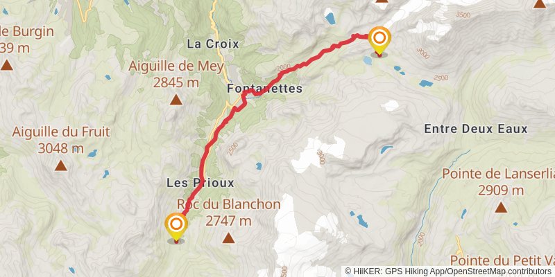
stage 141
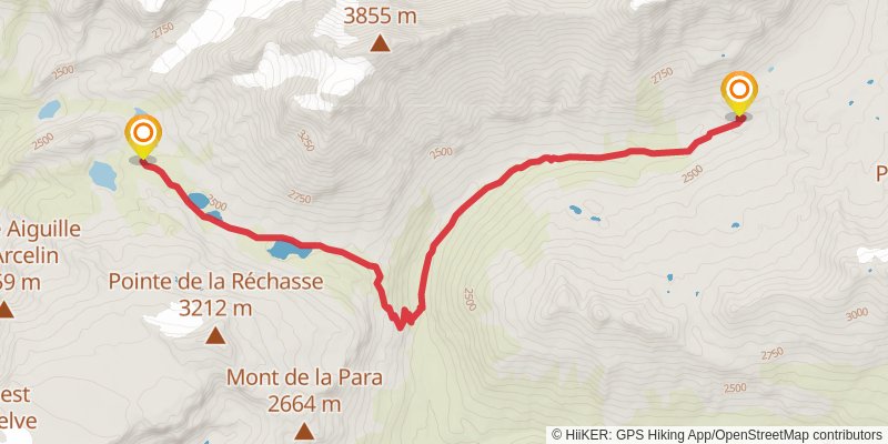
Starting at: Albertville, Savoy, 73710
Ending at: Refuge de la Leisse, Termignon, Savoy, 73500
Distance: 10.3 km
Elevation gain: 466 m
Duration: 02:50:39
stage 142
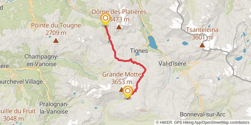
Starting at: Saint-Jean-de-Maurienne, Savoy, 73500
Ending at: Peisey-Nancroix, Aime
Distance: 20.1 km
Elevation gain: 907 m
Duration: 05:32:24
stage 143
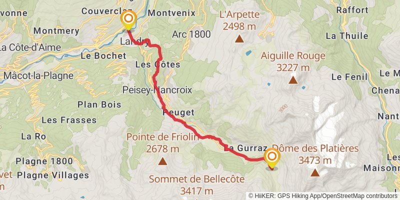
Starting at: Albertville, Savoy, 73210
Ending at: Landry, Aime, 73210
Distance: 14.4 km
Elevation gain: 291 m
Duration: 03:22:06
stage 144
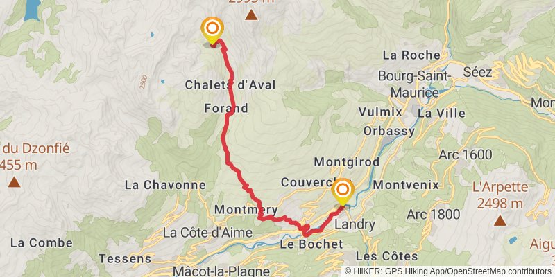
stage 145
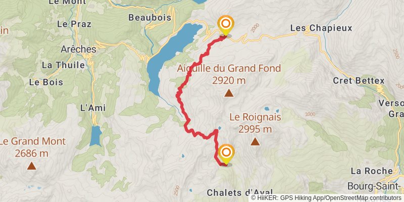
Starting at: Albertville, La Plagne-Tarentaise, Savoy, 73210
Ending at: Beaufort, Beaufort, 73270
Distance: 13.2 km
Elevation gain: 1005 m
Duration: 04:19:25
stage 146
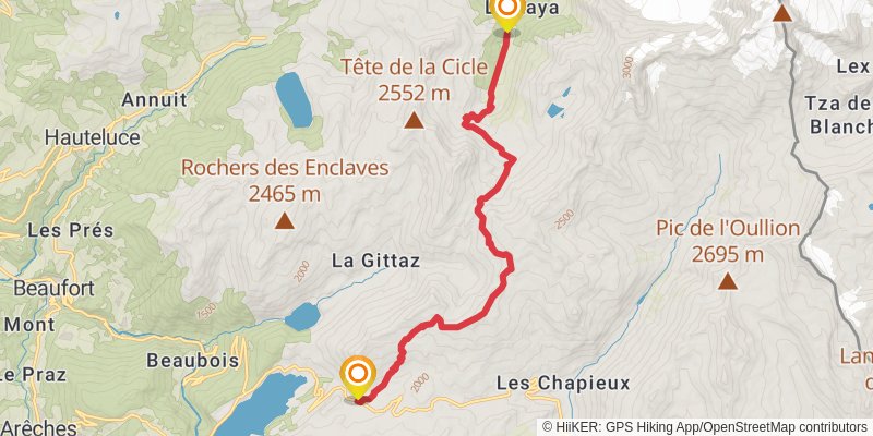
stage 147
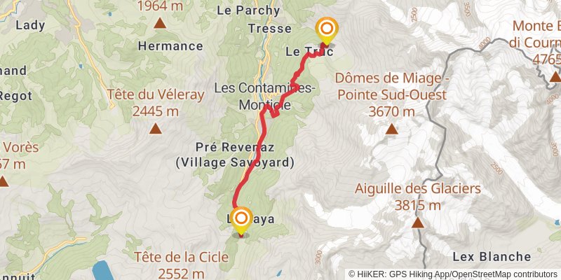
Starting at: Bonneville, Upper Savoy, 74170
Distance: 11.0 km
Elevation gain: 694 m
Duration: 03:20:48
stage 148
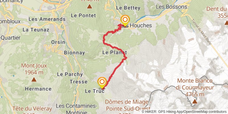
Starting at: Bonneville, Upper Savoy, 74170
Ending at: Les Houches, Upper Savoy, 74310
Distance: 12.4 km
Elevation gain: 836 m
Duration: 03:52:08
stage 149
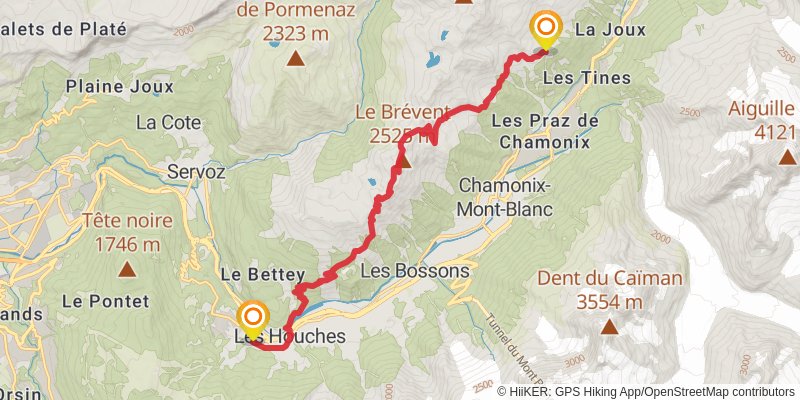
Starting at: Bonneville, Upper Savoy, 74310
Ending at: 433, Chamonix-Mont-Blanc, Upper Savoy, 74400
Distance: 17.9 km
Elevation gain: 2142 m
Duration: 07:08:41
stage 150
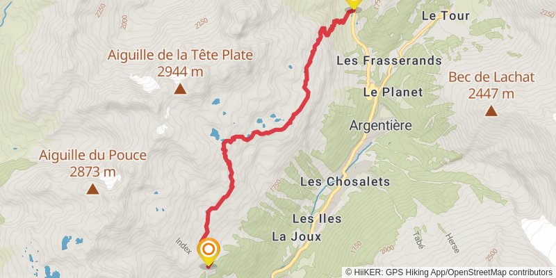
Starting at: Bonneville, Upper Savoy, 74400
Ending at: Chamonix-Mont-Blanc, Upper Savoy, 74400
Distance: 8.6 km
Elevation gain: 670 m
Duration: 02:50:16