Download
3D Flyover
Add to list
More
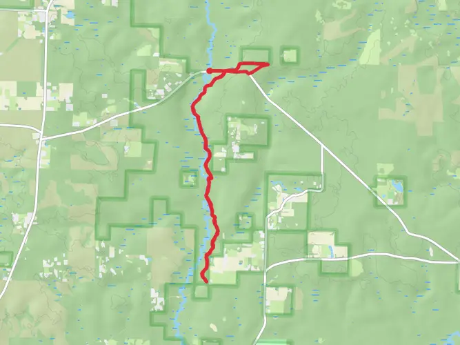
63.4 km
~3 days
436 m
Multi-Day
“Embark on a serene 63-kilometer hike through diverse Floridian ecosystems, steeped in history and rich with wildlife.”
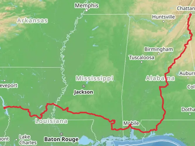
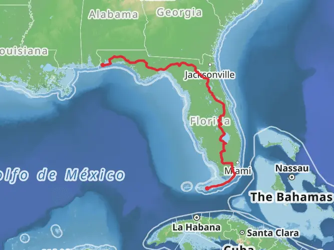
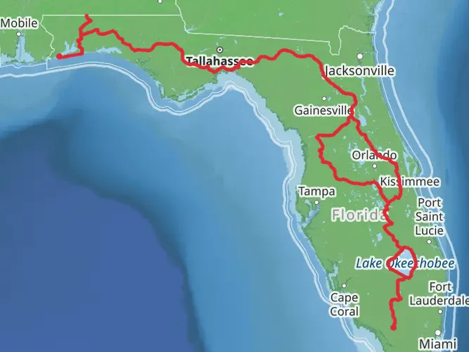
Spanning approximately 63 kilometers (about 39 miles) with an elevation gain of around 400 meters (roughly 1,300 feet), the Florida National Scenic Trail - Blackwater section offers an easy yet rewarding hiking experience. This point-to-point trail is nestled in the serene landscapes of Santa Rosa County, Florida, and is accessible from the trailhead near the city of Milton.
Getting to the Trailhead
To reach the starting point of the Blackwater section, hikers can drive to the Blackwater River State Forest, which is the nearest significant landmark. For those relying on public transportation, options may be limited, so it's advisable to check local transit resources for the latest schedules and routes that may get you close to the area. From there, a taxi or rideshare service could be used to reach the trailhead.
Navigating the Trail
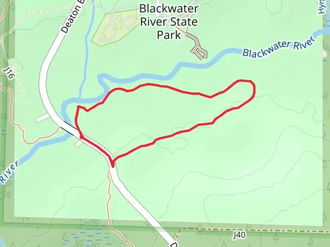
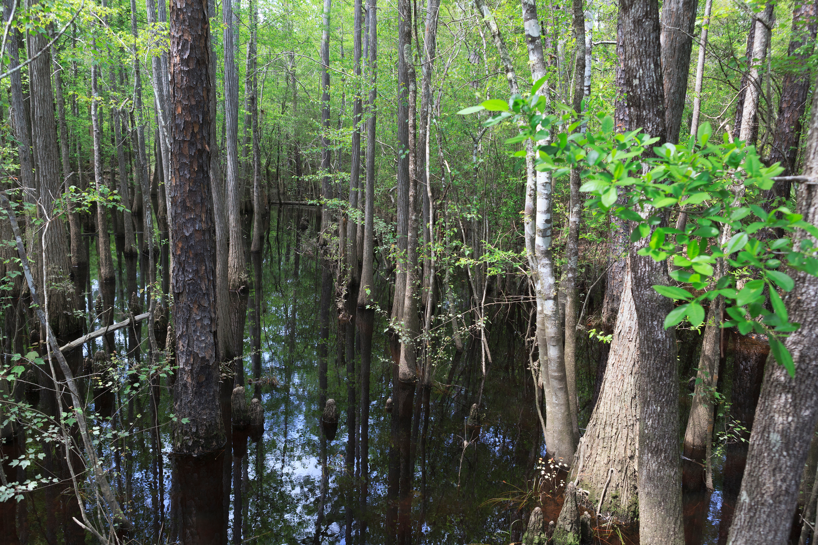
The trail is well-marked, and hikers can enhance their navigation by using the HiiKER app, which provides detailed maps and waypoints to ensure you stay on the right path. The trail meanders through a variety of ecosystems, including longleaf pine forests, cypress swamps, and wiregrass prairies, offering a diverse hiking experience.
Landmarks and Natural Features
As you embark on your journey, you'll encounter the winding Blackwater River, a pristine waterway that's a cornerstone of the region's natural beauty. The river is a popular spot for canoeing and fishing, and its sandy banks provide perfect spots for rest and reflection.
Further along the trail, the Krul Lake Recreation Area serves as a highlight, with its clear waters inviting hikers for a refreshing swim. This area also features picnic facilities and restrooms, making it an ideal stopover point.
Wildlife and Flora
The trail is a haven for wildlife enthusiasts. Keep an eye out for white-tailed deer, wild turkeys, and the elusive gopher tortoise. Birdwatchers will be delighted by the variety of species, including the red-cockaded woodpecker, a bird of conservation concern that makes its home in the longleaf pine forests.
The plant life along the trail is equally impressive, with blooming wildflowers in the spring and the rare pitcher plants, which are a unique sight in their boggy habitats.
Historical Significance
The region is steeped in history, with the Blackwater River playing a significant role in the transportation of timber during the logging boom in the late 19th and early 20th centuries. Hikers will pass by remnants of the old logging industry, including tramroads and milling sites, which serve as silent witnesses to the area's past.
Preparation and Planning
Before setting out, ensure you have adequate water and provisions, as the trail offers limited access to supplies. The Florida climate can be unpredictable, so prepare for both sun and rain. Insect repellent is a must-have due to the presence of mosquitoes, especially in the wetter areas of the trail.
Remember to leave no trace and respect the natural environment to preserve its beauty for future generations of hikers and wildlife.

What to expect?
Activity types
Comments and Reviews
User comments, reviews and discussions about the Florida National Scenic Trail - Blackwater, Florida.
4.75
average rating out of 5
4 rating(s)