Download
3D Flyover
Add to list
More
57.8 km
~2 days
145 m
Multi-Day
“Embark on a serene 58-kilometer journey through Florida's diverse ecosystems, teeming with wildlife and historical intrigue.”
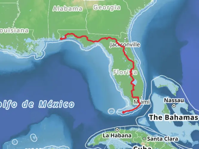
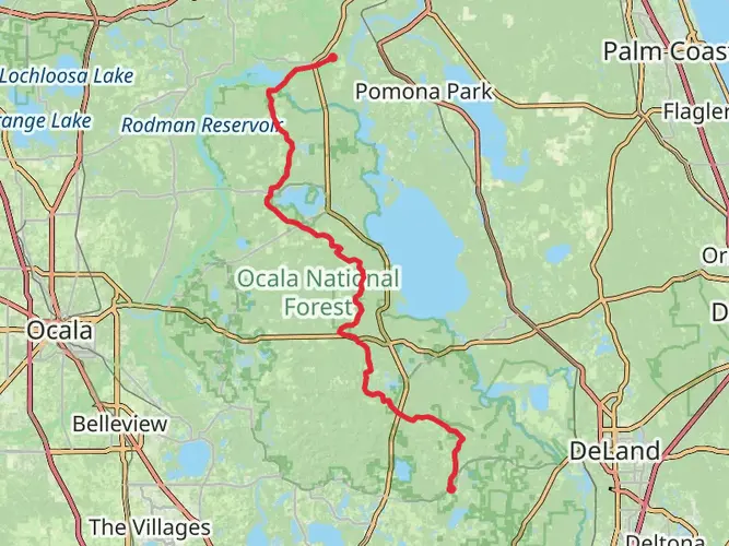
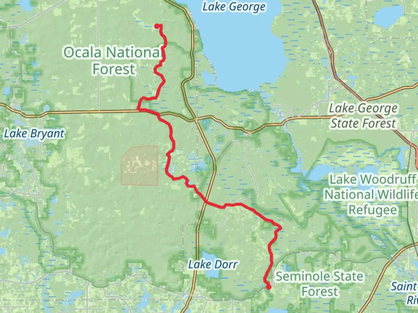
Spanning approximately 58 kilometers (36 miles) with a modest elevation gain of around 100 meters (328 feet), the Florida National Scenic Trail - Ocala South section offers an easy, yet rewarding hiking experience. This point-to-point trail is nestled in the heart of Florida, beginning near Marion County, and is known for its unique landscapes and diverse ecosystems.
Getting to the Trailhead
To reach the starting point of the Ocala South section, hikers can drive to the trailhead located near Marion County, Florida. For those relying on public transportation, options may be limited, so it's advisable to check local transit resources for the latest schedules and routes that can get you as close as possible to the trailhead. Once at the starting point, you can expect a journey through a variety of habitats, including longleaf pine forests and palmetto prairies.
Trail Experience
As you embark on the trail, you'll traverse the rolling sandhills that are characteristic of this region. The path is well-marked and maintained, making navigation straightforward. For additional support, hikers can use the HiiKER app to access detailed maps and GPS coordinates to ensure they stay on the right path.
The first section of the trail will take you through dense pine forests, where the canopy provides ample shade, making it a pleasant hike even on warmer days. Keep an eye out for the diverse wildlife that inhabits this area, such as white-tailed deer, gopher tortoises, and a variety of bird species, including the red-cockaded woodpecker.
Points of Interest and Landmarks
As you continue, you'll come across several points of interest. One of the highlights is the passage through the Juniper Prairie Wilderness, an area that showcases the raw beauty of the Ocala National Forest. Here, the landscape opens up to reveal stunning prairies dotted with juniper and oak trees.
Further along the trail, you'll encounter the historic Yearling Trail, named after Marjorie Kinnan Rawlings' novel "The Yearling." This area offers a glimpse into the past with its old homestead sites and tells the story of the early settlers' life in the Florida wilderness.
Flora and Fauna
The trail's diverse habitats support a rich array of flora. You'll see a variety of wildflowers, including the endemic scrub morning glory and the strikingly beautiful Florida rosemary. The trail also winds through several wetland areas, where you may spot the occasional alligator basking in the sun or hear the chorus of frogs after a rain.
Preparation and Safety
Before setting out, ensure you have enough water, as sources along the trail can be scarce, especially during the drier months. Sun protection is also crucial, as some sections offer little shade. As with any hike, it's wise to check the weather forecast and be prepared for sudden changes in conditions.
Conclusion
The Florida National Scenic Trail - Ocala South is a journey through one of Florida's most enchanting landscapes. With its easy terrain and rich biodiversity, it's a trail that can be enjoyed by hikers of all skill levels. Whether you're interested in the area's history, its wildlife, or simply the tranquility of the great outdoors, this trail offers a memorable experience in the Sunshine State.

Comments and Reviews
User comments, reviews and discussions about the Florida National Scenic Trail - Ocala South, Florida.
4.36
average rating out of 5
14 rating(s)