The best hikes in Clay County
Florida · 11 HiiKER Hikes
View Hikes on map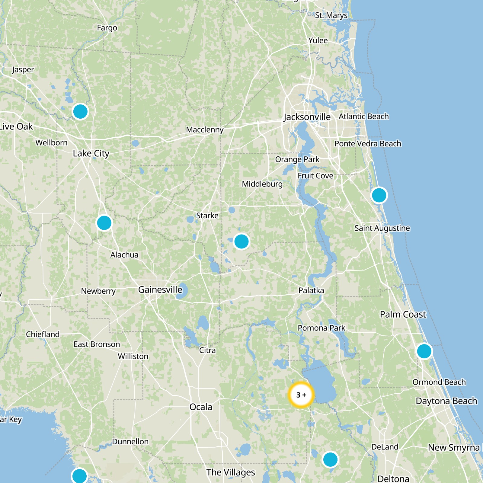

What to expect
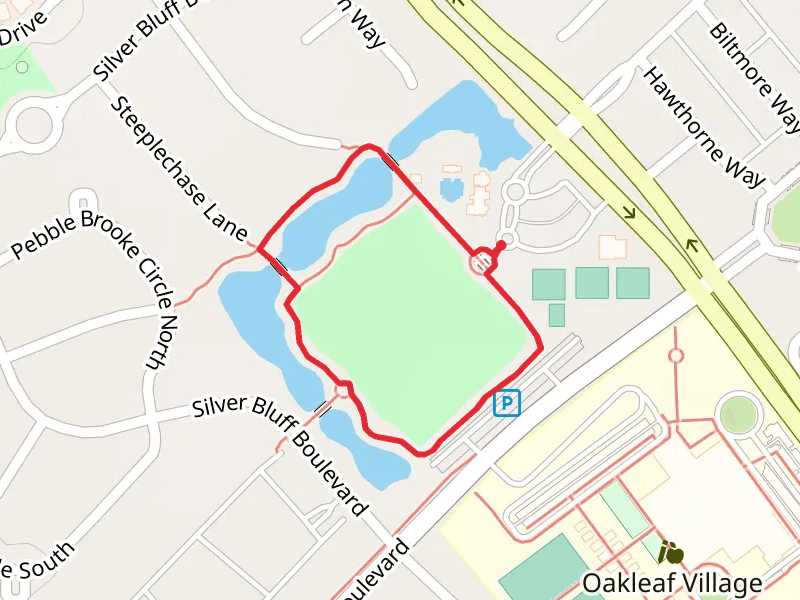
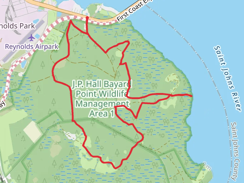
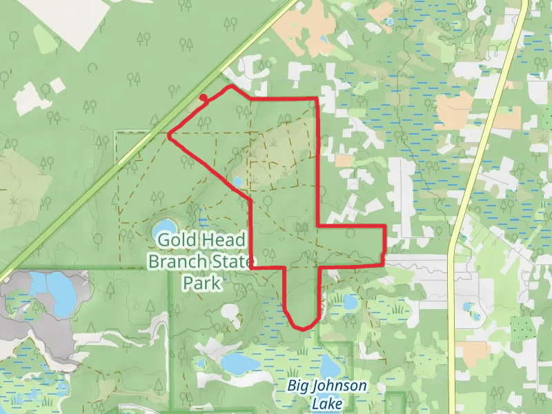
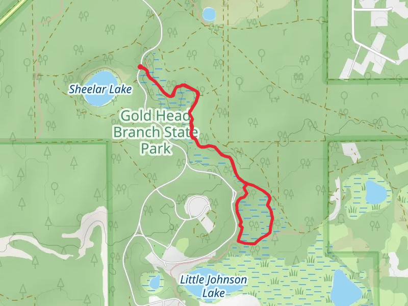
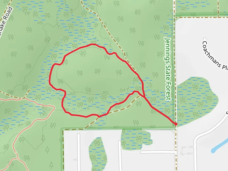
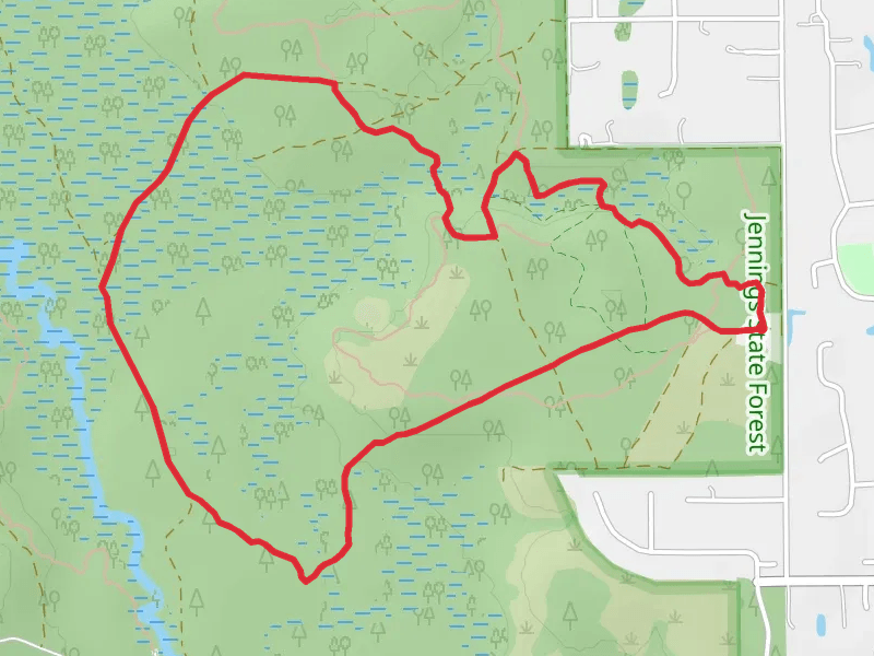
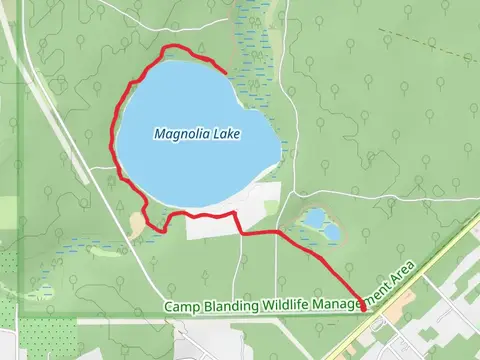
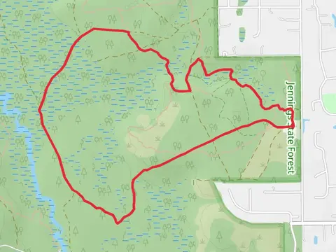
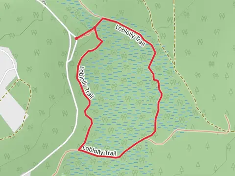
Check out some of the best hiking, walking and backpacking routes in Clay County, Florida. The Old Jennings Recreation Area Loop is the most popular trail. The trails have 295 user reviews with great photos and information. The trail with the highest elevation climb is the Mike Roess Gold Head Branch State Park Loop and the trail with the least amount of climbing is the Bayard Wildlife Management Area Loop. The longest trail is the Black Creek Trail at 25.3 km. For a shorter adventure you can try the Oakleaf Village Parkway Loop at 966 m. Get off line access to Restaurant, Fastfood, Shop, and Shelter locations and much more with a Hiiker subscription.

Be prepared for hiking in Florida with the HiiKER app