The best hikes in Staffordshire
England · 381 HiiKER Hikes
View Hikes on map
What to expect
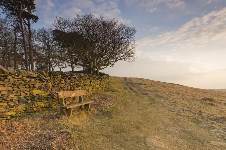
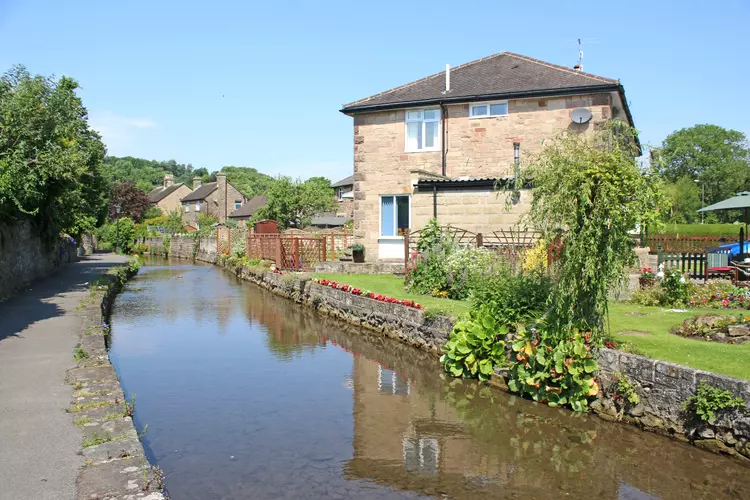
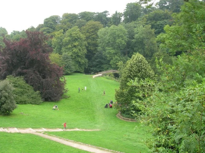
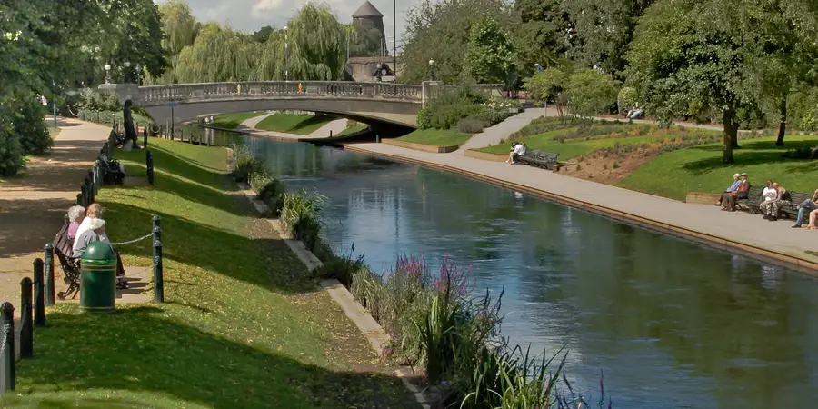
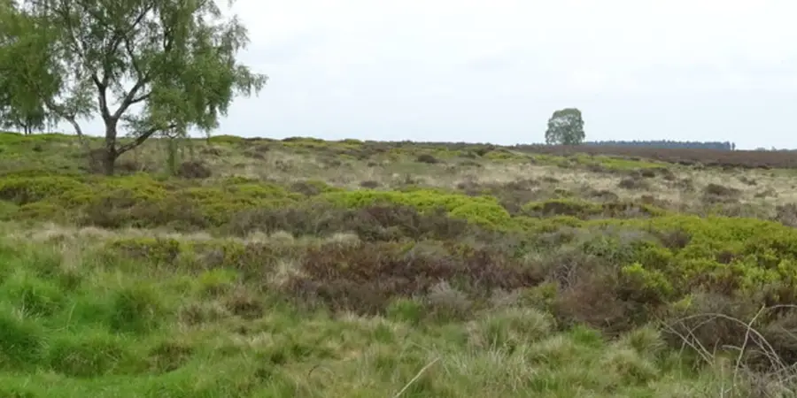
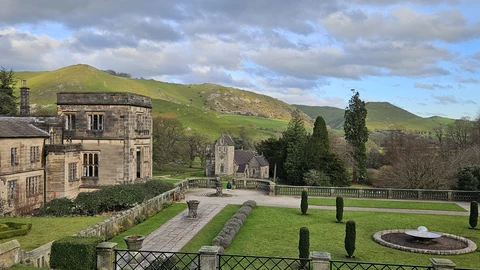
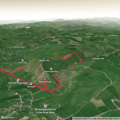
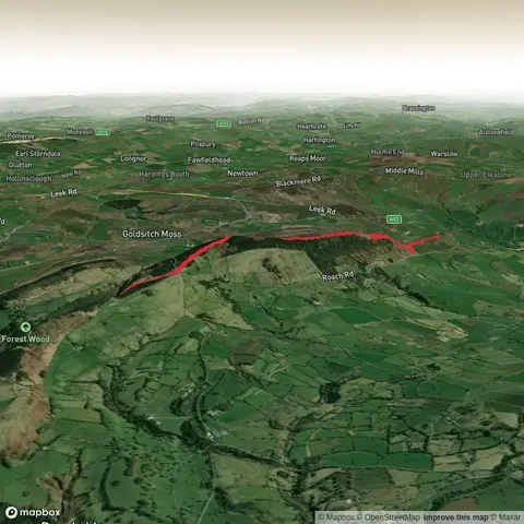
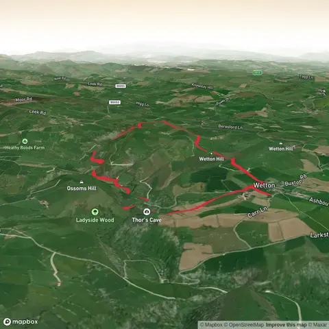
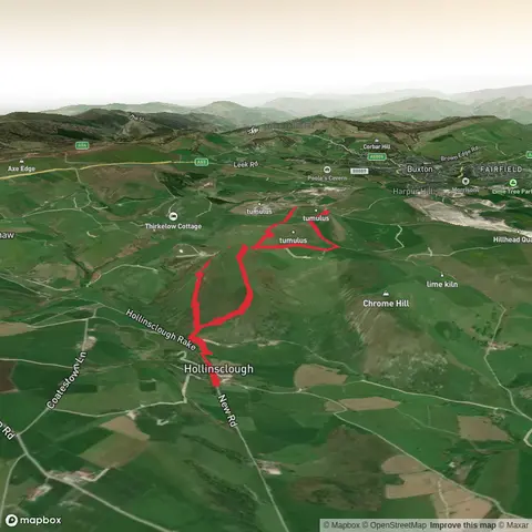
Check out some of the best hiking, walking and backpacking routes in Staffordshire, England. The Heart of England Way is the most popular trail. The trails have 936 user reviews with great photos and information. There are trails of various difficulty levels including easy and medium. The trail with the highest elevation climb is the Cloud 7 Circuit and the trail with the least amount of climbing is the Branston Water Park. The longest trail is the Staffordshire Loop from Burton-upon-Trent at 183.1 km. For a shorter adventure you can try the River Penk Loop at 710 m. Get off line access to Fastfood, Shop, Town, and Pub locations and much more with a Hiiker subscription.

Be prepared for hiking in England with the HiiKER app