Download
Preview
Add to list
More
5.5 km
~1 hrs 20 min
143 m
Loop
“Explore Cleobury Mortimer's scenic 6 km trail, blending natural beauty, historic landmarks, and moderate challenges.”
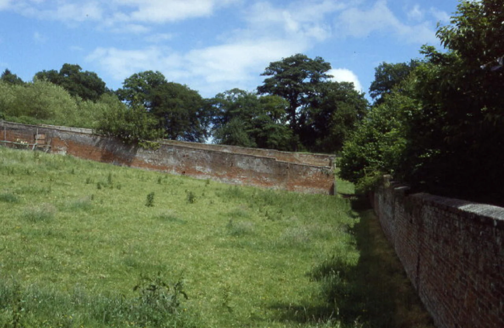
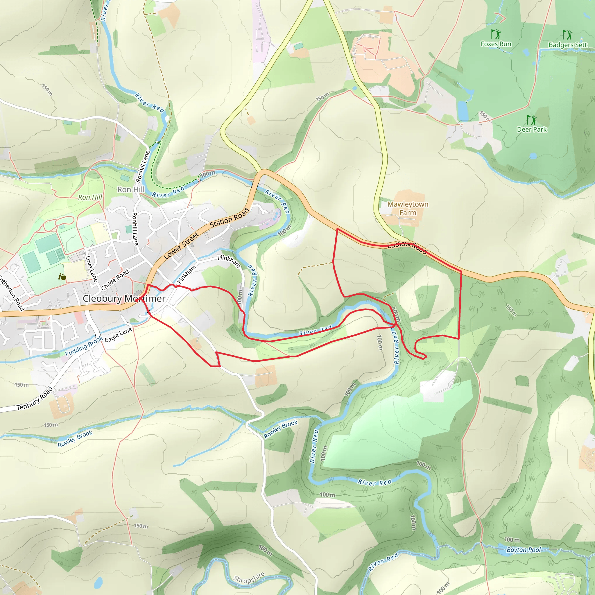
Starting near the charming town of Cleobury Mortimer in Shropshire, England, this 6 km (approximately 3.7 miles) loop trail offers a delightful mix of natural beauty and historical intrigue. With an elevation gain of around 100 meters (328 feet), it is rated as a medium difficulty hike, making it suitable for moderately experienced hikers.### Getting There To reach the trailhead, you can drive to Cleobury Mortimer, which is well-connected by road. If you prefer public transport, the nearest major railway station is in Kidderminster. From Kidderminster, you can take a bus to Cleobury Mortimer. The trailhead is conveniently located near the town center, making it easily accessible whether you arrive by car or bus.### Trail Overview The trail begins near the historic St. Mary’s Church, a significant landmark in Cleobury Mortimer. As you set off, you’ll be greeted by the picturesque English countryside, characterized by rolling hills and lush greenery. The initial part of the trail is relatively flat, allowing you to ease into the hike.### Points of Interest - St. Mary’s Church: Dating back to the 12th century, this church is a fine example of Norman architecture. Take a moment to appreciate its historical significance before you start your hike. - Cleobury Mortimer Golf Club: About 1 km (0.6 miles) into the hike, you’ll pass by the golf club. The well-manicured greens provide a stark contrast to the natural landscape. - Wyre Forest: As you continue, you’ll enter the fringes of the Wyre Forest, one of the largest ancient woodlands in England. This section of the trail is particularly enchanting, with towering trees and a rich diversity of flora and fauna.### Wildlife and Nature The Wyre Forest is home to a variety of wildlife, including deer, foxes, and numerous bird species. Keep an eye out for the Great Spotted Woodpecker and the elusive Nightjar. The forest floor is often carpeted with bluebells in the spring, adding a splash of color to your hike.### Elevation and Terrain Around the 3 km (1.9 miles) mark, you’ll encounter a moderate ascent, gaining approximately 50 meters (164 feet) in elevation. This section can be a bit challenging, but the panoramic views from the top are well worth the effort. The terrain varies from well-trodden paths to more rugged sections, so sturdy hiking boots are recommended.### Historical Significance Cleobury Mortimer itself has a rich history, dating back to the Domesday Book of 1086. The town was once a bustling market center, and remnants of its medieval past can still be seen today. The trail offers glimpses into this history, with old stone walls and ancient hedgerows lining parts of the route.### Navigation For navigation, it’s advisable to use the HiiKER app, which provides detailed maps and real-time updates. This will ensure you stay on track and can fully enjoy the hike without worrying about getting lost.### Final Stretch The final stretch of the trail loops back towards Cleobury Mortimer, descending gently through open fields and offering stunning views of the surrounding countryside. As you approach the town, you’ll pass by several traditional English cottages, adding a quaint touch to the end of your hike.This trail offers a perfect blend of natural beauty, historical landmarks, and moderate physical challenge, making it a rewarding experience for any hiker.
What to expect?
Activity types
Comments and Reviews
User comments, reviews and discussions about the Cleobury Mortimer Walk, England.
average rating out of 5
0 rating(s)

