Download
3D Flyover
Add to list
More
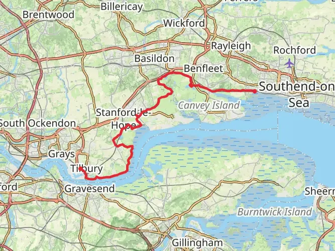
263.7 km
~10 days
1494 m
Multi-Day
“Embark on the Saxon Shore Way, a journey through England's coastal splendor and rich history.”
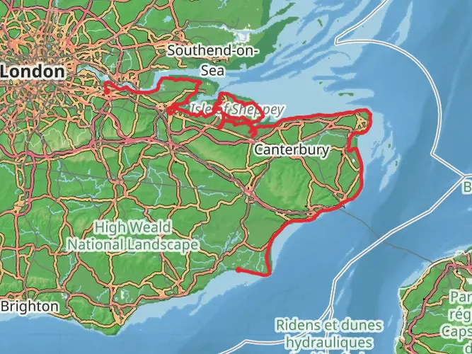
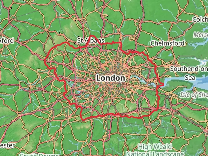
Spanning approximately 164 miles (264 kilometers) along the southeast coast of England, the Saxon Shore Way offers hikers a unique blend of coastal scenery, wildlife, and historical landmarks. With an elevation gain of around 4,600 feet (1400 meters), the trail is considered to have a medium difficulty rating, making it accessible to hikers with a reasonable level of fitness.
Getting to the Trailhead
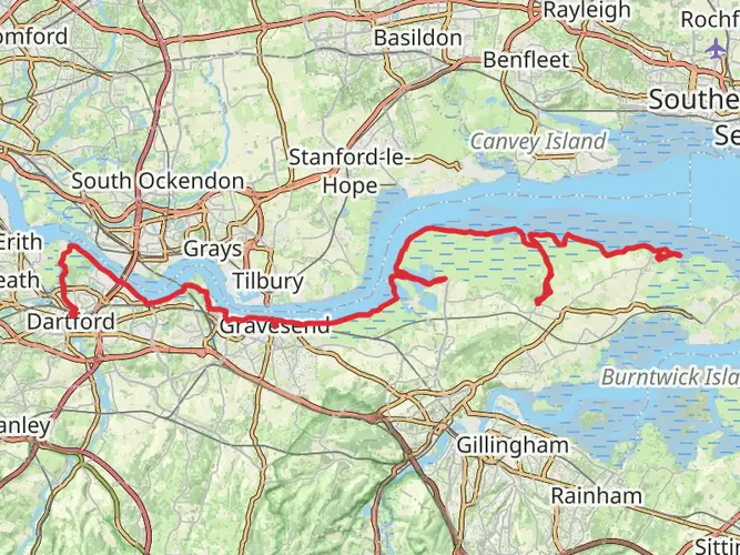
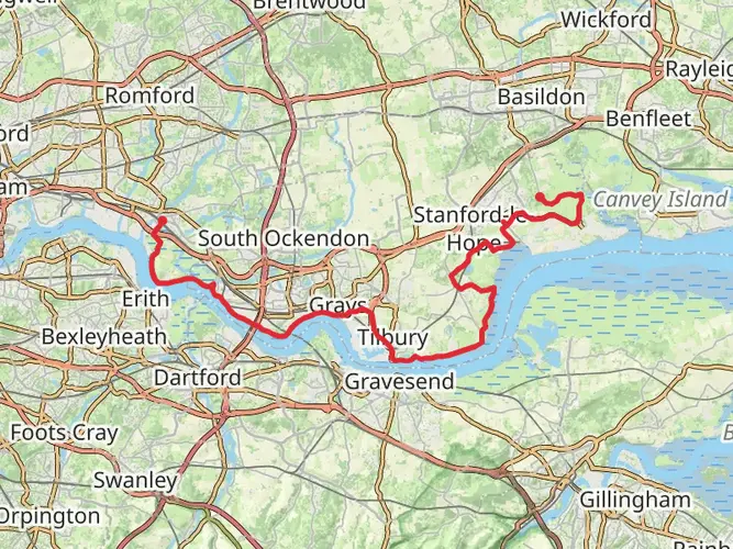
The trailhead is located near Gravesend in Kent, England. For those opting for public transport, Gravesend is well-served by trains from London and other major cities. Upon arrival at Gravesend, the trailhead is a short walk from the station. If driving, parking is available in the area, but it's advisable to check for any restrictions or charges.
Historical Significance
The Saxon Shore Way follows the coastline that Roman Britain's military once defended. The trail's name is derived from a series of fortifications built in the 3rd century to protect the empire from seaborne invaders. Hikers will encounter numerous historical sites, including ancient churches, castles, and Roman ruins.
Navigating the Trail
The trail is well-marked, but carrying a reliable navigation tool like HiiKER is recommended to stay on track and be aware of upcoming waypoints. The route takes you through a variety of landscapes, including cliff-top paths, stretches of beach, and rural countryside.
Landmarks and Scenery
Starting near Gravesend, the trail meanders along the River Thames before heading into the open countryside. One of the early highlights is Rochester with its impressive cathedral and castle, about 9 miles (14.5 kilometers) from the start.
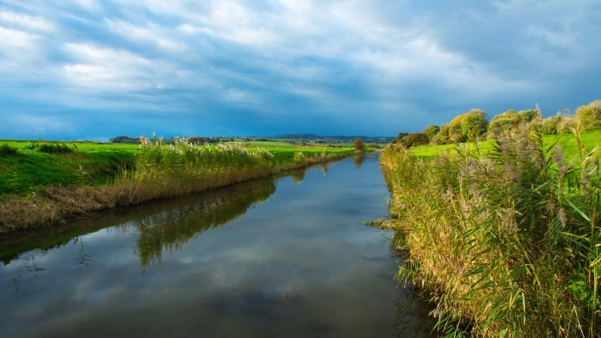
As you progress, you'll reach the Isle of Sheppey, which offers a mix of marshlands and bird-watching opportunities. The trail crosses the island and then continues along the coast to Faversham, approximately 48 miles (77 kilometers) into the hike, known for its maritime history.
Further along, the trail passes through the historic city of Canterbury, approximately 75 miles (121 kilometers) from the start. The city's cathedral is a UNESCO World Heritage Site and a must-see.
Continuing towards Dover, around 125 miles (201 kilometers) into the hike, the iconic White Cliffs offer panoramic views of the English Channel. Dover Castle and the Roman Pharos are significant landmarks here.
The final stretch of the trail takes you past the ancient Cinque Ports and ends at the seaside town of Hastings, famous for the 1066 Battle of Hastings. The endpoint is near the remains of Hastings Castle and the historic Old Town.
Wildlife and Nature
The Saxon Shore Way traverses a range of habitats, including coastal marshes, woodlands, and fields. Birdwatchers will enjoy the diversity of species, particularly in nature reserves like Oare Marshes and Rye Harbour. The trail also offers the chance to see seals along the coast near Romney Marsh.
Preparation and Planning
Hikers should be prepared for variable weather conditions, especially when walking the coastal sections. Waterproof gear and layers are essential. Accommodations range from campsites to B&Bs, so planning overnight stays according to your preferences and pace is crucial. It's also wise to carry enough water and snacks, although there are plenty of towns and villages along the route for resupplying.
Given the trail's length, some may choose to complete it in sections. The proximity of towns and public transport options makes this a convenient choice for those unable to commit to the entire route at once.

What to expect?
Comments and Reviews
User comments, reviews and discussions about the Saxon Shore Way, England.
4.6
average rating out of 5
30 rating(s)