Download
Preview
Add to list
More
9.0 km
~2 hrs 11 min
232 m
Loop
“Explore the Head Down Loop - Chalton: 9 km of scenic landscapes, historic landmarks, and diverse wildlife.”
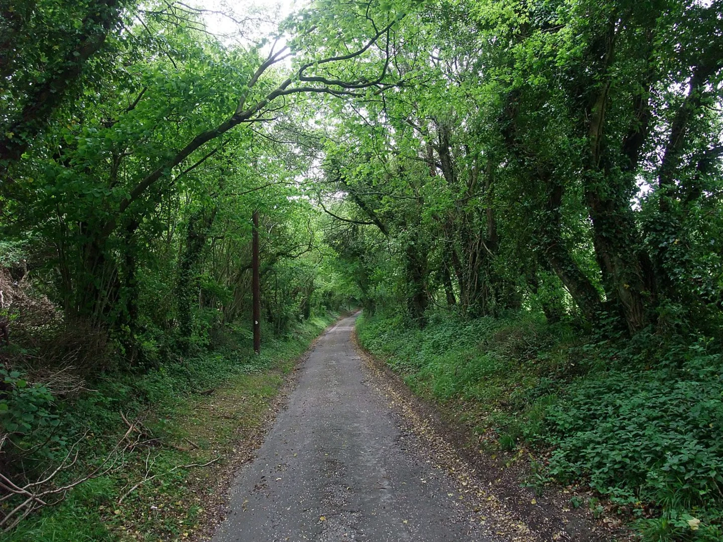
Starting near Hampshire, England, the Head Down Loop - Chalton is a delightful 9 km (5.6 miles) loop trail with an elevation gain of approximately 200 meters (656 feet). This medium-difficulty trail offers a mix of scenic landscapes, historical landmarks, and diverse wildlife, making it an excellent choice for hikers looking to explore the English countryside.
Getting There
To reach the trailhead, you can drive or use public transport. If driving, set your GPS to Chalton, Hampshire, and look for parking near the village. For those using public transport, the nearest significant landmark is the Petersfield Railway Station. From there, you can take a local bus or taxi to Chalton, which is about 6 miles (9.6 km) away.
Trail Overview
The trail begins near the village of Chalton, a quaint settlement with roots dating back to the Saxon era. As you start your hike, you'll immediately notice the rolling hills and lush greenery that characterize this part of Hampshire.
Key Landmarks and Points of Interest
1. Chalton Windmill (1.5 km / 0.9 miles): About 1.5 km into the hike, you'll come across the Chalton Windmill. This historic structure, dating back to the 19th century, offers a glimpse into the region's agricultural past. Though the windmill is no longer operational, it remains a picturesque spot for photos and a brief rest.
2. Queen Elizabeth Country Park (3 km / 1.9 miles): Continuing along the trail, you'll enter the Queen Elizabeth Country Park around the 3 km mark. This expansive park is home to a variety of flora and fauna, including ancient woodlands and open meadows. Keep an eye out for deer, foxes, and a variety of bird species. The park also features several well-marked paths, so make sure to use HiiKER to stay on the correct route.
3. Butser Hill (5 km / 3.1 miles): At approximately 5 km, you'll reach Butser Hill, the highest point in the South Downs National Park. The climb is gradual but steady, offering panoramic views of the surrounding countryside. The hill is also of archaeological interest, with evidence of ancient settlements and burial mounds.
4. South Downs Way (6.5 km / 4 miles): Around 6.5 km into the hike, the trail intersects with the South Downs Way, a long-distance footpath that stretches across southern England. This section of the trail is particularly scenic, with sweeping views of the South Downs and the English Channel in the distance.
Wildlife and Nature
The Head Down Loop - Chalton is rich in biodiversity. The woodlands are home to oak, beech, and ash trees, while the open fields are dotted with wildflowers like bluebells and primroses in the spring. Birdwatchers will enjoy spotting species such as the red kite, kestrel, and various songbirds. Small mammals like rabbits and hedgehogs are also commonly seen along the trail.
Historical Significance
The region around Chalton is steeped in history. The village itself has Saxon origins, and the surrounding landscape is dotted with remnants of ancient settlements and agricultural practices. Butser Hill, in particular, has been a site of human activity for thousands of years, with archaeological finds dating back to the Iron Age.
Final Stretch
As you loop back towards Chalton, the trail descends gently through more wooded areas and open fields. The final 2 km (1.2 miles) offer a relaxing end to your hike, with ample opportunities to enjoy the serene countryside before arriving back at the village.
Navigation
For navigation, it's highly recommended to use HiiKER, which provides detailed maps and real-time updates to ensure you stay on track. The trail is generally well-marked, but having a reliable navigation tool will enhance your hiking experience.
This trail offers a perfect blend of natural beauty, historical intrigue, and moderate physical challenge, making it a rewarding experience for hikers of all levels.

What to expect?
Activity types
Comments and Reviews
User comments, reviews and discussions about the Head Down Loop - Chalton, England.
average rating out of 5
0 rating(s)