The best hikes in Gloucestershire
England · 464 HiiKER Hikes
View Hikes on map
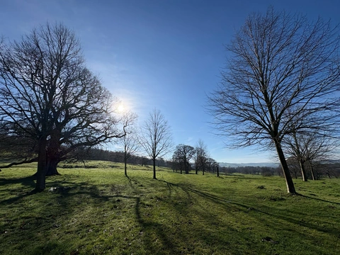
What to expect
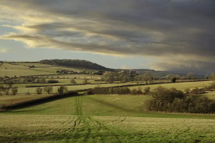
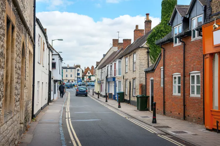
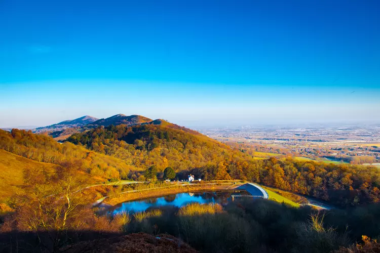
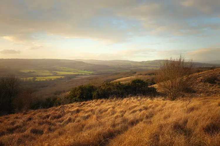
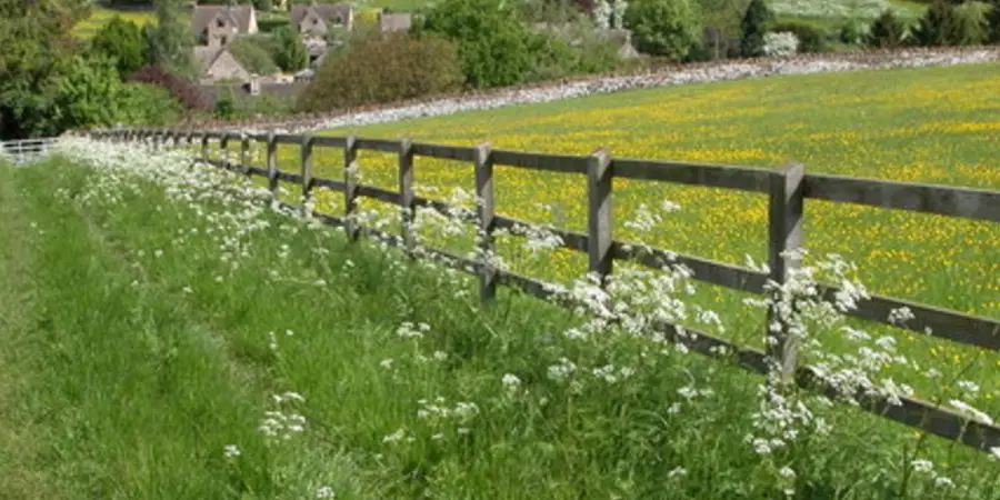
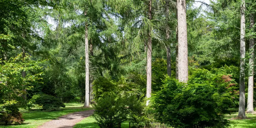
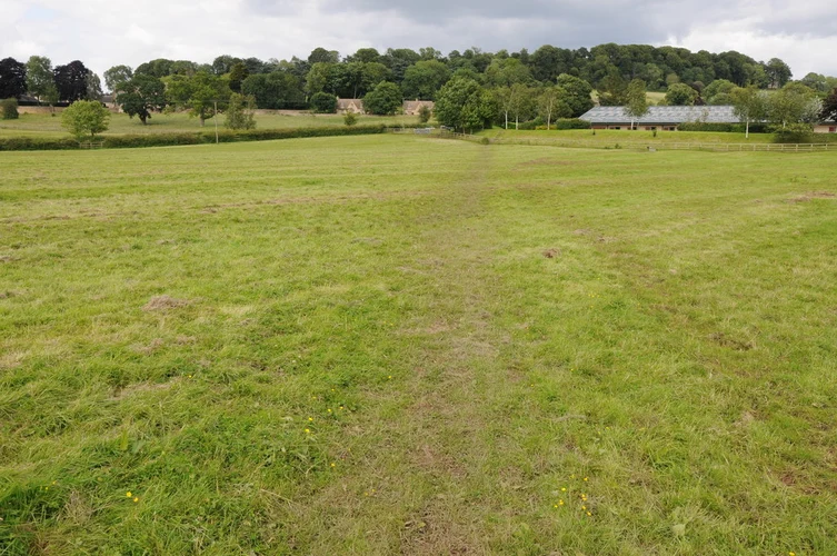
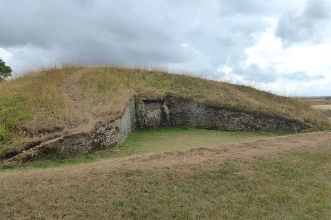
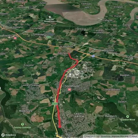
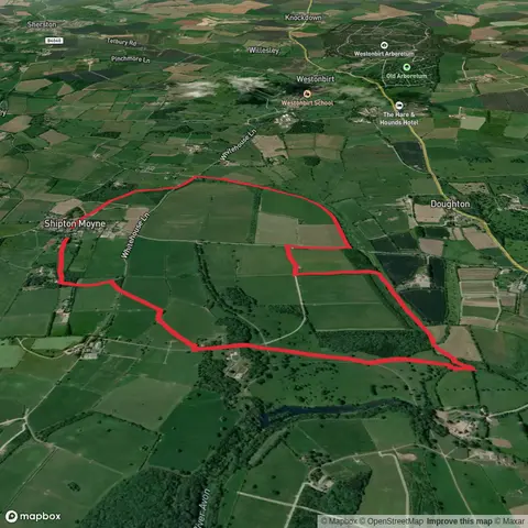
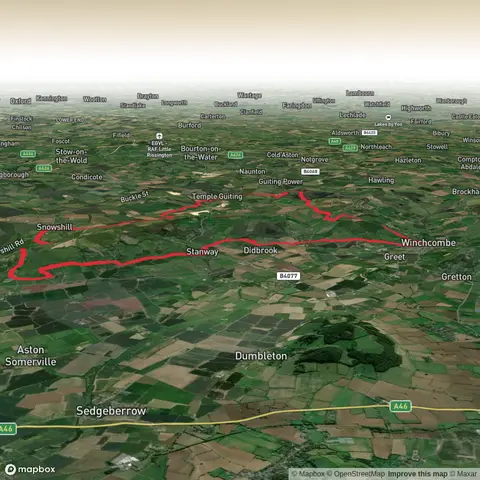
Check out some of the best hiking, walking and backpacking routes in Gloucestershire, England. The Cotswold Way is the most popular trail. The trails have 1158 user reviews with great photos and information. There are trails of various difficulty levels including easy, medium, difficult, and extra difficult. The trail with the highest elevation climb is the Offa's Dyke Path and the trail with the least amount of climbing is the Slimbridge Wetland Centre Loop. The longest trail is the Seven Shires Way at 378.3 km. For a shorter adventure you can try the Querns Wood and Cirencester Amphitheatre Loop at 847 m. Get off line access to Town, Restaurant, Pub, and Bus Stop locations and much more with a Hiiker subscription.

Be prepared for hiking in England with the HiiKER app