Download
3D Flyover
Add to list
More
130.5 km
~5 days
1863 m
Multi-Day
“Embark on the Dales Way, a journey of natural splendor and historic paths through England's serene dales.”
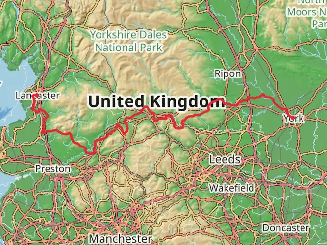
The Dales Way is a scenic long-distance footpath that stretches approximately 128 kilometers (80 miles) across the north of England, starting near Ilkley in West Yorkshire and concluding at Bowness-on-Windermere in Cumbria. With an elevation gain of around 1400 meters (4593 feet), the trail offers a medium difficulty rating, making it accessible to hikers with a reasonable level of fitness.
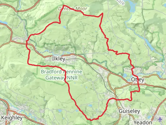
Getting to the Trailhead To begin your journey on the Dales Way, you can reach the trailhead near Ilkley by public transport or car. Ilkley is well-connected by train, with regular services from Leeds and Bradford, which are major cities with extensive rail networks. If you're driving, Ilkley is situated near the A65, which is the main road running through this area. Parking is available in the town for those who wish to leave their vehicle for the duration of the hike.
Navigating the Trail As you embark on the Dales Way, you'll find that the trail is well-marked with signposts and waymarkers. However, it's always wise to carry a reliable navigation tool like HiiKER, which provides detailed maps and GPS tracking to ensure you stay on the right path.
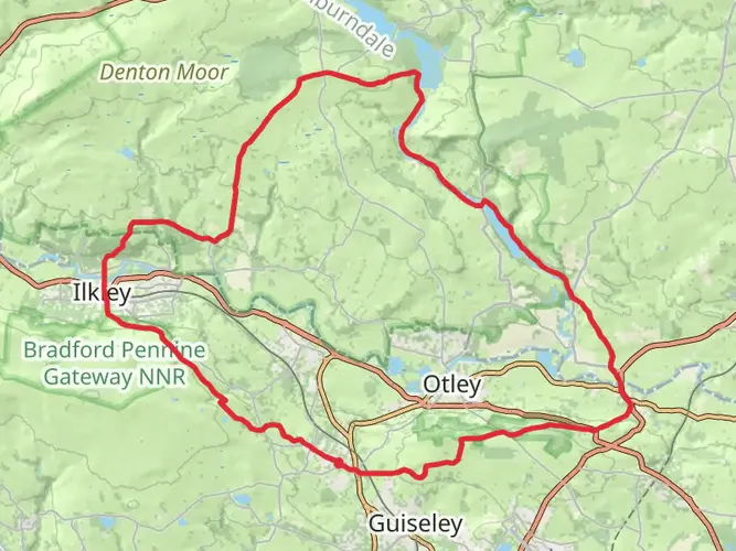
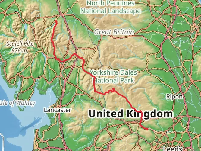
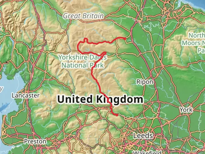
Landmarks and Scenery The trail meanders through the Yorkshire Dales National Park, offering hikers a chance to immerse themselves in some of England's most picturesque landscapes. You'll traverse rolling hills, serene river valleys, and charming farmland. Notable landmarks include the Bolton Abbey, a 12th-century Augustinian monastery, and the quaint village of Grassington, which is a perfect spot for a rest and refreshment about 24 kilometers (15 miles) into the hike.
Wildlife and Nature The Dales Way passes through a variety of habitats, from woodlands to moorlands, which are home to an array of wildlife. Keep an eye out for native bird species such as the curlew and the red grouse. The trail also crosses several rivers, including the Wharfe, Lune, and Kent, where you may spot brown trout or even salmon during their spawning season.
Historical Significance The region through which the Dales Way passes is steeped in history. The trail itself follows ancient trade routes and drovers' roads that have been used for centuries. The Yorkshire Dales have been shaped by agricultural practices dating back to the medieval period, and the landscape is dotted with historical sites, including stone circles and remnants of Roman occupation.
Preparing for the Hike Given the length of the Dales Way, it's advisable to plan for a multi-day trek, with accommodations ranging from campgrounds to bed and breakfasts available along the route. The trail can be completed in about 6 to 8 days, depending on your pace. Weather in the region can be unpredictable, so pack waterproof gear and layers to accommodate changes in temperature.
Conclusion The Dales Way is a journey through the heart of the English countryside, rich in natural beauty and historical intrigue. Whether you're a seasoned hiker or someone looking to take on a more challenging trail, the Dales Way offers a rewarding experience with every step.

What to expect?
Activity types
Surfaces
Unknown
Asphalt
Ground
Comments and Reviews
User comments, reviews and discussions about the Dales Way, England.
4.74
average rating out of 5
23 rating(s)