Download
Preview
Add to list
More
85.5 km
~6 days
3376 m
Multi-Day
“Trek the Sierra Nevada's heart, a test of endurance and awe, through Deadman Canyon Loop's majesty and might.”
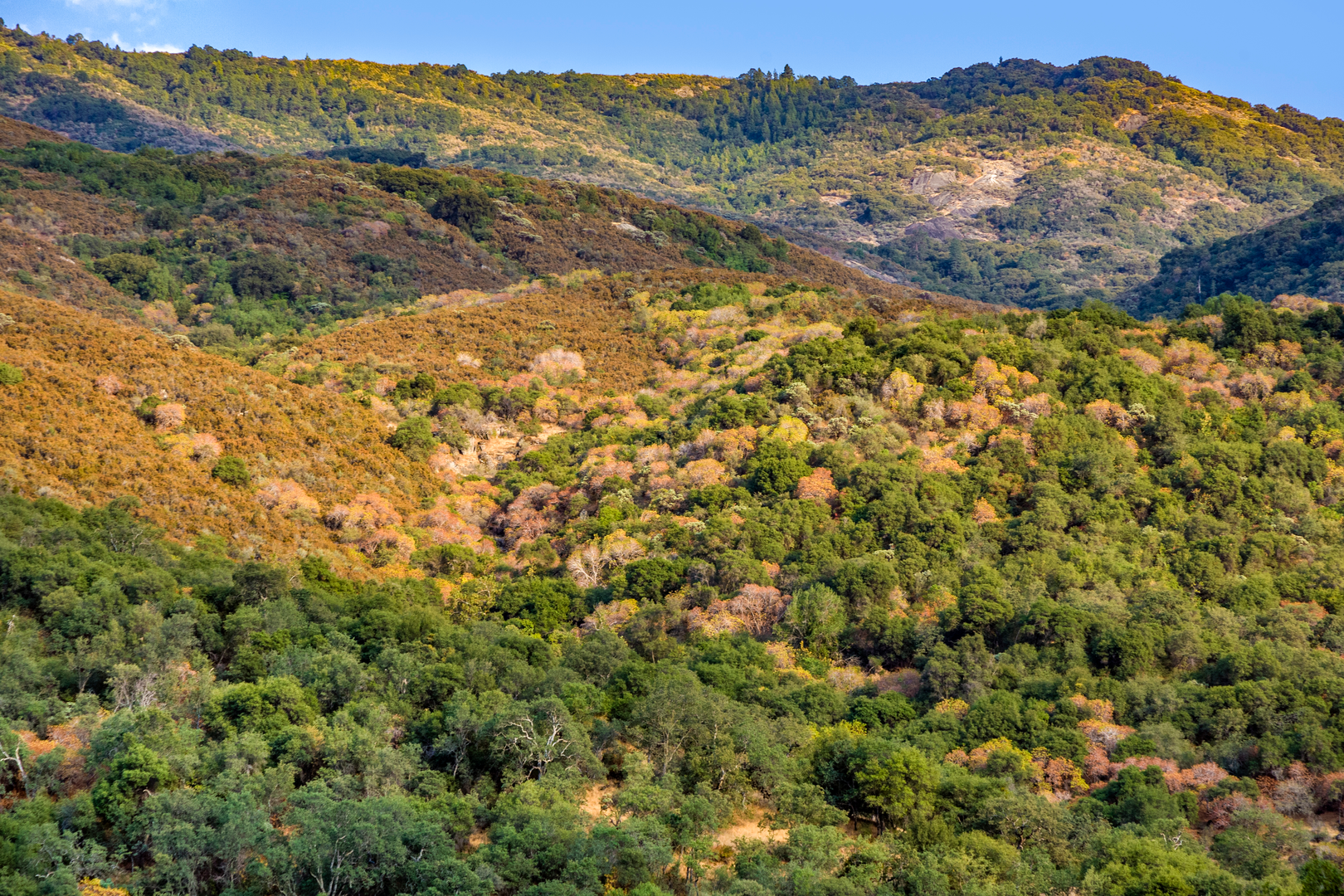
Embarking on the Deadman Canyon Loop is a journey through the heart of the Sierra Nevada, offering a challenging yet rewarding experience for seasoned hikers. Spanning approximately 85 kilometers (about 53 miles) with an elevation gain of around 3300 meters (roughly 10,800 feet), this trail is not for the faint of heart. The loop begins near Tulare County, California, in the majestic Sequoia and Kings Canyon National Parks.
Getting to the Trailhead
To reach the trailhead, hikers can drive to the Lodgepole Visitor Center, which is the nearest significant landmark. From there, a short drive or walk will lead you to the Wolverton parking area, where the trail commences. For those relying on public transportation, the nearest town with bus services is Visalia, California. From Visalia, take the Sequoia Shuttle to the Lodgepole Visitor Center during the summer months when the service is operational.
Navigating the Trail
Hikers should prepare to navigate the loop using the HiiKER app, which provides detailed maps and waypoints to ensure you stay on the right path. The trail is well-marked, but due to its length and remote nature, having a reliable navigation tool is essential.
Trail Highlights and Landmarks
As you set out from Wolverton, the trail ascends steadily, taking you through dense forests of giant sequoias, which are among the largest trees on Earth. The initial climb is strenuous, but the awe-inspiring views of these ancient giants provide a welcome distraction.
After approximately 11 kilometers (7 miles), you'll reach the Alta Peak junction. Here, the trail begins to level out, and you'll find yourself at Mehrten Meadow, a perfect spot to rest and enjoy the serene alpine meadow.
Continuing on, the trail descends into Deadman Canyon, which is a geological marvel with its U-shaped valley carved by glaciers. The canyon is also rich in history, as it was once used by Native American tribes and later by shepherds and early settlers.
Wildlife and Natural Beauty
The loop traverses diverse ecosystems, home to a variety of wildlife including black bears, mule deer, and mountain lions. Birdwatchers will be delighted by the presence of Clark's nutcrackers, Steller's jays, and the occasional glimpse of a peregrine falcon.
As you ascend the canyon, you'll reach the highest point of the loop at Elizabeth Pass, which sits at an elevation of approximately 3,500 meters (11,500 feet). The panoramic views from the pass are breathtaking, with the Great Western Divide and the Kaweah Peaks in full display.
Descending and Completing the Loop
The descent from Elizabeth Pass is steep and can be challenging, leading you through the Hamilton Lakes Basin. Here, pristine alpine lakes are nestled beneath towering granite cliffs, offering a picturesque setting for a well-deserved break.
The final stretch of the loop takes you back down into the forest and eventually returns you to the Wolverton area. The entire journey typically takes 5 to 7 days to complete, depending on pace and experience.
Preparation and Considerations
Given the trail's difficulty, hikers should be in good physical condition and have experience with multi-day backpacking trips. It's essential to pack appropriately for all weather conditions and to be prepared for the high altitude and its effects.
Permits are required for overnight stays in the backcountry, and hikers should plan well in advance to secure these, especially during peak season. Always practice Leave No Trace principles to preserve the natural beauty of the area for future generations.
With its stunning landscapes, rich history, and challenging terrain, the Deadman Canyon Loop is a must-hike for those looking to test their limits and immerse themselves in the wilderness of the Sierra Nevada.

What to expect?
Activity types
Comments and Reviews
User comments, reviews and discussions about the Deadman Canyon Loop, California.
4.29
average rating out of 5
7 rating(s)