The best hikes in Santa Cruz County
California · 140 HiiKER Hikes
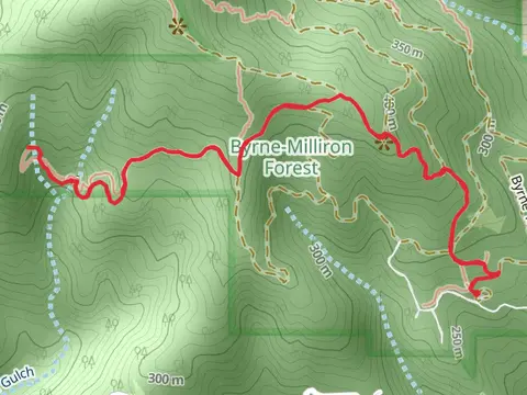
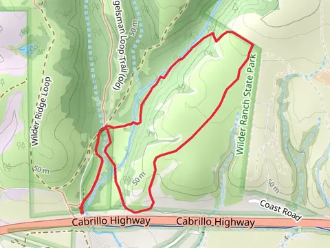
View Hikes on map
What to expect
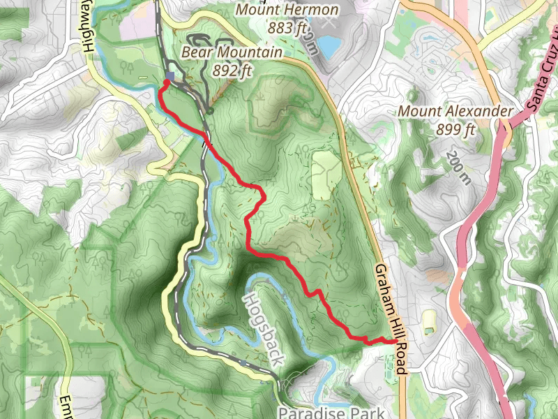
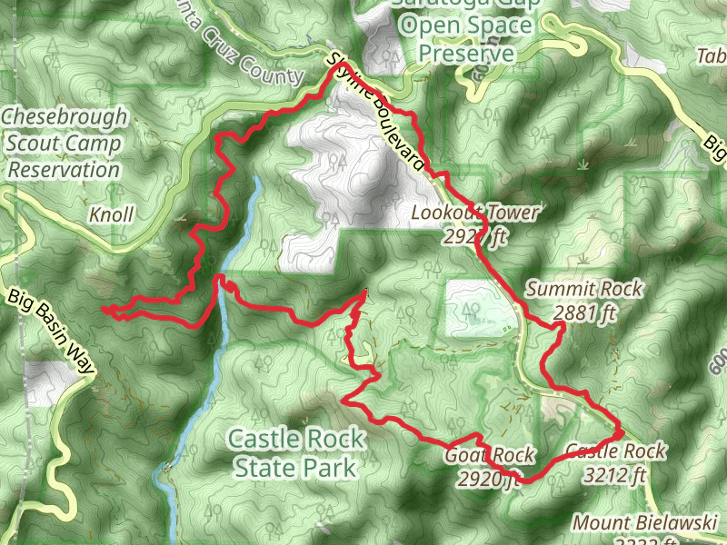
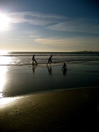
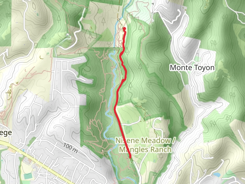
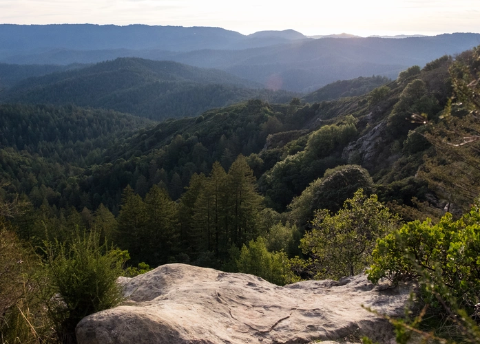
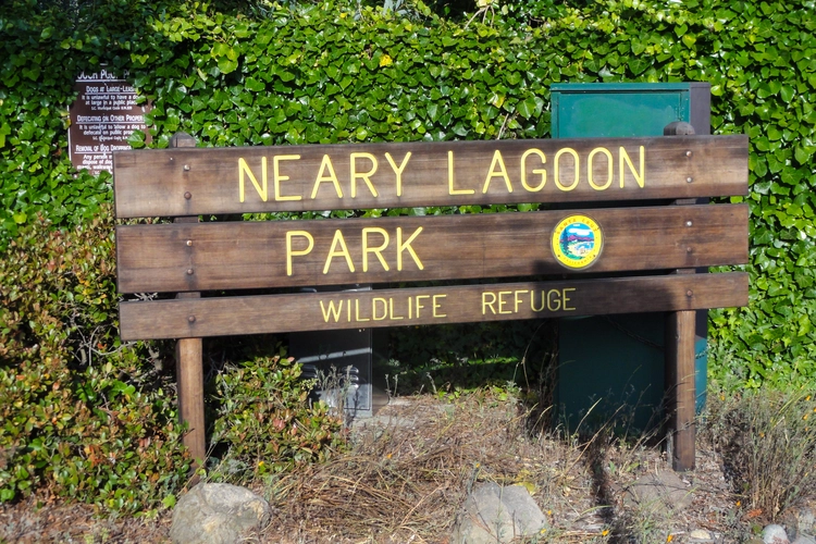
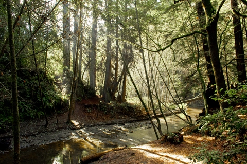
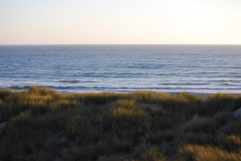
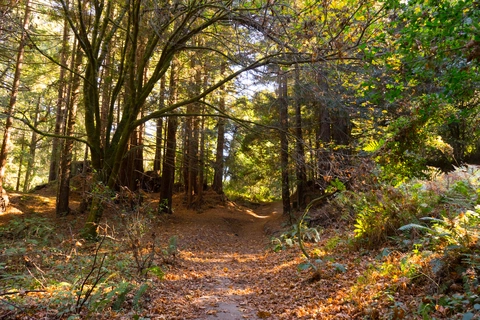
Check out some of the best hiking, walking and backpacking routes in Santa Cruz County, California. The Skyline to Sea Trail is the most popular trail. The trails have 503 user reviews with great photos and information. There are trails of various difficulty levels including easy, medium, difficult, and extra difficult. The trail with the highest elevation climb is the Castle Rock Loop and the trail with the least amount of climbing is the Laurel Creek Loop from Chestnut Park. The longest trail is the Sand Point Overlook and Lone Tree Prairie at 39.1 km. For a shorter adventure you can try the Oak Trail at 514 m. Get off line access to Shop, Peak, Fastfood, and Restaurant locations and much more with a Hiiker subscription.

Be prepared for hiking in California with the HiiKER app