The best hikes in San Luis Obispo County
California · 199 HiiKER Hikes
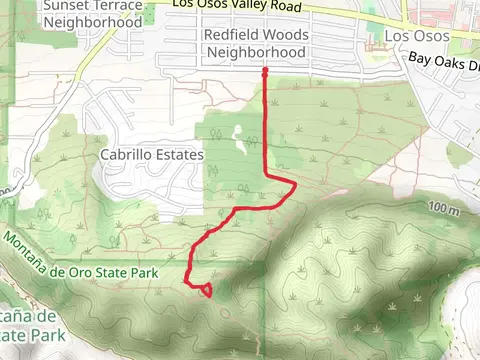
View Hikes on map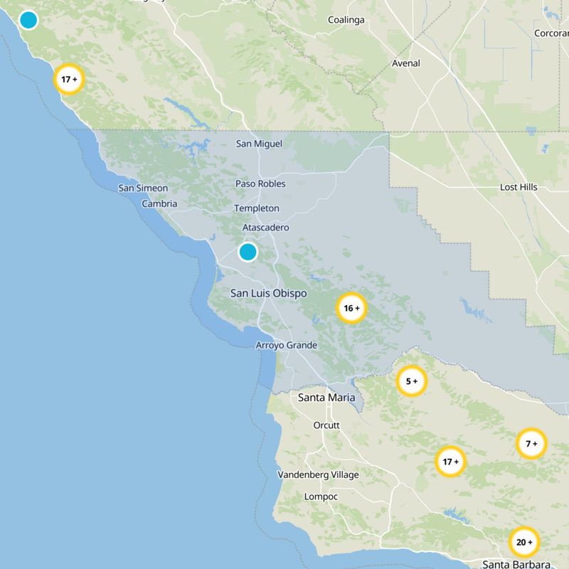


What to expect
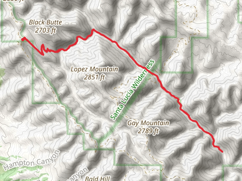
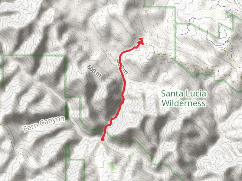
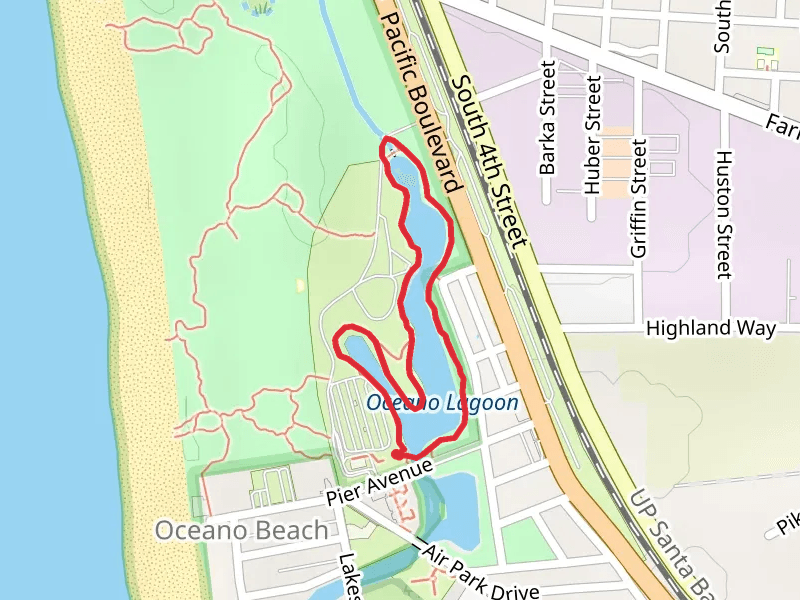
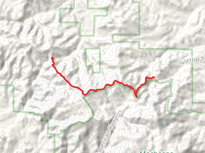
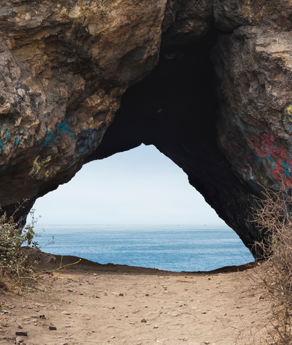
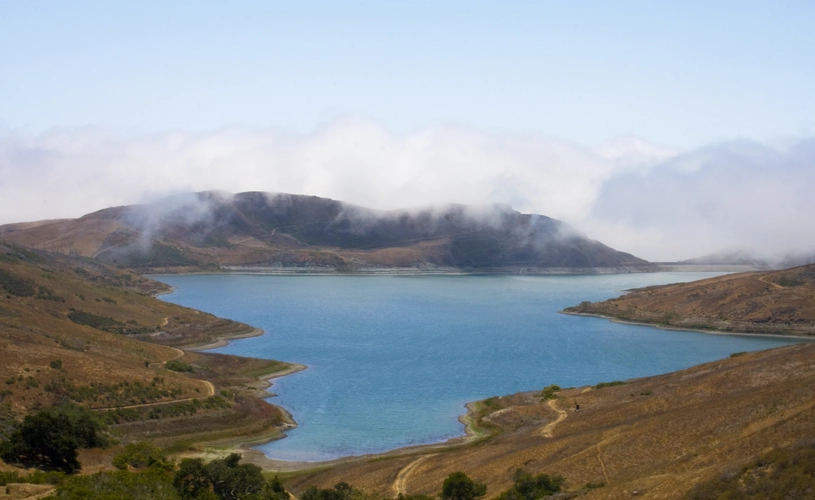
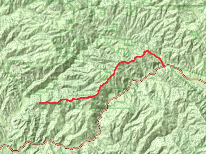
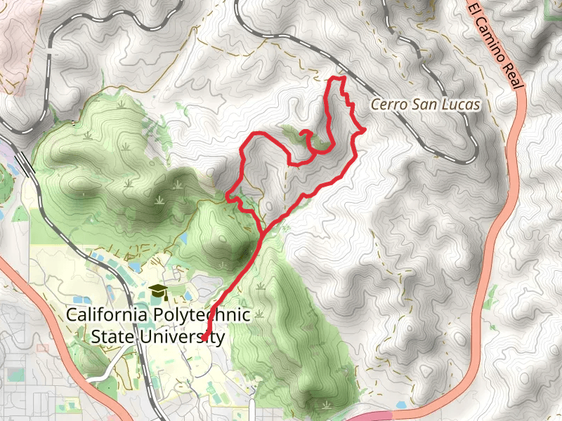
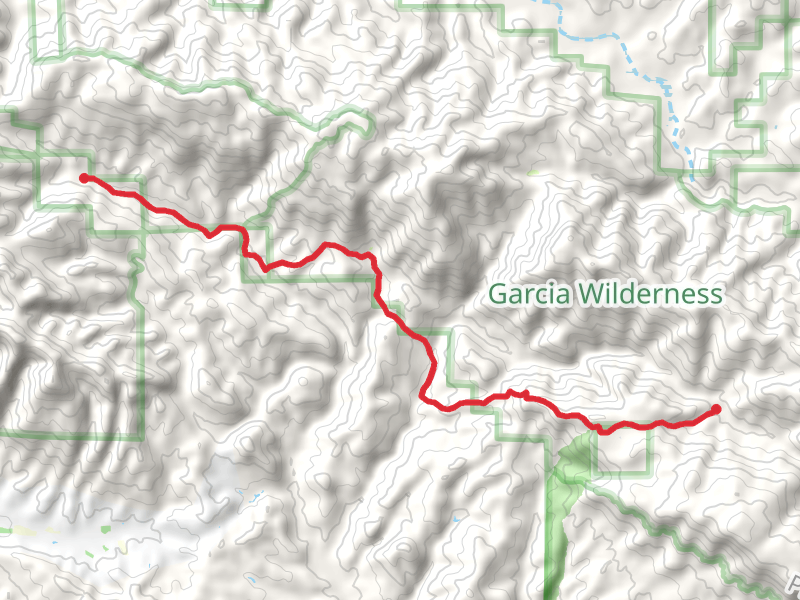
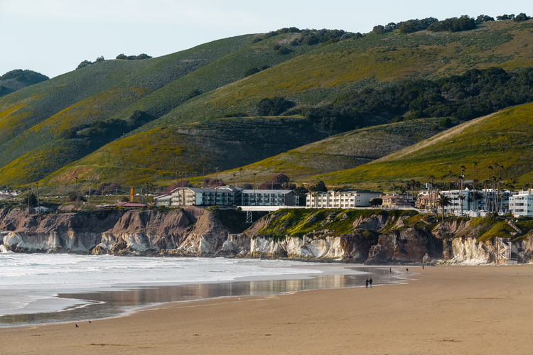
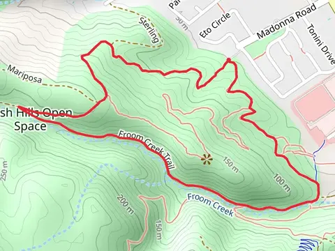
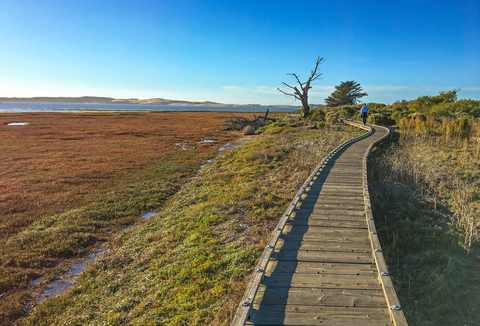
Check out some of the best hiking, walking and backpacking routes in San Luis Obispo County, California. The Lopez Canyon Trail is the most popular trail. The trails have 684 user reviews with great photos and information. There are trails of various difficulty levels including easy, medium, difficult, and extra difficult. The trail with the highest elevation climb is the Caliente Mountian Ridge Trail and the trail with the least amount of climbing is the Pismo State Beach Oceano Campground Loop. The longest trail is the Twin Rocks Trail at 43.5 km. For a shorter adventure you can try the City Park at 618 m. Get off line access to Healthcare, Shop, Fastfood, and Restaurant locations and much more with a Hiiker subscription.

Be prepared for hiking in California with the HiiKER app