The best hikes in San Benito County
California · 57 HiiKER Hikes
View Hikes on map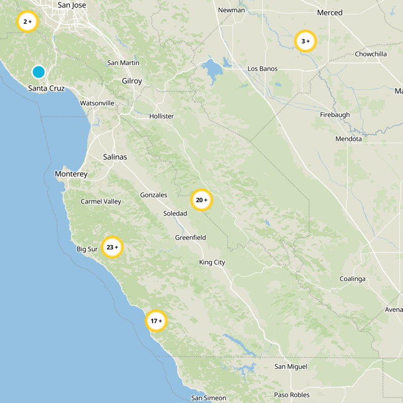
What to expect
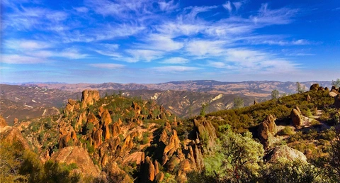
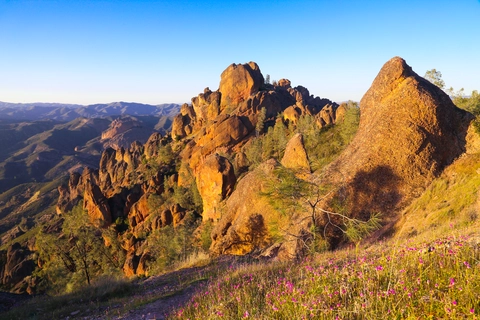
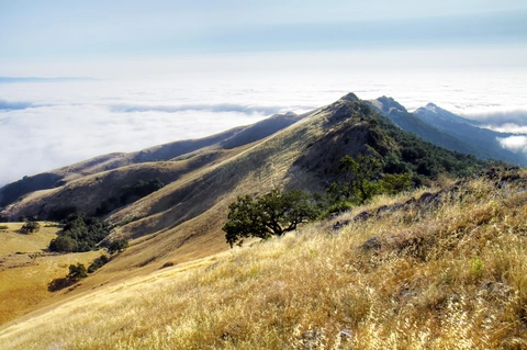
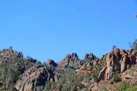
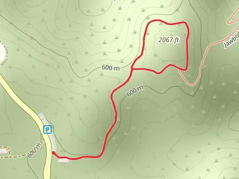
Check out some of the best hiking, walking and backpacking routes in San Benito County, California. The Bacon - Butterfield Ranch Trail is the most popular trail. The trails have 139 user reviews with great photos and information. There are trails of various difficulty levels including easy, medium, difficult, and extra difficult. The trail with the highest elevation climb is the Laguna Mountain Road Loop and the trail with the least amount of climbing is the Brigantino Park Loop. The longest trail is the North Chalone Peak via High Peaksand Juniper Canyon Trail at 33.0 km. For a shorter adventure you can try the Pinnacles Campground at 1.1 km. Get off line access to Viewpoint, Campsite, Water, and Peak locations and much more with a Hiiker subscription.

Be prepared for hiking in California with the HiiKER app