The best hikes in Los Angeles County
California · 1104 HiiKER Hikes
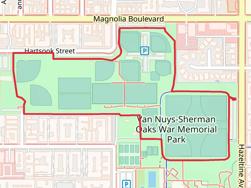
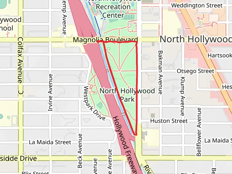
View Hikes on map

What to expect
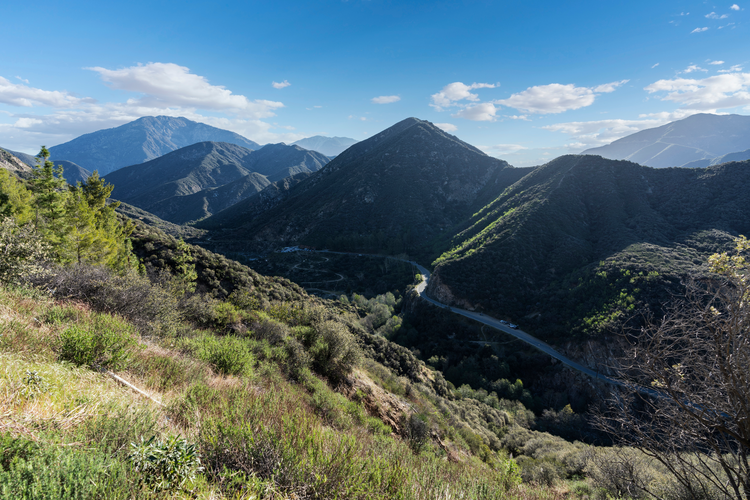
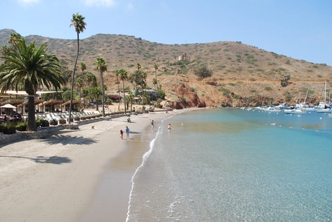
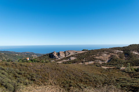
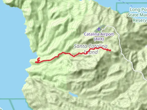
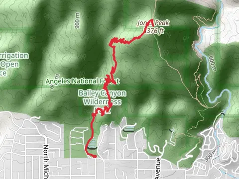
Check out some of the best hiking, walking and backpacking routes in Los Angeles County, California. The Trans-Catalina Trail is the most popular trail. The trails have 3744 user reviews with great photos and information. There are trails of various difficulty levels including easy, medium, difficult, and extra difficult. The trail with the highest elevation climb is the Pine Mountain, Dawson Peak and Mount San Antonio and the trail with the least amount of climbing is the Boathouse Lane. The longest trail is the Trans-Catalina Trail at 60.5 km. For a shorter adventure you can try the Eldred Street at 148 m. Get off line access to Shelter, Healthcare, Restaurant, and Fastfood locations and much more with a Hiiker subscription.

Be prepared for hiking in California with the HiiKER app