The best hikes in Calaveras County
California · 25 HiiKER Hikes
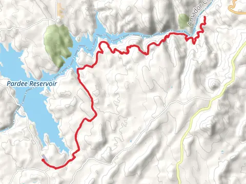
View Hikes on map

What to expect
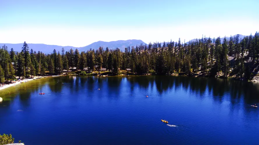
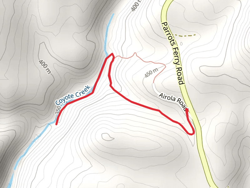
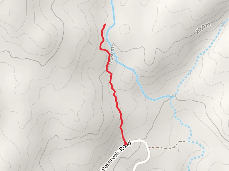
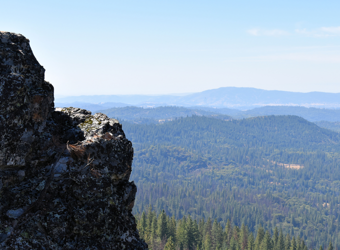
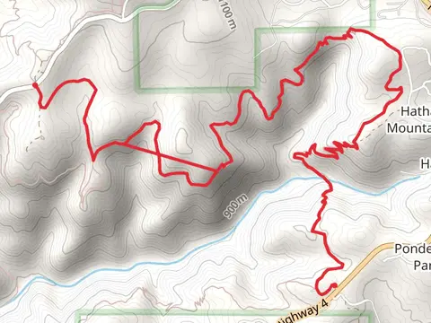
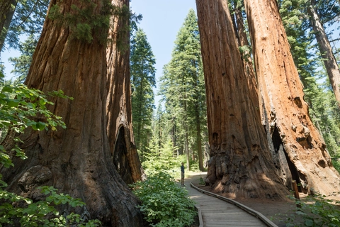
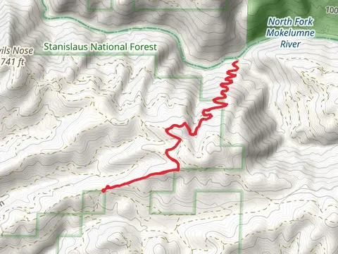
Check out some of the best hiking, walking and backpacking routes in Calaveras County, California. The San Domingo Loop Trail is the most popular trail. The trails have 66 user reviews with great photos and information. There are trails of various difficulty levels including medium, difficult, and extra difficult. The trail with the highest elevation climb is the Mattley Ridge via Forest Route 7N12 and the trail with the least amount of climbing is the Mokelumne River from Gwin Mine Road. The longest trail is the Mokelumne Coast to Crest Trail at 42.3 km. For a shorter adventure you can try the Mokelumne River from Gwin Mine Road at 1.4 km. Get off line access to Water, Peak, Campsite, and Viewpoint locations and much more with a Hiiker subscription.

Be prepared for hiking in California with the HiiKER app