The best hikes in CAL Fire Orange County
California · 2 HiiKER Hikes
View Hikes on map


What to expect
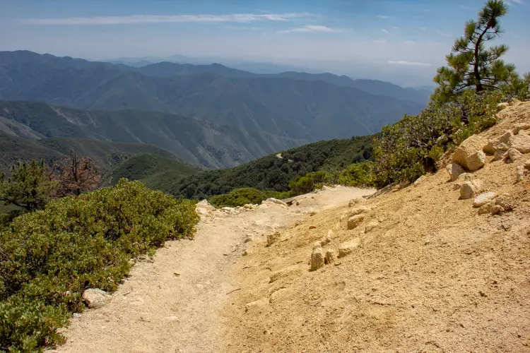
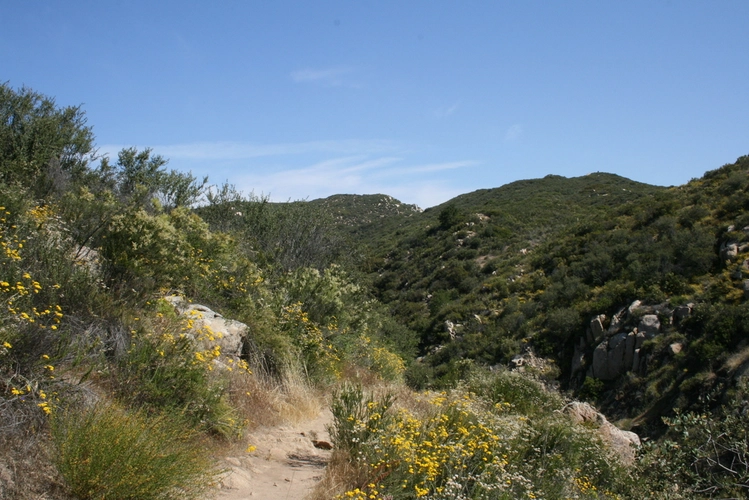
Check out some of the best hiking, walking and backpacking routes in CAL Fire Orange County, California. There are trails of various difficulty levels including medium and difficult. Get off line access to Shelter, Town, Peak, and Water locations and much more with a Hiiker subscription.

Be prepared for hiking in California with the HiiKER app