The best hikes in Bezirk Hartberg-Fürstenfeld
Austria · 125 HiiKER Hikes
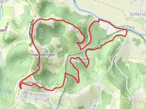
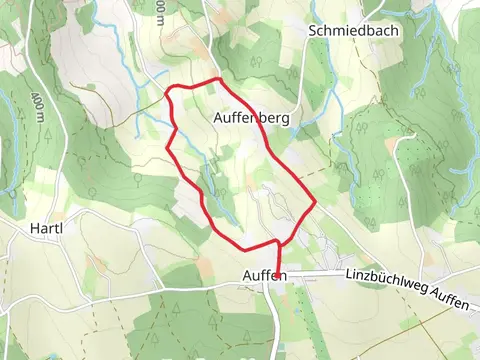
View Hikes on map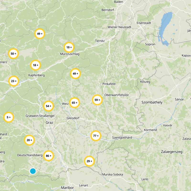
What to expect
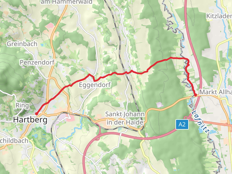
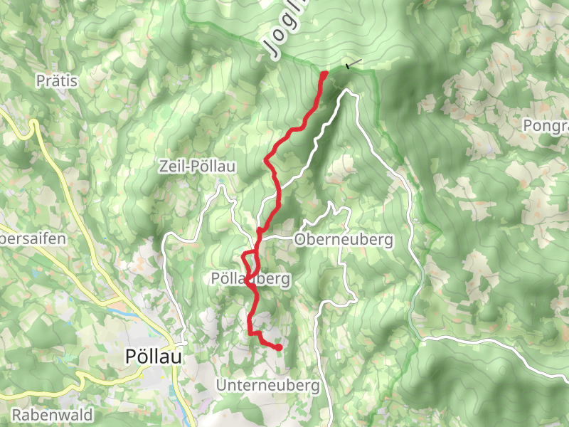
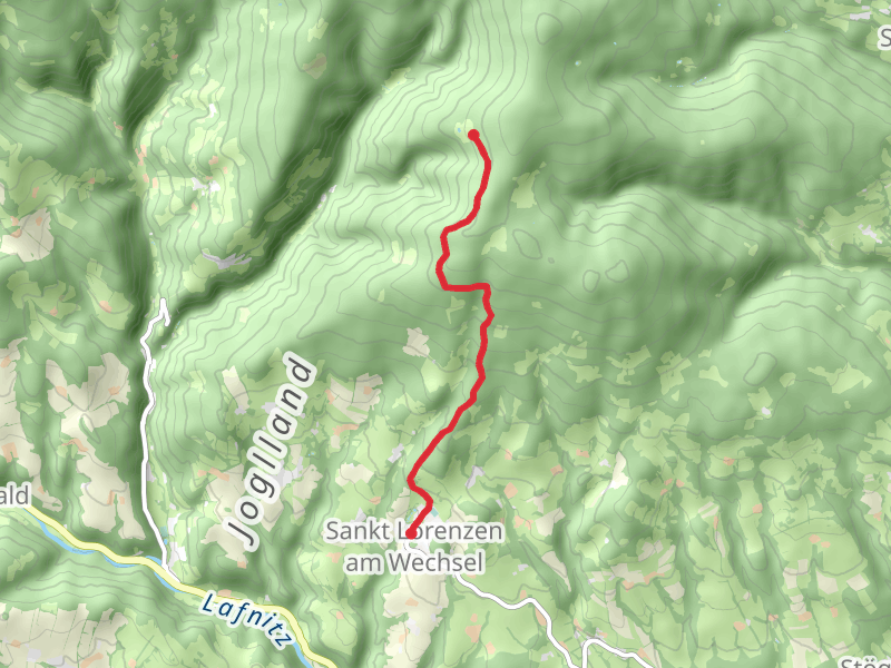
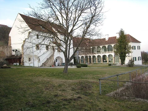
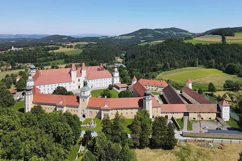
Check out some of the best hiking, walking and backpacking routes in Bezirk Hartberg-Fürstenfeld, Austria. The Stubenberg - Buschenschanway Loop Trail is the most popular trail. There are trails of various difficulty levels including easy and medium. The trail with the highest elevation climb is the Waldbach - Hochwechsel Trail and the trail with the least amount of climbing is the Bad Loipersdorf Wine Trail. The longest trail is the St Jakob im Walde via Mönichwald and Vorau Loop at 45.5 km. For a shorter adventure you can try the Wenigzell - Barefoot Park Loop Trail at 905 m. Get off line access to History, Water, Restaurant, and Bus Stop locations and much more with a Hiiker subscription.

Be prepared for hiking in Austria with the HiiKER app