Download
3D Preview
Add to list
More
1207.7 km
~48 days
25158 m
Multi-Day
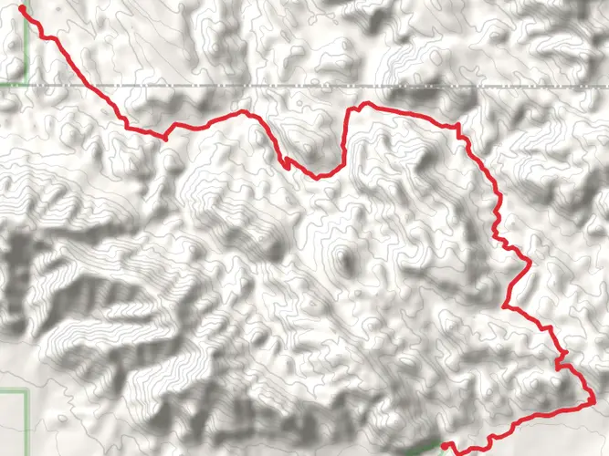
The Grand Enchantment Trail spans approximately 1208 kilometers (750 miles) and features a significant elevation gain of around 25,100 meters (82,500 feet). This point-to-point trail begins near Roosevelt, Arizona, and stretches all the way to Albuquerque, New Mexico, offering a medium difficulty rating that caters to hikers with some experience.
Getting to the Trailhead
To reach the starting point of the Grand Enchantment Trail, you can drive or take public transportation to the vicinity of Roosevelt, Arizona. The trailhead is accessible by car, with parking areas near Roosevelt Lake. For those relying on public transport, options may be limited due to the remote nature of the trailhead, so it's advisable to research the latest transport routes and schedules or consider a taxi or shuttle service from the nearest towns or cities.
Trail Overview
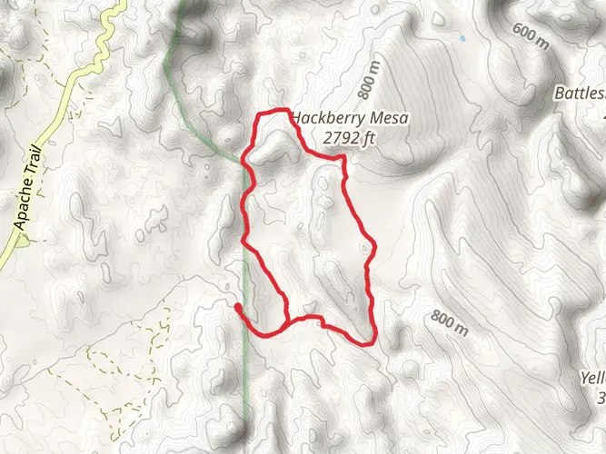
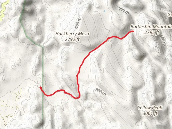
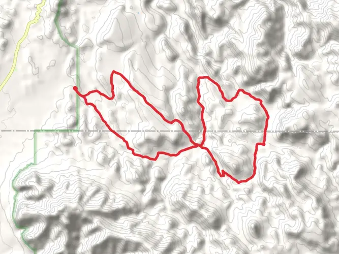
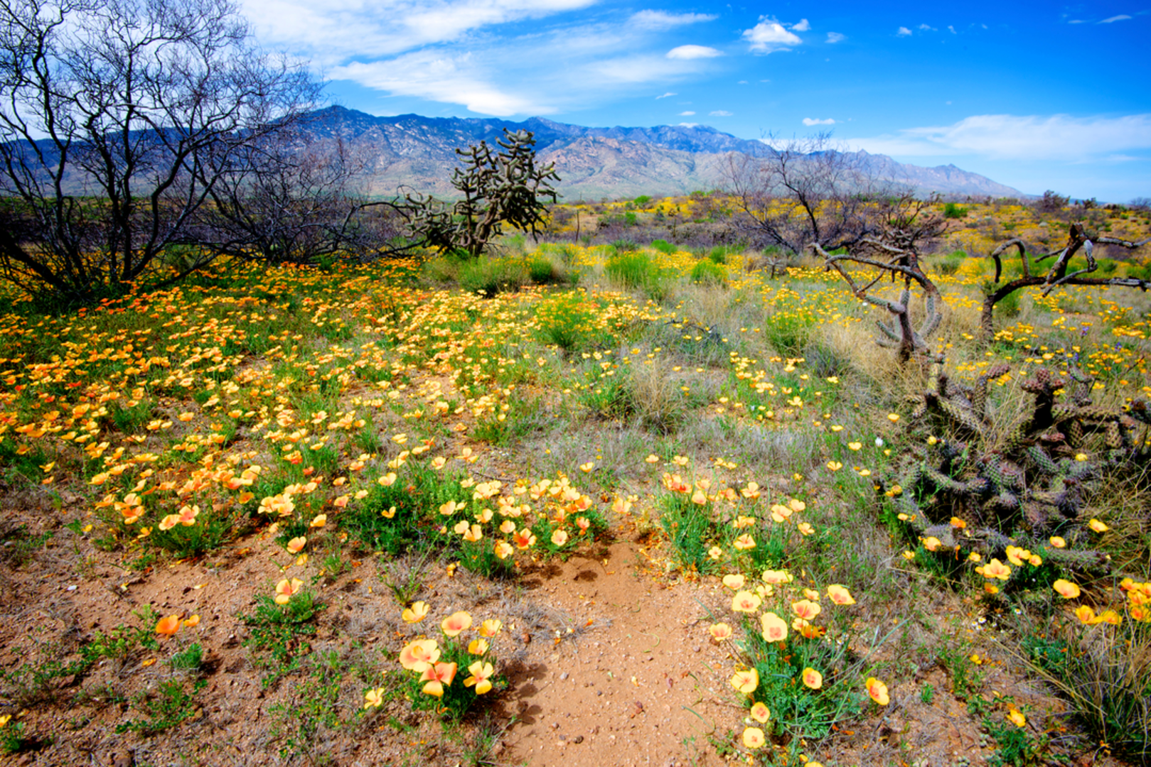
As you embark on the Grand Enchantment Trail, you'll traverse a diverse array of landscapes, including the Sonoran Desert's saguaro cactus forests, the rugged Superstition Mountains, and the higher elevations of the Mogollon Rim and the White Mountains. The trail then descends into the Gila River canyons and crosses the Black Range before culminating in the Sandia Mountains near Albuquerque.
Landmarks and Natural Features
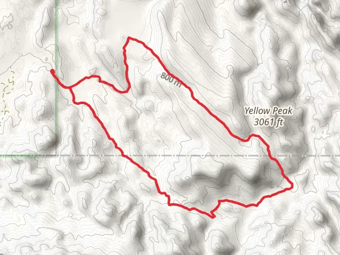
One of the early highlights is the Superstition Wilderness, where you'll encounter the legendary Weaver's Needle, a distinctive rock formation that rises approximately 1,000 feet (305 meters) and is steeped in tales of lost gold mines. As you progress, the Gila Wilderness offers a chance to explore one of the oldest and most remote wilderness areas in the U.S., with hot springs and cliff dwellings that hint at the region's rich Native American history.
Wildlife and Flora
The trail's diverse ecosystems are home to an array of wildlife, including black bears, elk, deer, and mountain lions. Birdwatchers may spot a variety of species, from the cactus wren to the rare Mexican spotted owl. The flora is equally varied, with a transition from desert cacti to ponderosa pines as you gain elevation.
Navigation and Planning
Hikers should plan their journey carefully, taking into account the remote sections of the trail where water sources can be scarce, especially in the desert stretches. It's essential to carry a reliable navigation tool like HiiKER to keep track of your location and the nearest water sources, campsites, and resupply points.
Historical Significance
The trail passes through regions rich in history, from ancient Native American sites to remnants of the Old West. The Gila River, for example, was a lifeline for the Mogollon culture, and the area is dotted with archaeological sites. The mining towns along the route also offer a glimpse into the boom-and-bust cycles of the American frontier.
Preparation and Safety
Given the trail's length and varied terrain, hikers should be well-prepared with the appropriate gear for desert heat and mountain cold. It's also wise to have a plan for resupplying food and other essentials. Safety precautions are crucial, including knowledge of first aid, the ability to navigate challenging terrain, and awareness of weather conditions that can lead to flash floods or extreme temperatures.
By preparing adequately and respecting the natural and historical significance of the regions traversed, hikers can embark on a memorable journey along the Grand Enchantment Trail, experiencing the heart of the American Southwest's rugged beauty.

What to expect?
Activity types
Comments and Reviews
User comments, reviews and discussions about the Grand Enchantment Trail, Arizona.
4.44
average rating out of 5
9 rating(s)