Download
Preview
Add to list
More
81.4 km
~5 days
1298 m
Multi-Day
“Embark on the Ranger Trail for a historic, wildlife-rich hike through Arizona's captivating desert terrain.”
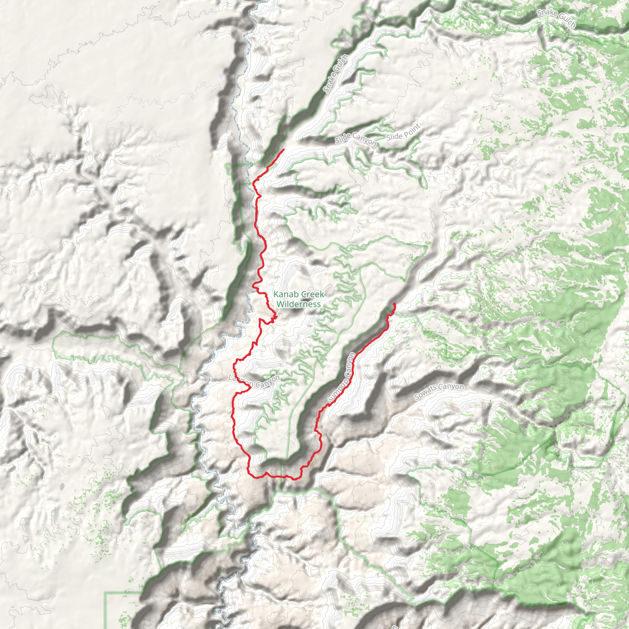
The Ranger Trail, spanning approximately 81 kilometers (around 50 miles) with an elevation gain of roughly 1200 meters (close to 3937 feet), is a loop trail situated near Mohave County, Arizona. This medium-difficulty hike offers a blend of scenic vistas, diverse ecosystems, and a touch of history, making it a fulfilling experience for avid hikers.
Getting to the Trailhead
To reach the trailhead, which is conveniently located near Mohave County, hikers can drive or use public transportation. If driving, the starting point is accessible via Highway 93, turning off at the designated trailhead signpost. For those relying on public transport, the nearest bus stops are typically in the closest town, and from there, a taxi or a local shuttle service can be used to reach the trailhead.
Navigating the Trail
Hikers can utilize the HiiKER app to navigate the trail, ensuring they stay on the correct path and can pinpoint their location at any time. The app provides detailed maps and trail information, which is particularly useful for the Ranger Trail's loop configuration.
Trail Experience
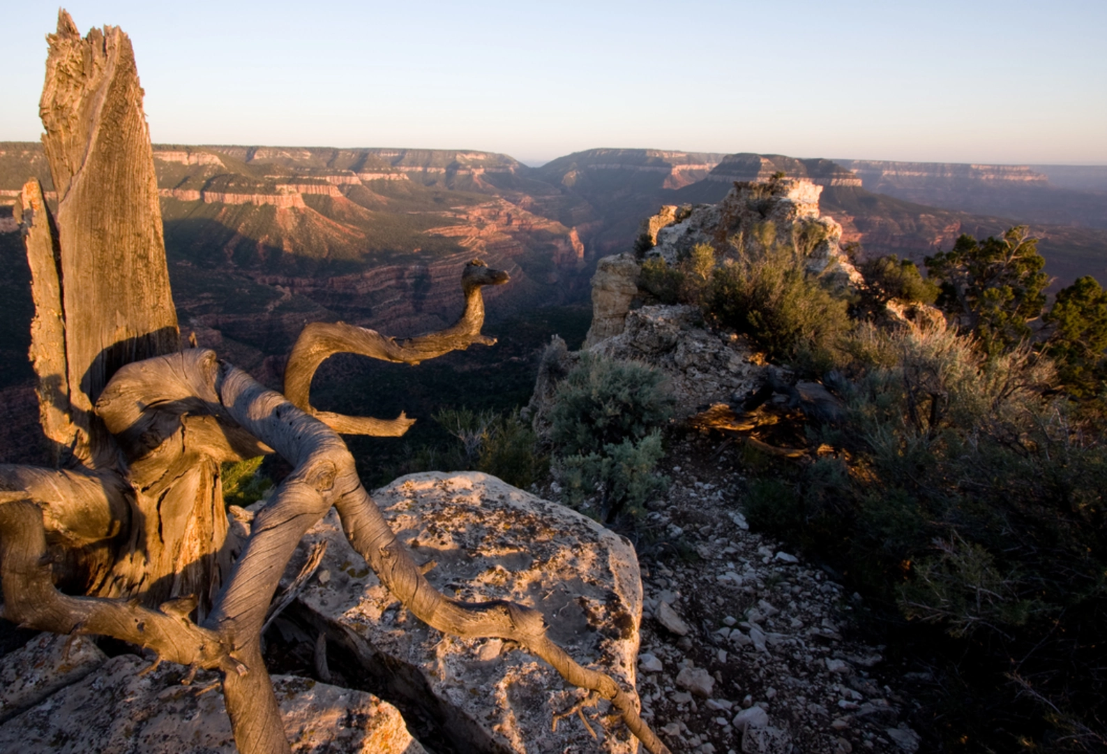
As you embark on the Ranger Trail, the initial section introduces you to the arid landscapes typical of the region, with cacti and hardy desert shrubs dotting the terrain. The trail then meanders through a series of gradual inclines and descents, offering panoramic views of the surrounding desert.
Wildlife and Flora
The area is home to a variety of wildlife, including jackrabbits, coyotes, and an array of bird species. Hikers should be aware of the potential to encounter rattlesnakes and should always keep a safe distance from wildlife. The trail also showcases a range of desert flora, from blooming wildflowers in the spring to the iconic Saguaro cactus, standing tall against the skyline.
Historical Significance
The region around the Ranger Trail is steeped in history, with remnants of Native American settlements and old mining operations scattered throughout the landscape. Hikers will pass by several historical markers that provide context to the area's past, including tales of the pioneers and prospectors who once traversed these lands in search of fortune.
Preparation and Safety
Due to the trail's length and desert environment, it is essential to be well-prepared with adequate water, sun protection, and sturdy hiking boots. The best times to hike are in the cooler months to avoid the extreme heat of the Arizona summer. Always inform someone of your hiking plans and expected return time.
Conclusion
The Ranger Trail offers a comprehensive hiking experience that combines natural beauty, wildlife encounters, and a glimpse into the historical tapestry of Mohave County. With proper preparation and the use of navigation tools like HiiKER, hikers can enjoy a memorable adventure on this distinctive loop trail.
Comments and Reviews
User comments, reviews and discussions about the Ranger Trail, Arizona.
4.5
average rating out of 5
2 rating(s)

